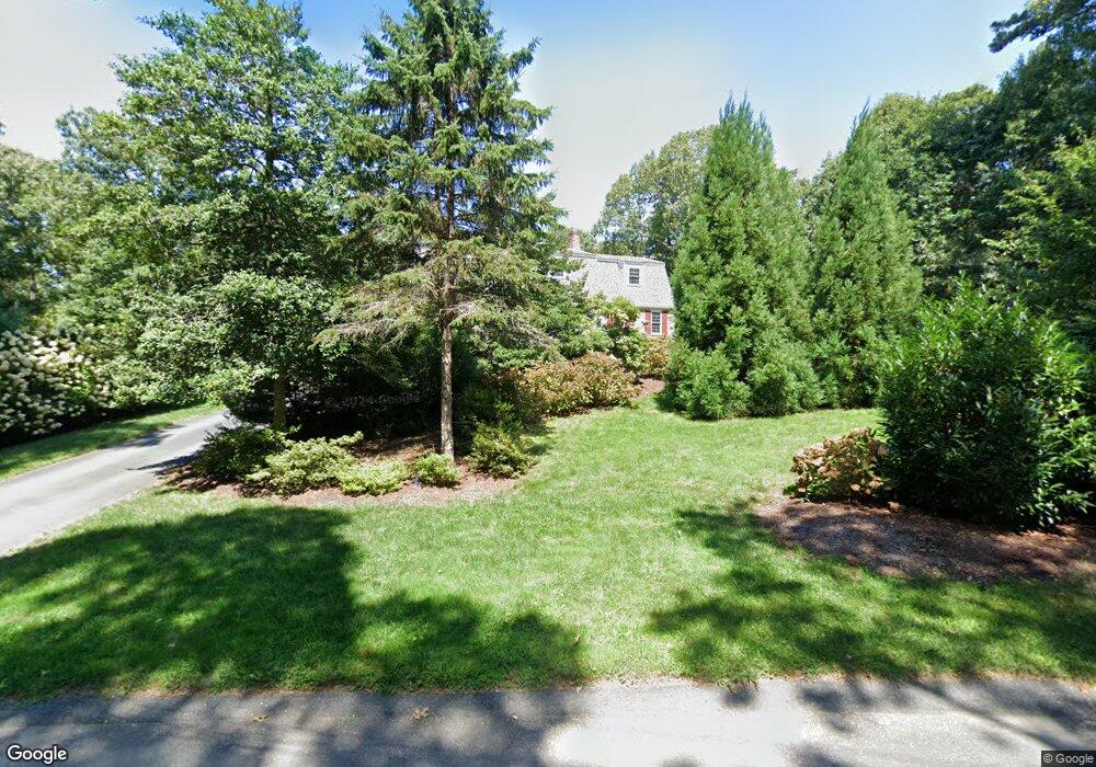
22 Grannys Ln Orleans, MA 02653
Estimated Value: $1,101,000 - $1,381,000
4
Beds
2
Baths
2,201
Sq Ft
$547/Sq Ft
Est. Value
About This Home
This home is located at 22 Grannys Ln, Orleans, MA 02653 and is currently estimated at $1,205,003, approximately $547 per square foot. 22 Grannys Ln is a home located in Barnstable County with nearby schools including Orleans Elementary School, Nauset Regional Middle School, and Nauset Regional High School.
Ownership History
Date
Name
Owned For
Owner Type
Purchase Details
Closed on
Nov 5, 2004
Sold by
Burke Paul
Bought by
Ryall Deborah J and Ryall Ralph R
Current Estimated Value
Home Financials for this Owner
Home Financials are based on the most recent Mortgage that was taken out on this home.
Original Mortgage
$422,000
Outstanding Balance
$209,609
Interest Rate
5.71%
Mortgage Type
Purchase Money Mortgage
Estimated Equity
$995,394
Purchase Details
Closed on
Mar 3, 2004
Sold by
Dugan Elisabeth F and Dugan Elizabeth F
Bought by
Burke Paul
Create a Home Valuation Report for This Property
The Home Valuation Report is an in-depth analysis detailing your home's value as well as a comparison with similar homes in the area
Home Values in the Area
Average Home Value in this Area
Purchase History
| Date | Buyer | Sale Price | Title Company |
|---|---|---|---|
| Ryall Deborah J | $528,000 | -- | |
| Burke Paul | $445,590 | -- |
Source: Public Records
Mortgage History
| Date | Status | Borrower | Loan Amount |
|---|---|---|---|
| Open | Ryall Deborah J | $422,000 |
Source: Public Records
Tax History Compared to Growth
Tax History
| Year | Tax Paid | Tax Assessment Tax Assessment Total Assessment is a certain percentage of the fair market value that is determined by local assessors to be the total taxable value of land and additions on the property. | Land | Improvement |
|---|---|---|---|---|
| 2025 | $5,966 | $956,100 | $275,700 | $680,400 |
| 2024 | $5,563 | $867,800 | $270,300 | $597,500 |
| 2023 | $5,032 | $807,700 | $250,300 | $557,400 |
| 2022 | $4,314 | $599,200 | $202,200 | $397,000 |
| 2021 | $4,187 | $534,000 | $202,800 | $331,200 |
| 2020 | $3,862 | $510,800 | $191,500 | $319,300 |
| 2019 | $3,695 | $499,300 | $186,200 | $313,100 |
| 2018 | $3,178 | $479,400 | $182,600 | $296,800 |
| 2017 | $2,970 | $469,200 | $182,600 | $286,600 |
| 2016 | $2,985 | $462,100 | $181,100 | $281,000 |
| 2015 | $2,703 | $421,000 | $177,500 | $243,500 |
Source: Public Records
Map
Nearby Homes
- 5 Blackberry Ln
- 30 Grannys Ln
- 34 Uncle Israel Rd
- 17 Crescent Ridge Way
- 6 Monomoy Ln
- 8 Monomoy Ln
- 34 Lake Dr
- 2 Monomoy Ln
- 4 Monomoy Ln
- 5 Wesquansett Rd
- 2 Carolines Way
- 532 S Orleans Rd
- 33 Rogers Rd
- 37 Eli Rogers Rd
- 204 Timberlane Dr
- 42 Towhee Ln
- 6 Sturbridge Dr
- 0 Pine Grove Rd Unit 22503517
- 0 Pine Grove Rd Unit 73397945
- 34 Ridgewood Rd
- 16 Grannys Ln
- 16 Grannys Ln
- 3 Blackberry Ln
- 21 Grannys Ln
- 11 Grannys Ln
- 10 Grannys Ln
- 33 Grannys Ln
- 20 Crescent Ridge Way
- 18 Crescent Ridge Way
- 25 Grannys Ln
- 25 Granny's Ln
- 6 Blackberry Ln
- 5 Grannys Ln
- 38 Grannys Ln
- 6 Grannys Ln
- 21 Crescent Ridge Way
- 27 Uncle Israel's Rd
- 37 Grannys Ln
- 27 Uncle Israel Rd
- 52 Forest Way