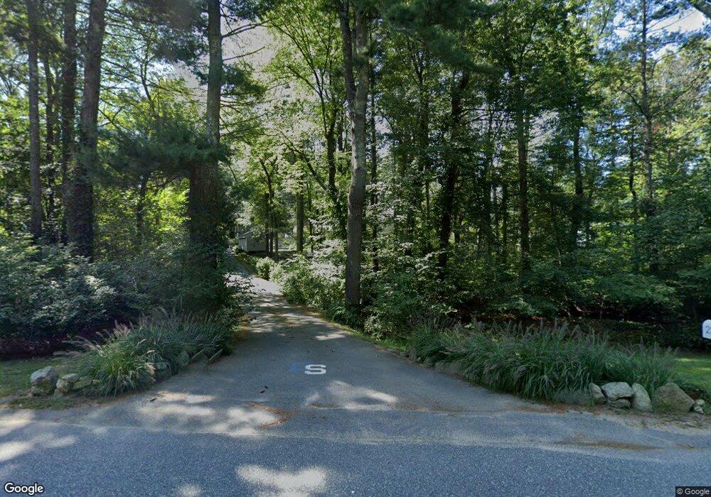
22 Great Rock Rd Sherborn, MA 01770
Estimated Value: $912,000 - $1,168,000
4
Beds
3
Baths
2,184
Sq Ft
$473/Sq Ft
Est. Value
About This Home
This home is located at 22 Great Rock Rd, Sherborn, MA 01770 and is currently estimated at $1,031,966, approximately $472 per square foot. 22 Great Rock Rd is a home located in Middlesex County with nearby schools including Pine Hill Elementary School, Dover-Sherborn Regional Middle School, and Dover-Sherborn Regional High School.
Ownership History
Date
Name
Owned For
Owner Type
Purchase Details
Closed on
Sep 10, 2009
Sold by
Rich Robert W and Rich Pearl R
Bought by
Siegal Charles T and Siegal Meghan H
Current Estimated Value
Home Financials for this Owner
Home Financials are based on the most recent Mortgage that was taken out on this home.
Original Mortgage
$417,000
Outstanding Balance
$275,062
Interest Rate
5.36%
Mortgage Type
Purchase Money Mortgage
Estimated Equity
$756,904
Create a Home Valuation Report for This Property
The Home Valuation Report is an in-depth analysis detailing your home's value as well as a comparison with similar homes in the area
Home Values in the Area
Average Home Value in this Area
Purchase History
| Date | Buyer | Sale Price | Title Company |
|---|---|---|---|
| Siegal Charles T | $522,000 | -- | |
| Rich Robert W | -- | -- |
Source: Public Records
Mortgage History
| Date | Status | Borrower | Loan Amount |
|---|---|---|---|
| Open | Siegal Charles T | $417,000 |
Source: Public Records
Tax History Compared to Growth
Tax History
| Year | Tax Paid | Tax Assessment Tax Assessment Total Assessment is a certain percentage of the fair market value that is determined by local assessors to be the total taxable value of land and additions on the property. | Land | Improvement |
|---|---|---|---|---|
| 2025 | $14,192 | $856,000 | $453,700 | $402,300 |
| 2024 | $12,699 | $749,200 | $401,500 | $347,700 |
| 2023 | $11,942 | $663,100 | $401,500 | $261,600 |
| 2022 | $11,275 | $592,500 | $391,300 | $201,200 |
| 2021 | $5,198 | $577,200 | $391,300 | $185,900 |
| 2020 | $11,232 | $577,200 | $391,300 | $185,900 |
| 2019 | $6,193 | $574,900 | $391,300 | $183,600 |
| 2018 | $4,750 | $569,000 | $391,300 | $177,700 |
| 2017 | $11,120 | $543,500 | $391,300 | $152,200 |
| 2016 | $11,106 | $539,900 | $391,300 | $148,600 |
| 2015 | $10,646 | $523,900 | $378,300 | $145,600 |
| 2014 | $10,361 | $509,400 | $366,300 | $143,100 |
Source: Public Records
Map
Nearby Homes
- 14 Sewall Brook Ln
- 65 Farm Road Lot 6
- 7 Fawn Rd
- 2 Surrey Ln
- 4 Green Ln
- 32 Lake St
- 61 Old Orchard Rd
- 105 N Main St
- 220 S Main St
- 15 Wyndemere Ln
- 53 Yorkshire Rd
- 114 Farm St
- 18 Wildwood Dr
- 20 Nason Hill Rd
- 25 Yorkshire Rd
- 8 Greystone Rd
- 39 Indian Ridge Rd
- 16 Wayside Rd Unit 14
- 16 Wayside Rd
- 38 Bullard St
- 24 Great Rock Rd
- 20 Great Rock Rd
- 28 Great Rock Rd
- 3 Peckham Hill Rd
- 19 Great Rock Rd
- 5 Peckham Hill Rd
- 23 Great Rock Rd
- 25 Great Rock Rd
- 17 Great Rock Rd
- 29 Great Rock Rd
- 11 Peckham Hill Rd
- 30 Great Rock Rd
- 7 Peckham Hill Rd
- 13 Great Rock Rd
- 10 Great Rock Rd
- 31 Great Rock Rd
- 34 Great Rock Rd Unit rear
- 34 Great Rock Rd
- 9 Peckham Hill Rd
- 6 Peckham Hill Rd