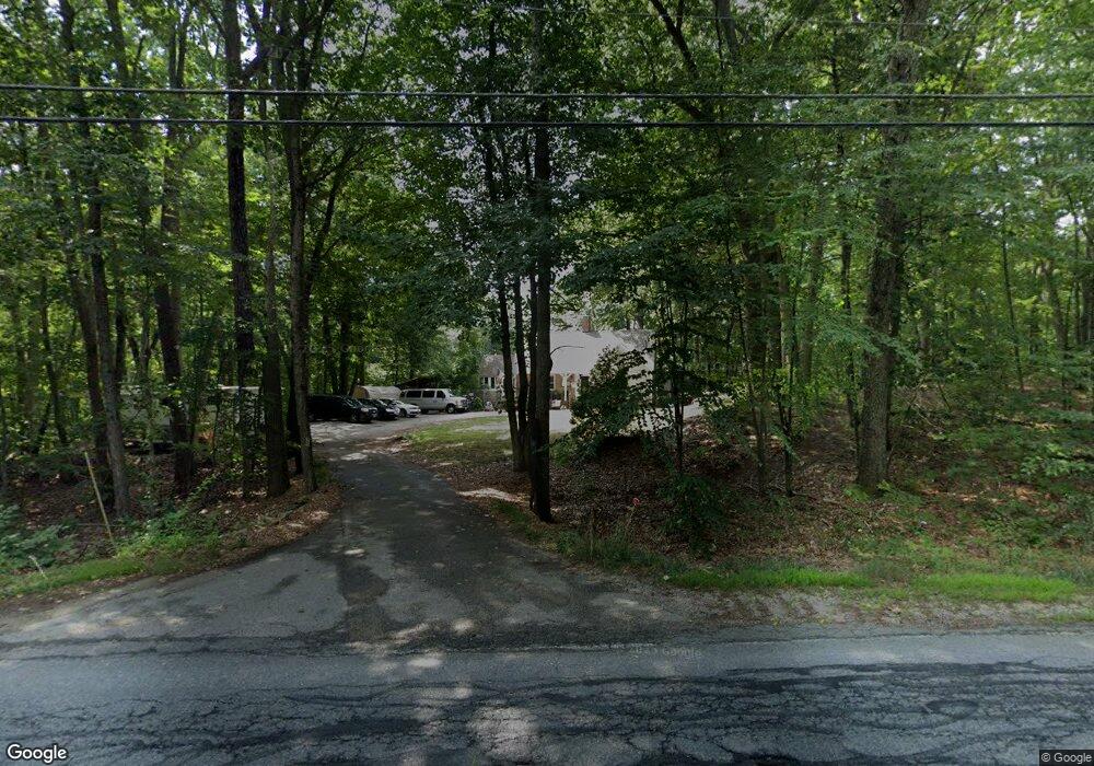
22 Green Rd Raymond, NH 03077
Estimated Value: $637,595 - $666,000
4
Beds
2
Baths
2,216
Sq Ft
$294/Sq Ft
Est. Value
About This Home
This home is located at 22 Green Rd, Raymond, NH 03077 and is currently estimated at $652,149, approximately $294 per square foot. 22 Green Rd is a home located in Rockingham County with nearby schools including Lamprey River Elementary School, Iber Holmes Gove Middle School, and Raymond High School.
Ownership History
Date
Name
Owned For
Owner Type
Purchase Details
Closed on
Oct 29, 1999
Sold by
Mayo Sally
Bought by
Lowman Darrell T and Lowman Louisa A
Current Estimated Value
Home Financials for this Owner
Home Financials are based on the most recent Mortgage that was taken out on this home.
Original Mortgage
$127,920
Outstanding Balance
$39,142
Interest Rate
7.78%
Estimated Equity
$613,007
Create a Home Valuation Report for This Property
The Home Valuation Report is an in-depth analysis detailing your home's value as well as a comparison with similar homes in the area
Home Values in the Area
Average Home Value in this Area
Purchase History
| Date | Buyer | Sale Price | Title Company |
|---|---|---|---|
| Lowman Darrell T | $160,000 | -- |
Source: Public Records
Mortgage History
| Date | Status | Borrower | Loan Amount |
|---|---|---|---|
| Open | Lowman Darrell T | $127,920 |
Source: Public Records
Tax History Compared to Growth
Tax History
| Year | Tax Paid | Tax Assessment Tax Assessment Total Assessment is a certain percentage of the fair market value that is determined by local assessors to be the total taxable value of land and additions on the property. | Land | Improvement |
|---|---|---|---|---|
| 2024 | $8,129 | $371,000 | $114,700 | $256,300 |
| 2023 | $7,687 | $371,000 | $114,700 | $256,300 |
| 2022 | $6,786 | $371,000 | $114,700 | $256,300 |
| 2021 | $6,867 | $371,000 | $114,700 | $256,300 |
| 2020 | $7,242 | $276,400 | $84,200 | $192,200 |
| 2019 | $7,349 | $276,400 | $84,200 | $192,200 |
| 2018 | $7,283 | $276,400 | $84,200 | $192,200 |
| 2017 | $6,689 | $276,400 | $84,200 | $192,200 |
| 2016 | $6,562 | $276,400 | $84,200 | $192,200 |
| 2015 | $6,200 | $247,200 | $84,200 | $163,000 |
| 2014 | $6,014 | $247,200 | $84,200 | $163,000 |
| 2013 | $5,830 | $246,600 | $84,200 | $162,400 |
Source: Public Records
Map
Nearby Homes
- 24 Kendall Ln
- 15 Sargent Dr
- 0 Eastside Dr
- 29 Batchelder Rd
- 189 Route 27
- 202 Route 27 Unit 36
- 7 Merrick Rd
- 0 Lane Rd Unit 39
- 28 Blackstone Dr
- 57 Blackstone Dr
- 3 Lincoln Dr
- 16 Saddle Path Rd
- 8 Sherman Dr
- 3 Mica Dr Unit 1
- 53 Barberry Ln
- 29 Harriman Rd
- 15 Bald Hill Rd
- 7 Bald Hill Rd
- 19 Bald Hill Rd
- 40 Bald Hill Rd