22 Hickory Hill Rd Gill, MA 01354
Gill NeighborhoodEstimated Value: $1,083,122
3
Beds
4
Baths
3,215
Sq Ft
$337/Sq Ft
Est. Value
About This Home
This home is located at 22 Hickory Hill Rd, Gill, MA 01354 and is currently estimated at $1,083,122, approximately $336 per square foot. 22 Hickory Hill Rd is a home located in Franklin County.
Ownership History
Date
Name
Owned For
Owner Type
Purchase Details
Closed on
Jul 16, 2021
Sold by
Elliott Duncan J and Elliott Jaquelene M
Bought by
Marsh Stuart B and Marsh Noreen M
Current Estimated Value
Home Financials for this Owner
Home Financials are based on the most recent Mortgage that was taken out on this home.
Original Mortgage
$652,500
Outstanding Balance
$589,469
Interest Rate
2.9%
Mortgage Type
Purchase Money Mortgage
Estimated Equity
$493,653
Purchase Details
Closed on
May 5, 2000
Sold by
Gary Herbert O and Hebert Karen L
Bought by
Elliott Duncan James and Elliott Jacquelene M
Home Financials for this Owner
Home Financials are based on the most recent Mortgage that was taken out on this home.
Original Mortgage
$30,000
Interest Rate
8.21%
Mortgage Type
Commercial
Create a Home Valuation Report for This Property
The Home Valuation Report is an in-depth analysis detailing your home's value as well as a comparison with similar homes in the area
Home Values in the Area
Average Home Value in this Area
Purchase History
| Date | Buyer | Sale Price | Title Company |
|---|---|---|---|
| Marsh Stuart B | $870,000 | None Available | |
| Marsh Stuart B | $870,000 | None Available | |
| Marsh Stuart B | $870,000 | None Available | |
| Elliott Duncan James | $190,000 | -- | |
| Elliott Duncan James | $190,000 | -- |
Source: Public Records
Mortgage History
| Date | Status | Borrower | Loan Amount |
|---|---|---|---|
| Open | Marsh Stuart B | $652,500 | |
| Closed | Marsh Stuart B | $652,500 | |
| Previous Owner | Elliott Duncan James | $355,000 | |
| Previous Owner | Elliott Duncan James | $30,000 |
Source: Public Records
Tax History Compared to Growth
Tax History
| Year | Tax Paid | Tax Assessment Tax Assessment Total Assessment is a certain percentage of the fair market value that is determined by local assessors to be the total taxable value of land and additions on the property. | Land | Improvement |
|---|---|---|---|---|
| 2025 | $15,377 | $1,048,900 | $130,200 | $918,700 |
| 2024 | $14,601 | $943,200 | $118,300 | $824,900 |
| 2023 | $13,574 | $802,700 | $107,800 | $694,900 |
| 2022 | $7,417 | $445,200 | $61,600 | $383,600 |
| 2021 | $7,139 | $412,900 | $61,600 | $351,300 |
| 2020 | $7,123 | $412,900 | $61,600 | $351,300 |
| 2019 | $6,890 | $399,200 | $59,200 | $340,000 |
| 2018 | $6,522 | $379,600 | $59,200 | $320,400 |
| 2017 | $6,339 | $382,300 | $59,200 | $323,100 |
| 2016 | $6,379 | $378,600 | $73,000 | $305,600 |
| 2015 | -- | $372,100 | $73,000 | $299,100 |
Source: Public Records
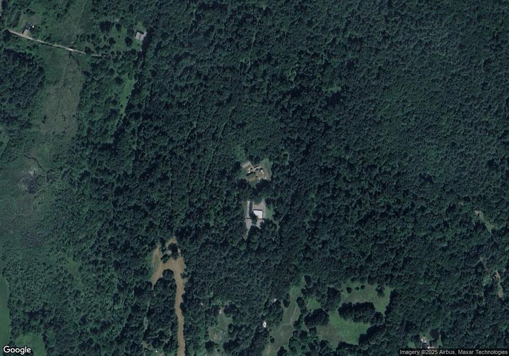
Map
Nearby Homes
- 182 Main Rd
- 0 Meadow View Ln & Pine Meadow
- 47 Cross St
- 59 River St
- 23 Industrial Dr
- 1 Northfield Rd
- 75 South St Unit 3
- 180 Bald Mountain Rd
- 001 Adams Rd
- 31 Lovers Ln
- 21 Hillside Ave
- 30 Park St
- 83 Eden Trail Branch
- 0 Millers Falls Rd Unit 73034825
- 294 Capt Beers Plain Rd
- 539 Fox Hill Rd
- 104 S Mountain Rd
- 45 Millers Falls Rd
- 696 Bernardston Rd
- 72 Meadowood Dr