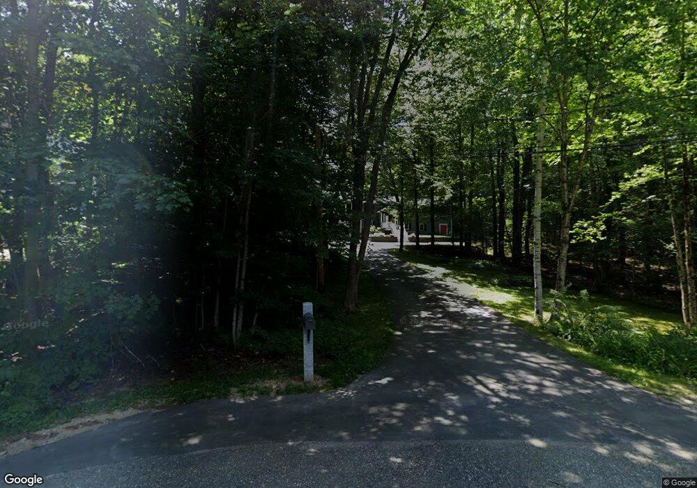
22 Hickory Way Strafford, NH 03884
Estimated Value: $549,702 - $616,000
3
Beds
2
Baths
1,988
Sq Ft
$295/Sq Ft
Est. Value
About This Home
This home is located at 22 Hickory Way, Strafford, NH 03884 and is currently estimated at $587,176, approximately $295 per square foot. 22 Hickory Way is a home located in Strafford County with nearby schools including Strafford School and Coe-Brown Northwood Academy.
Ownership History
Date
Name
Owned For
Owner Type
Purchase Details
Closed on
Mar 21, 2008
Sold by
Archie E Follett Ret
Bought by
Hogshead Preston B and Follett-Hogshead Ruth
Current Estimated Value
Home Financials for this Owner
Home Financials are based on the most recent Mortgage that was taken out on this home.
Original Mortgage
$112,000
Interest Rate
5.75%
Mortgage Type
Purchase Money Mortgage
Create a Home Valuation Report for This Property
The Home Valuation Report is an in-depth analysis detailing your home's value as well as a comparison with similar homes in the area
Home Values in the Area
Average Home Value in this Area
Purchase History
| Date | Buyer | Sale Price | Title Company |
|---|---|---|---|
| Hogshead Preston B | $112,000 | -- |
Source: Public Records
Mortgage History
| Date | Status | Borrower | Loan Amount |
|---|---|---|---|
| Open | Hogshead Preston B | $210,000 | |
| Closed | Hogshead Preston B | $112,000 |
Source: Public Records
Tax History Compared to Growth
Tax History
| Year | Tax Paid | Tax Assessment Tax Assessment Total Assessment is a certain percentage of the fair market value that is determined by local assessors to be the total taxable value of land and additions on the property. | Land | Improvement |
|---|---|---|---|---|
| 2024 | $7,465 | $377,800 | $77,800 | $300,000 |
| 2023 | $7,042 | $377,800 | $77,800 | $300,000 |
| 2022 | $6,472 | $377,800 | $77,800 | $300,000 |
| 2021 | $6,775 | $377,800 | $77,800 | $300,000 |
| 2020 | $1,839 | $271,200 | $79,800 | $191,400 |
| 2019 | $6,365 | $271,200 | $79,800 | $191,400 |
| 2018 | $1,608 | $271,200 | $79,800 | $191,400 |
| 2016 | $5,763 | $271,200 | $79,800 | $191,400 |
| 2015 | $5,298 | $242,900 | $76,800 | $166,100 |
| 2014 | $5,626 | $242,900 | $76,800 | $166,100 |
| 2013 | $5,425 | $239,200 | $76,800 | $162,400 |
| 2012 | $5,353 | $239,200 | $76,800 | $162,400 |
Source: Public Records
Map
Nearby Homes
- Map 3 Lot 18-2b and 18-2c Water St
- 3 Fire 151 Rd
- 11 Drake Hill Rd
- 133 & 137 Browns Pasture Rd
- 268 Province Rd
- M37 L40 Beaver Rd
- 295 1st New Hampshire Turnpike
- 31 Green St
- 150A 1st New Hampshire Turnpike
- 0 1st New Hampshire Turnpike Unit 5026030
- 0 1st New Hampshire Turnpike Unit 5013320
- Map 219 Lot 6-8 Ridge Rd
- 2184 Franklin Pierce Hwy
- 28-1 Range Rd
- 142 Mountain Ave
- 249 Cooper Hill Rd
- 108 Lucas Pond Rd
- 5 Liberty Ln
- 64 Kelsey Mill Rd
- 83 Sloper Rd