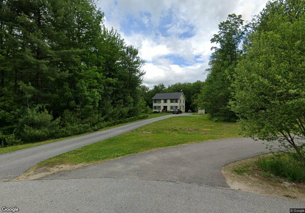
22 Hilltop Dr Pittsfield, NH 03263
Estimated Value: $483,000 - $551,000
4
Beds
3
Baths
2,163
Sq Ft
$237/Sq Ft
Est. Value
About This Home
This home is located at 22 Hilltop Dr, Pittsfield, NH 03263 and is currently estimated at $512,950, approximately $237 per square foot. 22 Hilltop Dr is a home located in Merrimack County with nearby schools including Pittsfield Elementary School and Pittsfield High School.
Ownership History
Date
Name
Owned For
Owner Type
Purchase Details
Closed on
Feb 23, 2007
Sold by
Structural Consultant
Bought by
Sarte Wayne R
Current Estimated Value
Home Financials for this Owner
Home Financials are based on the most recent Mortgage that was taken out on this home.
Original Mortgage
$231,100
Outstanding Balance
$138,957
Interest Rate
6.23%
Mortgage Type
Purchase Money Mortgage
Estimated Equity
$373,993
Create a Home Valuation Report for This Property
The Home Valuation Report is an in-depth analysis detailing your home's value as well as a comparison with similar homes in the area
Home Values in the Area
Average Home Value in this Area
Purchase History
| Date | Buyer | Sale Price | Title Company |
|---|---|---|---|
| Sarte Wayne R | $242,100 | -- |
Source: Public Records
Mortgage History
| Date | Status | Borrower | Loan Amount |
|---|---|---|---|
| Open | Sarte Wayne R | $231,100 |
Source: Public Records
Tax History Compared to Growth
Tax History
| Year | Tax Paid | Tax Assessment Tax Assessment Total Assessment is a certain percentage of the fair market value that is determined by local assessors to be the total taxable value of land and additions on the property. | Land | Improvement |
|---|---|---|---|---|
| 2024 | $8,722 | $292,000 | $85,800 | $206,200 |
| 2023 | $7,291 | $292,000 | $85,800 | $206,200 |
| 2022 | $6,944 | $292,000 | $85,800 | $206,200 |
| 2020 | $7,218 | $292,000 | $85,800 | $206,200 |
| 2019 | $7,226 | $219,900 | $55,700 | $164,200 |
| 2018 | $7,334 | $219,900 | $55,700 | $164,200 |
| 2017 | $7,358 | $219,900 | $55,700 | $164,200 |
| 2016 | $7,092 | $219,900 | $55,700 | $164,200 |
| 2015 | $6,659 | $219,900 | $55,700 | $164,200 |
| 2014 | $6,228 | $213,800 | $57,700 | $156,100 |
| 2013 | $6,476 | $210,400 | $57,700 | $152,700 |
Source: Public Records
Map
Nearby Homes
- 4 Berry Ave
- 209 Catamount Rd
- 93 Fairview Dr
- 721 Province Rd
- 46 Clark St
- L33 Province Rd
- 110 Main St
- 8 Depot St
- 138 Bailey Dr
- 51 Swett Rd
- 0 Shaw Rd Unit 36-1
- 28 Sanderson Dr
- 371 Province Rd
- Rt 107 Unit Barnstead NH 03218
- 260 Garland Rd
- M1L52S3 Garland Rd
- Lot 16-4 Catamount Rd
- 18 Catamount Rd
- 0 Catamount Rd Unit 16-3 5039454
- 4 Sandy Point Rd
- 26 Hilltop Dr
- 14 Hilltop Dr
- 204 Tilton Hill Rd
- 220 Tilton Hill Rd
- 212 Tilton Hill Rd
- 190 Tilton Hill Rd
- 240 Tilton Hill Rd
- 184 Tilton Hill Rd
- 268 Tilton Hill Rd
- 229 Tilton Hill Rd
- 46 Will Smith Rd
- 270 Tilton Hill Rd
- 170 Tilton Hill Rd
- 261 Tilton Hill Rd
- 274 Tilton Hill Rd
- 0 Will Smith Rd Unit 4326043
- 0 Will Smith Rd Unit 12 4803775
- Lot 2 Route 28 Aka Suncook Valley Hwy
- Lot 1 Route 28 Aka Suncook Valley Hwy
- 310 Wild Goose Pond Rd