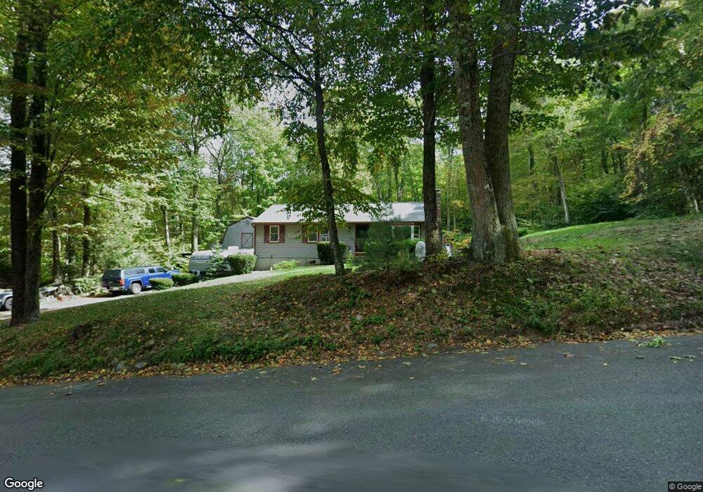
22 Holden Rd Sterling, MA 01564
Estimated Value: $320,000 - $552,000
3
Beds
2
Baths
1,144
Sq Ft
$401/Sq Ft
Est. Value
About This Home
This home is located at 22 Holden Rd, Sterling, MA 01564 and is currently estimated at $458,937, approximately $401 per square foot. 22 Holden Rd is a home located in Worcester County with nearby schools including Wachusett Regional High School.
Ownership History
Date
Name
Owned For
Owner Type
Purchase Details
Closed on
Jul 24, 2008
Sold by
Gray Elizabeth A and Gray Robert L
Bought by
Gray Lt and Gray Elizabeth A
Current Estimated Value
Purchase Details
Closed on
Dec 26, 1989
Sold by
Sears Thomas
Bought by
Gray Robert
Purchase Details
Closed on
Mar 31, 1987
Sold by
Robb Edward G
Bought by
Sears Thomas L
Create a Home Valuation Report for This Property
The Home Valuation Report is an in-depth analysis detailing your home's value as well as a comparison with similar homes in the area
Home Values in the Area
Average Home Value in this Area
Purchase History
| Date | Buyer | Sale Price | Title Company |
|---|---|---|---|
| Gray Lt | -- | -- | |
| Gray Robert | $136,000 | -- | |
| Sears Thomas L | $137,500 | -- |
Source: Public Records
Mortgage History
| Date | Status | Borrower | Loan Amount |
|---|---|---|---|
| Open | Sears Thomas L | $105,500 | |
| Previous Owner | Sears Thomas L | $109,600 | |
| Previous Owner | Sears Thomas L | $25,000 |
Source: Public Records
Tax History Compared to Growth
Tax History
| Year | Tax Paid | Tax Assessment Tax Assessment Total Assessment is a certain percentage of the fair market value that is determined by local assessors to be the total taxable value of land and additions on the property. | Land | Improvement |
|---|---|---|---|---|
| 2025 | $5,473 | $424,900 | $129,800 | $295,100 |
| 2024 | $5,291 | $397,500 | $129,800 | $267,700 |
| 2023 | $5,102 | $356,800 | $129,800 | $227,000 |
| 2022 | $4,889 | $320,600 | $118,000 | $202,600 |
| 2021 | $12,979 | $275,000 | $118,000 | $157,000 |
| 2020 | $4,524 | $269,100 | $118,000 | $151,100 |
| 2019 | $4,523 | $261,900 | $118,000 | $143,900 |
| 2018 | $4,139 | $236,000 | $118,100 | $117,900 |
| 2017 | $3,903 | $216,500 | $109,300 | $107,200 |
| 2016 | $3,868 | $211,000 | $109,300 | $101,700 |
| 2015 | $3,688 | $213,300 | $114,300 | $99,000 |
| 2014 | $3,611 | $213,300 | $114,300 | $99,000 |
Source: Public Records
Map
Nearby Homes
- 9 Michael Ln
- 17 Coal Kiln Rd
- 751 Mason Rd
- 100 Houghton Rd
- 61 Boutelle Rd
- 45 Neylon St
- 4 Jewett Rd Unit B
- 4 Jewett Rd Unit A
- 223 Worcester Rd
- 0 Boutelle Rd
- 0 North St
- 127 N Main St
- 133 Rowley Hill Rd
- 17 Taft Rd
- 5 Pine Woods Ln
- 287 Laurel St
- 5 Leo's Way Unit 1
- 7 Leo's Way Unit 1
- 17 Maple St
- 28 Merriam Rd