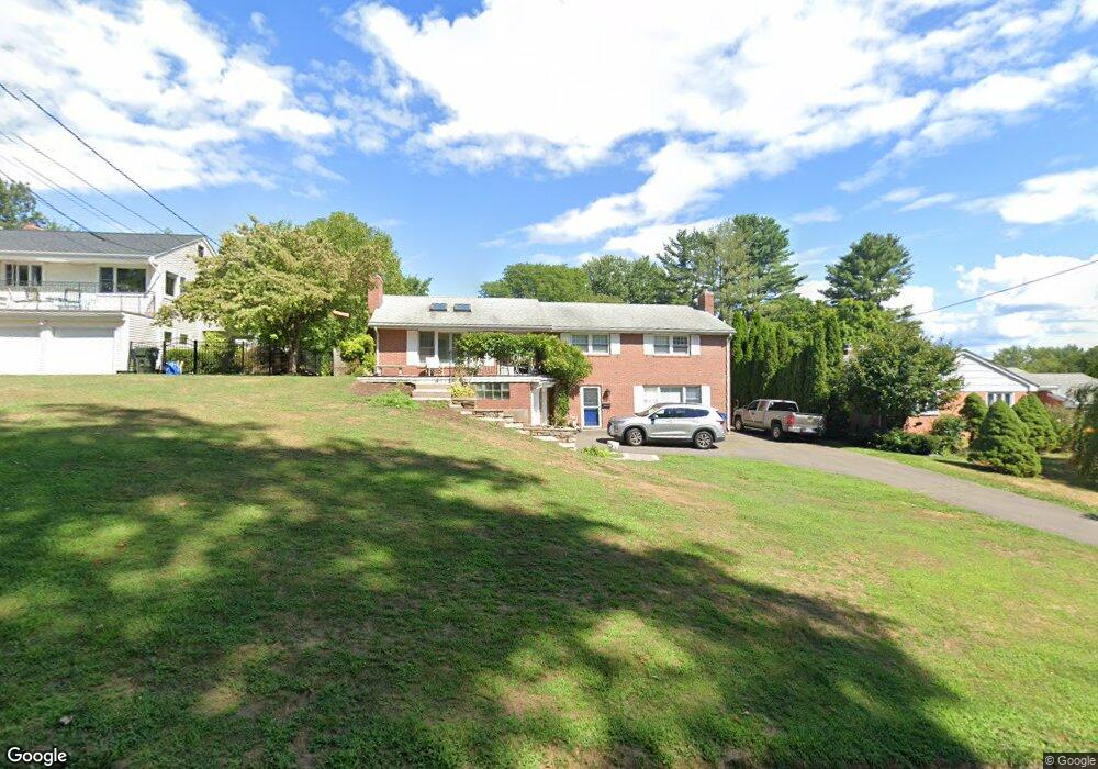
22 Howland Rd West Hartford, CT 06107
Estimated Value: $452,000 - $531,000
3
Beds
3
Baths
1,450
Sq Ft
$348/Sq Ft
Est. Value
About This Home
This home is located at 22 Howland Rd, West Hartford, CT 06107 and is currently estimated at $504,087, approximately $347 per square foot. 22 Howland Rd is a home located in Hartford County with nearby schools including Wolcott School, Sedgwick Middle School, and Conard High School.
Ownership History
Date
Name
Owned For
Owner Type
Purchase Details
Closed on
Nov 3, 2023
Sold by
Beattie James H and Beattie Mary
Bought by
Quinn Joseph P and Quinn Lucille M
Current Estimated Value
Home Financials for this Owner
Home Financials are based on the most recent Mortgage that was taken out on this home.
Original Mortgage
$270,000
Outstanding Balance
$265,353
Interest Rate
7.57%
Mortgage Type
Stand Alone Refi Refinance Of Original Loan
Estimated Equity
$238,734
Create a Home Valuation Report for This Property
The Home Valuation Report is an in-depth analysis detailing your home's value as well as a comparison with similar homes in the area
Home Values in the Area
Average Home Value in this Area
Purchase History
| Date | Buyer | Sale Price | Title Company |
|---|---|---|---|
| Quinn Joseph P | $450,000 | None Available | |
| Quinn Joseph P | $450,000 | None Available |
Source: Public Records
Mortgage History
| Date | Status | Borrower | Loan Amount |
|---|---|---|---|
| Open | Quinn Joseph P | $270,000 | |
| Closed | Quinn Joseph P | $270,000 |
Source: Public Records
Tax History Compared to Growth
Tax History
| Year | Tax Paid | Tax Assessment Tax Assessment Total Assessment is a certain percentage of the fair market value that is determined by local assessors to be the total taxable value of land and additions on the property. | Land | Improvement |
|---|---|---|---|---|
| 2025 | $10,166 | $227,010 | $86,240 | $140,770 |
| 2024 | $9,546 | $225,400 | $86,240 | $139,160 |
| 2023 | $9,223 | $225,400 | $86,240 | $139,160 |
| 2022 | $9,169 | $225,400 | $86,240 | $139,160 |
| 2021 | $8,778 | $206,920 | $86,240 | $120,680 |
| 2020 | $8,365 | $200,130 | $80,500 | $119,630 |
| 2019 | $8,365 | $200,130 | $80,500 | $119,630 |
| 2018 | $7,990 | $194,880 | $80,500 | $114,380 |
| 2017 | $7,998 | $194,880 | $80,500 | $114,380 |
| 2016 | $7,614 | $192,710 | $61,460 | $131,250 |
| 2015 | $7,383 | $192,710 | $61,460 | $131,250 |
| 2014 | $6,846 | $183,190 | $61,460 | $121,730 |
Source: Public Records
Map
Nearby Homes
- 73 Emily Way
- 31 Everett Ave
- 7 Brookmoor Rd
- 7 Buena Vista Rd
- 25 Birch Hill Dr
- 294 Tunxis Rd
- 14 Hedwig Ct
- 29 Fairwood Farms Dr
- 90 Farmington Ave
- 42 Fairwood Farms Dr
- 61 Waterside Ln
- 26 Garland Rd
- 236 Ridgewood Rd
- 88 Spring Ln
- 126 Westminster Dr
- 1925 Boulevard
- 00 Old Farm Dr
- 26 Pheasant Hill Dr
- 269 Mountain Rd
- 19 Sulgrave Rd
- 26 Howland Rd
- 20 Howland Rd
- 30 Howland Rd
- 16 Howland Rd
- 145 Selden Hill Dr
- 143 Selden Hill Dr
- 149 Selden Hill Dr
- 23 Howland Rd
- 25 Howland Rd
- 139 Selden Hill Dr
- 32 Howland Rd
- 19 Howland Rd
- 27 Howland Rd
- 12 Howland Rd
- 153 Selden Hill Dr
- 127 Selden Hill Dr
- 15 Howland Rd
- 133 Selden Hill Dr
- 31 Howland Rd
- 36 Howland Rd