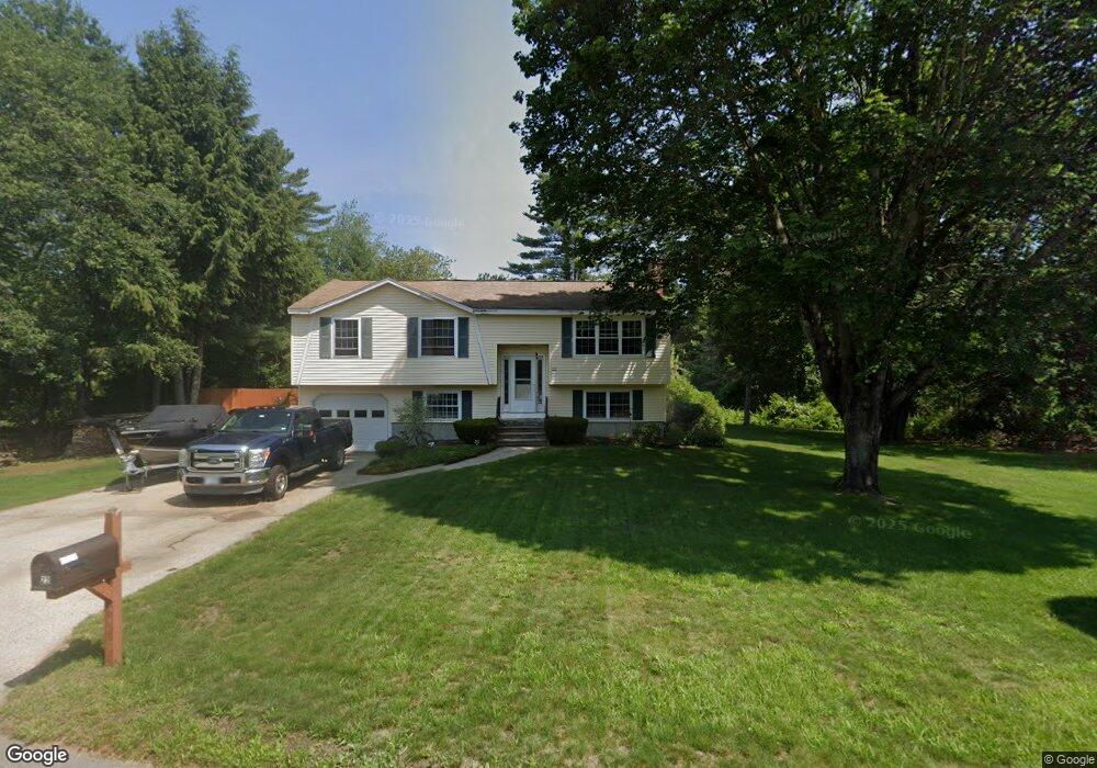
22 Jakes Ln Merrimack, NH 03054
Estimated Value: $517,000 - $581,000
3
Beds
2
Baths
1,696
Sq Ft
$328/Sq Ft
Est. Value
About This Home
This home is located at 22 Jakes Ln, Merrimack, NH 03054 and is currently estimated at $555,577, approximately $327 per square foot. 22 Jakes Ln is a home located in Hillsborough County with nearby schools including Reeds Ferry School, Merrimack Middle School, and James Mastricola Upper Elementary School.
Ownership History
Date
Name
Owned For
Owner Type
Purchase Details
Closed on
Aug 28, 1997
Sold by
Durkin John F and Durkin Judith M
Bought by
Garasky Darren J
Current Estimated Value
Home Financials for this Owner
Home Financials are based on the most recent Mortgage that was taken out on this home.
Original Mortgage
$117,996
Interest Rate
7.41%
Create a Home Valuation Report for This Property
The Home Valuation Report is an in-depth analysis detailing your home's value as well as a comparison with similar homes in the area
Home Values in the Area
Average Home Value in this Area
Purchase History
| Date | Buyer | Sale Price | Title Company |
|---|---|---|---|
| Garasky Darren J | $121,500 | -- |
Source: Public Records
Mortgage History
| Date | Status | Borrower | Loan Amount |
|---|---|---|---|
| Open | Garasky Darren J | $127,000 | |
| Closed | Garasky Darren J | $50,000 | |
| Closed | Garasky Darren J | $143,600 | |
| Closed | Garasky Darren J | $117,996 |
Source: Public Records
Tax History Compared to Growth
Tax History
| Year | Tax Paid | Tax Assessment Tax Assessment Total Assessment is a certain percentage of the fair market value that is determined by local assessors to be the total taxable value of land and additions on the property. | Land | Improvement |
|---|---|---|---|---|
| 2024 | $7,906 | $382,100 | $221,100 | $161,000 |
| 2023 | $7,432 | $382,100 | $221,100 | $161,000 |
| 2022 | $6,641 | $382,100 | $221,100 | $161,000 |
| 2021 | $6,609 | $384,900 | $221,100 | $163,800 |
| 2020 | $6,578 | $273,400 | $155,100 | $118,300 |
| 2019 | $6,597 | $273,400 | $155,100 | $118,300 |
| 2018 | $6,594 | $273,400 | $155,100 | $118,300 |
| 2017 | $6,389 | $273,400 | $155,100 | $118,300 |
| 2016 | $6,231 | $273,400 | $155,100 | $118,300 |
| 2015 | $6,121 | $247,600 | $144,100 | $103,500 |
| 2014 | $5,965 | $247,600 | $144,100 | $103,500 |
| 2013 | $5,920 | $247,600 | $144,100 | $103,500 |
Source: Public Records
Map
Nearby Homes
- 20 Jakes Ln
- 29 Brieann Dr
- 5 Fernwood Dr
- 8 Donovan Ct
- 14 Silver Doe Ln
- 14 Mayflower Dr
- 98 Indian Rock Rd
- 3 Independence Dr
- 7 Beacon Dr
- 40 Turkey Hill Rd
- 40 Captain Bannon Cir
- 22 Clay St
- 5 Barbie Ct
- 44 McQuade Brook Rd
- 38 Mallard Point
- 16 Summit Rd
- 79 Woodward Rd
- 8 Highland Green Ln
- 56 Greenfield Pkwy
- 7 Hadley Rd