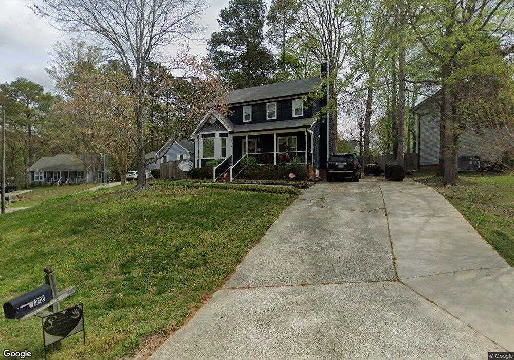
22 Joci Ct Durham, NC 27704
Northeast Durham NeighborhoodEstimated Value: $301,435 - $351,000
3
Beds
3
Baths
1,531
Sq Ft
$215/Sq Ft
Est. Value
About This Home
This home is located at 22 Joci Ct, Durham, NC 27704 and is currently estimated at $329,109, approximately $214 per square foot. 22 Joci Ct is a home located in Durham County with nearby schools including Merrick-Moore Elementary School, John W Neal Middle School, and Southern School of Energy & Sustainability.
Ownership History
Date
Name
Owned For
Owner Type
Purchase Details
Closed on
Jun 21, 2007
Sold by
Perry Chad K
Bought by
Oates Raymond J and Oates Pamela F
Current Estimated Value
Home Financials for this Owner
Home Financials are based on the most recent Mortgage that was taken out on this home.
Original Mortgage
$143,404
Outstanding Balance
$88,600
Interest Rate
6.37%
Mortgage Type
FHA
Estimated Equity
$240,509
Purchase Details
Closed on
Feb 2, 2007
Sold by
Clemmons Nataki
Bought by
Perry Chad
Purchase Details
Closed on
Apr 15, 2004
Sold by
Foshee Elizabeth A and Hershberger Brian C
Bought by
Clemmons Nataki
Home Financials for this Owner
Home Financials are based on the most recent Mortgage that was taken out on this home.
Original Mortgage
$68,005
Interest Rate
5.35%
Mortgage Type
FHA
Create a Home Valuation Report for This Property
The Home Valuation Report is an in-depth analysis detailing your home's value as well as a comparison with similar homes in the area
Home Values in the Area
Average Home Value in this Area
Purchase History
| Date | Buyer | Sale Price | Title Company |
|---|---|---|---|
| Oates Raymond J | $146,000 | None Available | |
| Perry Chad | $108,762 | None Available | |
| Clemmons Nataki | $128,000 | -- |
Source: Public Records
Mortgage History
| Date | Status | Borrower | Loan Amount |
|---|---|---|---|
| Open | Oates Raymond J | $143,404 | |
| Previous Owner | Clemmons Nataki | $68,005 | |
| Closed | Clemmons Nataki | $60,000 |
Source: Public Records
Tax History Compared to Growth
Tax History
| Year | Tax Paid | Tax Assessment Tax Assessment Total Assessment is a certain percentage of the fair market value that is determined by local assessors to be the total taxable value of land and additions on the property. | Land | Improvement |
|---|---|---|---|---|
| 2025 | $2,544 | $256,673 | $18,750 | $237,923 |
| 2024 | $1,850 | $132,629 | $9,030 | $123,599 |
| 2023 | $1,737 | $132,629 | $9,030 | $123,599 |
| 2022 | $1,698 | $132,629 | $9,030 | $123,599 |
| 2021 | $1,690 | $132,629 | $9,030 | $123,599 |
| 2020 | $1,650 | $132,629 | $9,030 | $123,599 |
| 2019 | $1,650 | $132,629 | $9,030 | $123,599 |
| 2018 | $1,802 | $132,836 | $27,090 | $105,746 |
| 2017 | $1,789 | $132,836 | $27,090 | $105,746 |
| 2016 | $1,728 | $132,836 | $27,090 | $105,746 |
| 2015 | $2,008 | $145,078 | $26,593 | $118,485 |
| 2014 | $2,008 | $145,078 | $26,593 | $118,485 |
Source: Public Records
Map
Nearby Homes
- 2013 Rabbitbrush St
- 2003 Rabbitbrush St
- 2009 Rabbitbrush St
- 2214 Rabbitbrush St
- 2204 Rabbitbrush St
- 2206 Rabbitbrush St
- 2210 Rabbitbrush St
- 2010 Rabbitbrush St
- 2212 Rabbitbrush St
- 3001 Chrys St
- 3005 Chrys St
- Plan 1359 Modeled at Aster Ridge
- Plan 1601 Modeled at Aster Ridge
- Plan 1155 Modeled at Aster Ridge
- 1509 Logan St
- 1519 Milan St
- 5 Sue Ann Ct
- 713 Heidelberg St
- 1515 Milan St
- 2125 Cheek Rd