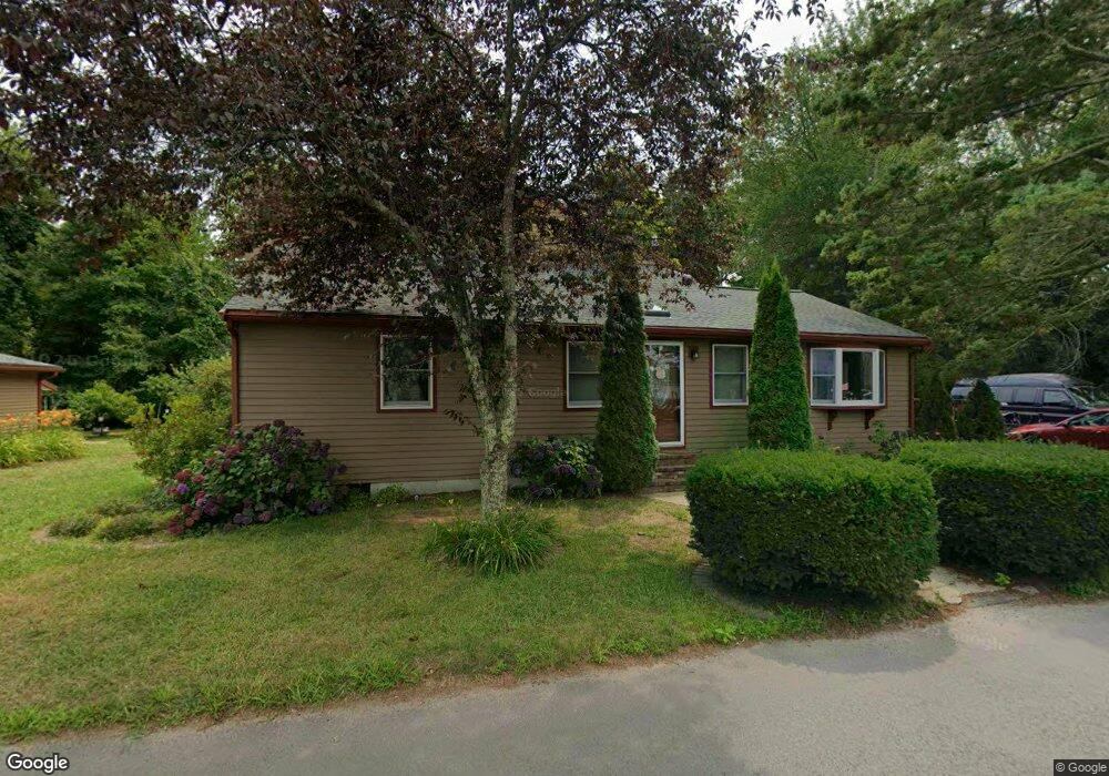
22 King Philip Rd Norton, MA 02766
Estimated Value: $537,000 - $737,000
2
Beds
1
Bath
1,344
Sq Ft
$480/Sq Ft
Est. Value
About This Home
This home is located at 22 King Philip Rd, Norton, MA 02766 and is currently estimated at $644,950, approximately $479 per square foot. 22 King Philip Rd is a home located in Bristol County with nearby schools including L.G. Nourse Elementary School, Henri A. Yelle Elementary School, and Norton Middle School.
Ownership History
Date
Name
Owned For
Owner Type
Purchase Details
Closed on
Jul 30, 2014
Sold by
Dunn Richard E
Bought by
Cummings John P and Cummings Maricel B
Current Estimated Value
Home Financials for this Owner
Home Financials are based on the most recent Mortgage that was taken out on this home.
Original Mortgage
$322,819
Outstanding Balance
$247,430
Interest Rate
4.25%
Mortgage Type
FHA
Estimated Equity
$397,520
Create a Home Valuation Report for This Property
The Home Valuation Report is an in-depth analysis detailing your home's value as well as a comparison with similar homes in the area
Home Values in the Area
Average Home Value in this Area
Purchase History
| Date | Buyer | Sale Price | Title Company |
|---|---|---|---|
| Cummings John P | $250,000 | -- |
Source: Public Records
Mortgage History
| Date | Status | Borrower | Loan Amount |
|---|---|---|---|
| Open | Cummings John P | $322,819 |
Source: Public Records
Tax History
| Year | Tax Paid | Tax Assessment Tax Assessment Total Assessment is a certain percentage of the fair market value that is determined by local assessors to be the total taxable value of land and additions on the property. | Land | Improvement |
|---|---|---|---|---|
| 2025 | $72 | $552,700 | $163,700 | $389,000 |
| 2024 | $6,819 | $526,600 | $155,900 | $370,700 |
| 2023 | $6,453 | $496,800 | $147,000 | $349,800 |
| 2022 | $6,270 | $439,700 | $133,700 | $306,000 |
| 2021 | $6,096 | $408,300 | $141,500 | $266,800 |
| 2020 | $5,868 | $396,500 | $137,300 | $259,200 |
| 2019 | $5,775 | $387,600 | $132,100 | $255,500 |
| 2018 | $5,611 | $370,100 | $132,100 | $238,000 |
| 2017 | $5,467 | $355,700 | $132,100 | $223,600 |
| 2016 | $5,348 | $342,600 | $132,100 | $210,500 |
| 2015 | $5,171 | $336,000 | $129,500 | $206,500 |
| 2014 | $4,566 | $297,100 | $98,700 | $198,400 |
Source: Public Records
Map
Nearby Homes
- 30 Samoset St
- 103 King Philip Rd
- 3 Patlena Dr
- 9 Winnecunnet Dr Unit 9
- 4 Stanley Rd
- Lot 3B Hill St
- 17 Lloyd Cir Unit 36
- 24 Lloyd Cir Unit 34
- 16 Lloyd Cir Unit 30
- O Leonard St
- 170 Lake Ridge Dr
- 13 Lloyd Cir Unit 38
- 11 Lloyd Cir Unit 39
- 81 Alcott Cir Unit T5
- 38 Alcott Cir Unit N4
- 849 Crane Ave S
- 11 Settlers Rd
- 152 Pine St Unit 23
- 9 Valley Forge Rd
- 126 Pine St Unit 1
- 21 King Philip Rd
- 23 King Philip Rd
- 19 King Philip Rd
- 25 King Philip Rd
- 15 King Philip Rd
- 17 King Philip Rd
- 27 King Philip Rd
- 29 King Philip Rd
- 29 King Philip Rd Unit 29
- 13 King Philip Rd
- 31 King Philip Rd
- 14 Samoset St
- 20 Samoset St
- 33 King Philip Rd
- 9 King Philip Rd
- 22 Samoset St
- 6 Samoset St
- 34 King Philip Rd
- 2330 Bay St
- 2368 Bay St
Your Personal Tour Guide
Ask me questions while you tour the home.