22 Korinthian Way Andover, MA 01810
Estimated Value: $908,000 - $1,006,000
4
Beds
3
Baths
2,000
Sq Ft
$485/Sq Ft
Est. Value
About This Home
This home is located at 22 Korinthian Way, Andover, MA 01810 and is currently estimated at $970,163, approximately $485 per square foot. 22 Korinthian Way is a home located in Essex County with nearby schools including Franklin Elementary School, North Andover Middle School, and North Andover High School.
Ownership History
Date
Name
Owned For
Owner Type
Purchase Details
Closed on
Sep 11, 2012
Sold by
Vaill Peter L and Vaill Emily P
Bought by
Vaill Peter L and Vaill Emily P
Current Estimated Value
Home Financials for this Owner
Home Financials are based on the most recent Mortgage that was taken out on this home.
Original Mortgage
$399,500
Outstanding Balance
$275,785
Interest Rate
3.52%
Mortgage Type
New Conventional
Estimated Equity
$694,378
Purchase Details
Closed on
Feb 12, 2007
Sold by
Vaill Peter L
Bought by
Vaill Peter L and Vail Emily Powers
Purchase Details
Closed on
Aug 17, 2005
Sold by
Fleming Margaret A
Bought by
Vaill Peter L
Home Financials for this Owner
Home Financials are based on the most recent Mortgage that was taken out on this home.
Original Mortgage
$420,000
Interest Rate
5.66%
Mortgage Type
Purchase Money Mortgage
Create a Home Valuation Report for This Property
The Home Valuation Report is an in-depth analysis detailing your home's value as well as a comparison with similar homes in the area
Home Values in the Area
Average Home Value in this Area
Purchase History
| Date | Buyer | Sale Price | Title Company |
|---|---|---|---|
| Vaill Peter L | -- | -- | |
| Vaill Peter L | -- | -- | |
| Vaill Peter L | $589,900 | -- |
Source: Public Records
Mortgage History
| Date | Status | Borrower | Loan Amount |
|---|---|---|---|
| Open | Vaill Peter L | $399,500 | |
| Previous Owner | Vaill Peter L | $420,000 |
Source: Public Records
Tax History Compared to Growth
Tax History
| Year | Tax Paid | Tax Assessment Tax Assessment Total Assessment is a certain percentage of the fair market value that is determined by local assessors to be the total taxable value of land and additions on the property. | Land | Improvement |
|---|---|---|---|---|
| 2024 | $10,697 | $830,500 | $508,400 | $322,100 |
| 2023 | $10,255 | $750,700 | $457,900 | $292,800 |
| 2022 | $9,746 | $667,500 | $398,200 | $269,300 |
| 2021 | $9,348 | $611,400 | $362,000 | $249,400 |
| 2020 | $8,995 | $599,300 | $353,300 | $246,000 |
| 2019 | $8,921 | $584,200 | $342,900 | $241,300 |
| 2018 | $8,654 | $553,300 | $329,800 | $223,500 |
| 2017 | $8,297 | $546,600 | $323,300 | $223,300 |
| 2016 | $8,127 | $548,400 | $323,300 | $225,100 |
| 2015 | $7,738 | $516,900 | $310,600 | $206,300 |
Source: Public Records
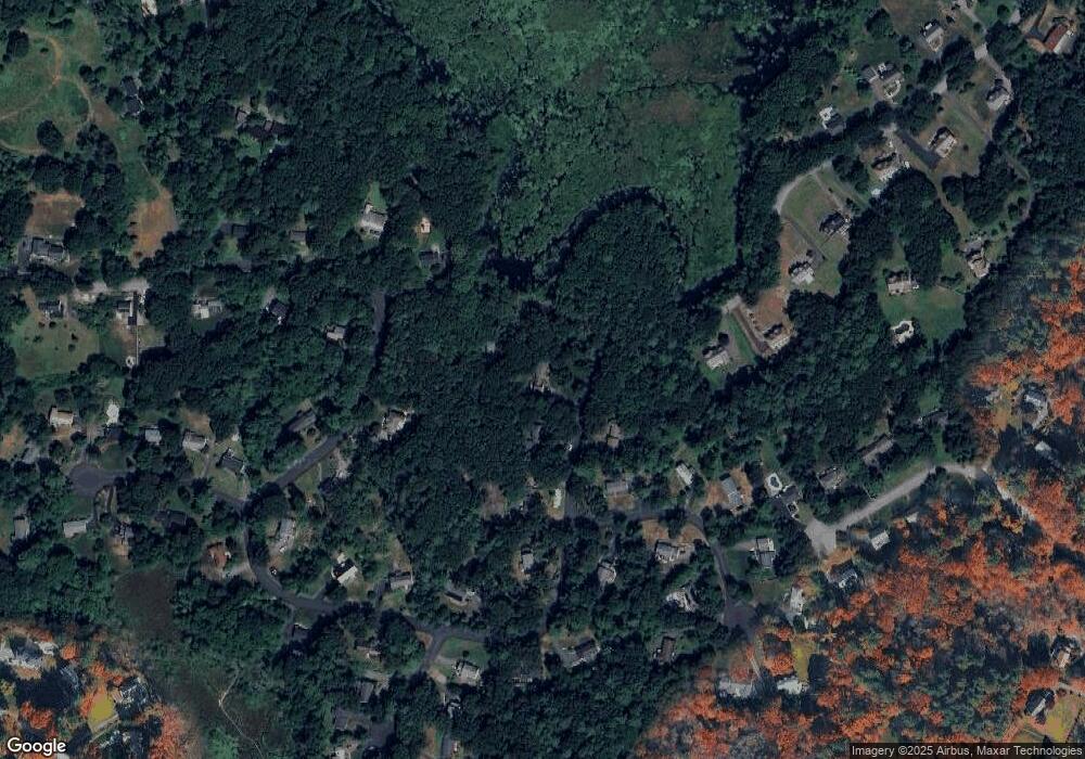
Map
Nearby Homes
- 8 Athena Cir
- 2 Tamys Ln
- 7 Sullivan St
- 133B Salem
- 104 Salem St
- 331 S Main St
- 17 Linda Rd
- 50 Hidden Rd
- 53 Salem St
- 10 Woodchuck Ln
- 18 Boston Rd
- 12 Farnum St
- 40 Ballardvale Rd
- 11 Gould Rd
- 56 Sunset Rock Rd
- 4 Hammond Way
- 3 Harvest Dr Unit 106
- 2 Harvest Dr Unit 301
- 3 Harvest Dr Unit 303
- 3 Harvest Dr Unit 107