22 Kristie Ln Strafford, NH 03884
Estimated Value: $449,039 - $567,000
3
Beds
2
Baths
1,472
Sq Ft
$346/Sq Ft
Est. Value
About This Home
This home is located at 22 Kristie Ln, Strafford, NH 03884 and is currently estimated at $509,760, approximately $346 per square foot. 22 Kristie Ln is a home located in Strafford County with nearby schools including Strafford School and Coe-Brown Northwood Academy.
Ownership History
Date
Name
Owned For
Owner Type
Purchase Details
Closed on
Jun 17, 2004
Sold by
Kershaw Stephen
Bought by
Flanders Timothy P and Flanders Tara
Current Estimated Value
Home Financials for this Owner
Home Financials are based on the most recent Mortgage that was taken out on this home.
Original Mortgage
$132,900
Interest Rate
6.12%
Mortgage Type
Purchase Money Mortgage
Create a Home Valuation Report for This Property
The Home Valuation Report is an in-depth analysis detailing your home's value as well as a comparison with similar homes in the area
Home Values in the Area
Average Home Value in this Area
Purchase History
| Date | Buyer | Sale Price | Title Company |
|---|---|---|---|
| Flanders Timothy P | $232,900 | -- |
Source: Public Records
Mortgage History
| Date | Status | Borrower | Loan Amount |
|---|---|---|---|
| Open | Flanders Timothy P | $146,500 | |
| Closed | Flanders Timothy P | $132,900 |
Source: Public Records
Tax History Compared to Growth
Tax History
| Year | Tax Paid | Tax Assessment Tax Assessment Total Assessment is a certain percentage of the fair market value that is determined by local assessors to be the total taxable value of land and additions on the property. | Land | Improvement |
|---|---|---|---|---|
| 2024 | $5,807 | $293,900 | $74,000 | $219,900 |
| 2023 | $5,478 | $293,900 | $74,000 | $219,900 |
| 2022 | $5,035 | $293,900 | $74,000 | $219,900 |
| 2021 | $5,427 | $294,000 | $74,000 | $220,000 |
| 2020 | $5,256 | $204,900 | $67,500 | $137,400 |
| 2019 | $4,809 | $204,900 | $67,500 | $137,400 |
| 2018 | $5,002 | $211,700 | $67,500 | $144,200 |
| 2016 | $4,499 | $211,700 | $67,500 | $144,200 |
| 2015 | $4,057 | $186,000 | $83,200 | $102,800 |
| 2014 | $4,308 | $186,000 | $83,200 | $102,800 |
| 2013 | $4,218 | $186,000 | $83,200 | $102,800 |
| 2012 | $4,163 | $186,000 | $83,200 | $102,800 |
Source: Public Records
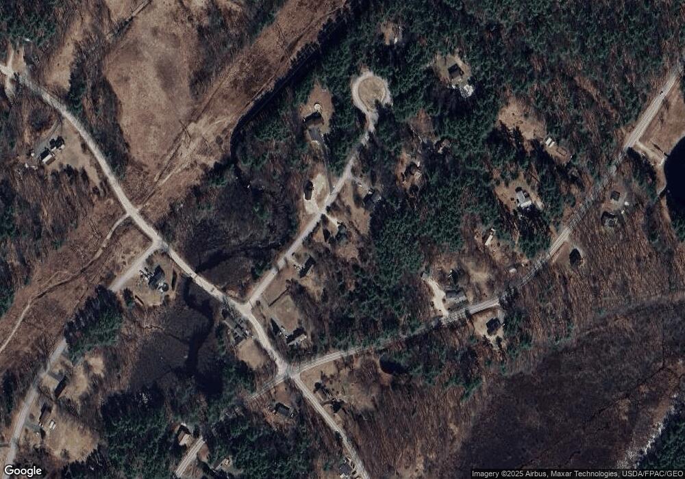
Map
Nearby Homes
- 948 Strafford Rd
- 345 Dry Hill Rd
- 243 Second Crown Point Rd
- 86 Long Shores Dr
- 68 Berry River Rd
- 38 Strafford Rd
- 0 Long Shores Dr Unit 5057687
- 272 Walnut St
- 83 Sloper Rd
- 0 Sloper Rd Unit 6
- 40 Dry Hill Rd Unit Lot 0250/0006/0000
- 10 Blue Hills Dr
- 217-13 Washington St
- 212-0003-01 Washington St
- 207-002 Washington St
- 00 Squire Rd
- Map 220 Lot 16 Four Rod Rd
- 8 Juniper Ln
- 395 Greenhill Rd
- 81 Hansonville Rd
- 28 Kristie Ln
- 14 Kristie Ln
- 6 Kristie Ln
- 36 Kristie Ln
- 25 Kristie Ln
- Map 16 Lot 1 Strafford Rd
- 201-13-1 Strafford Route 202a Rd
- 929 Strafford Rd
- 945 Strafford Rd
- 989 Strafford Rd
- 935 Strafford Rd
- 909 Strafford Rd
- 0 Strafford Rd
- 500 Pond Hill Rd
- 42 Kristie Ln
- 9 1st Crown Point Rd
- 201 Strafford Rd
- 292 Pond Hill Rd
- 00 1st Crown Point Rd
- 0 1st Crown Point Rd