22 Laurel Ln New Boston, NH 03070
New Boston NeighborhoodEstimated Value: $635,000 - $706,000
3
Beds
2
Baths
2,583
Sq Ft
$262/Sq Ft
Est. Value
About This Home
This home is located at 22 Laurel Ln, New Boston, NH 03070 and is currently estimated at $676,085, approximately $261 per square foot. 22 Laurel Ln is a home located in Hillsborough County with nearby schools including New Boston Central School and Goffstown High School.
Ownership History
Date
Name
Owned For
Owner Type
Purchase Details
Closed on
Jun 4, 2015
Sold by
Zimmerman-Lundt Kristi L
Bought by
Zimmerman-Lundt Kristi L and Lundt Lawrence P
Current Estimated Value
Purchase Details
Closed on
Jun 12, 2009
Sold by
Fhlmc
Bought by
Zimmerman Kristi L
Purchase Details
Closed on
Nov 24, 2008
Sold by
Donnelly Steven and Donnelly Fhlmc
Bought by
Fhlmc
Purchase Details
Closed on
May 30, 2006
Sold by
Whitson John M and Whitson Carol L
Bought by
Donnelly Steven and Mendoza-Donnelly Leeann
Purchase Details
Closed on
Sep 11, 1997
Sold by
Atamian Peter H
Bought by
Whitson John M and Whitson Carol L
Create a Home Valuation Report for This Property
The Home Valuation Report is an in-depth analysis detailing your home's value as well as a comparison with similar homes in the area
Home Values in the Area
Average Home Value in this Area
Purchase History
| Date | Buyer | Sale Price | Title Company |
|---|---|---|---|
| Zimmerman-Lundt Kristi L | -- | -- | |
| Zimmerman Kristi L | $215,000 | -- | |
| Fhlmc | $235,800 | -- | |
| Donnelly Steven | $324,900 | -- | |
| Whitson John M | $128,000 | -- |
Source: Public Records
Mortgage History
| Date | Status | Borrower | Loan Amount |
|---|---|---|---|
| Previous Owner | Whitson John M | $25,000 | |
| Previous Owner | Whitson John M | $195,000 |
Source: Public Records
Tax History Compared to Growth
Tax History
| Year | Tax Paid | Tax Assessment Tax Assessment Total Assessment is a certain percentage of the fair market value that is determined by local assessors to be the total taxable value of land and additions on the property. | Land | Improvement |
|---|---|---|---|---|
| 2024 | $11,464 | $481,900 | $160,400 | $321,500 |
| 2023 | $9,807 | $481,900 | $160,400 | $321,500 |
| 2022 | $8,951 | $466,700 | $160,400 | $306,300 |
| 2021 | $8,634 | $466,700 | $160,400 | $306,300 |
| 2020 | $2,666 | $325,500 | $104,400 | $221,100 |
| 2019 | $8,154 | $325,500 | $104,400 | $221,100 |
| 2018 | $2,440 | $325,500 | $104,400 | $221,100 |
| 2017 | $5,260 | $325,500 | $104,400 | $221,100 |
| 2016 | $2,784 | $325,500 | $104,400 | $221,100 |
| 2015 | $7,583 | $283,900 | $93,400 | $190,500 |
| 2014 | $7,225 | $283,900 | $93,400 | $190,500 |
| 2013 | $6,882 | $283,900 | $93,400 | $190,500 |
Source: Public Records
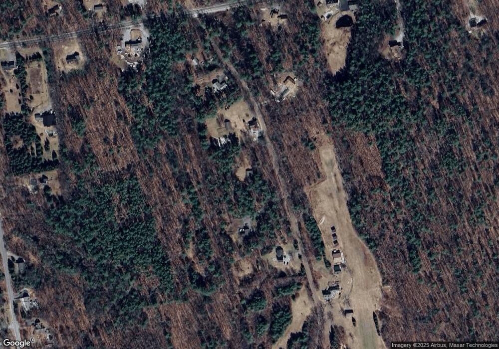
Map
Nearby Homes
- 79 Summit Dr
- 119 Laurel Ln
- 42 Mason Dr
- Lot 33 Sawmill Ln
- Lot 26 Sawmill Ln
- 19 Carriage Rd
- 9 Burnham Dr
- 110 Foxberry Dr
- 150 Foxberry Dr
- 393 Chestnut Hill Rd
- 11 Cedar Dr
- 16 Meetinghouse Hill Rd
- 117 Byam Rd
- 1 Old Coach Rd
- 32-4 Chestnut Hill Rd
- 32-1 Chestnut Hill Rd
- 54 Briar Hill Rd
- 50 Popple Rd
- 100 Chestnut Hill Rd
- 135 Mccollum Rd