22 Lewis Rd Georgetown, ME 04548
Georgetown NeighborhoodEstimated Value: $378,000 - $785,520
--
Bed
--
Bath
--
Sq Ft
0.25
Acres
About This Home
This home is located at 22 Lewis Rd, Georgetown, ME 04548 and is currently estimated at $576,880. 22 Lewis Rd is a home.
Ownership History
Date
Name
Owned For
Owner Type
Purchase Details
Closed on
Mar 14, 2025
Sold by
Start Carol J
Bought by
Start Michael and Start Kristen
Current Estimated Value
Home Financials for this Owner
Home Financials are based on the most recent Mortgage that was taken out on this home.
Original Mortgage
$288,000
Outstanding Balance
$286,549
Interest Rate
6.95%
Mortgage Type
Purchase Money Mortgage
Estimated Equity
$290,331
Create a Home Valuation Report for This Property
The Home Valuation Report is an in-depth analysis detailing your home's value as well as a comparison with similar homes in the area
Home Values in the Area
Average Home Value in this Area
Purchase History
| Date | Buyer | Sale Price | Title Company |
|---|---|---|---|
| Start Michael | $360,000 | None Available | |
| Start Michael | $360,000 | None Available |
Source: Public Records
Mortgage History
| Date | Status | Borrower | Loan Amount |
|---|---|---|---|
| Open | Start Michael | $288,000 | |
| Closed | Start Michael | $288,000 |
Source: Public Records
Tax History Compared to Growth
Tax History
| Year | Tax Paid | Tax Assessment Tax Assessment Total Assessment is a certain percentage of the fair market value that is determined by local assessors to be the total taxable value of land and additions on the property. | Land | Improvement |
|---|---|---|---|---|
| 2024 | $3,905 | $648,600 | $470,000 | $178,600 |
| 2023 | $3,362 | $344,800 | $237,400 | $107,400 |
| 2022 | $3,048 | $344,800 | $237,400 | $107,400 |
| 2021 | $2,845 | $344,800 | $237,400 | $107,400 |
| 2020 | $2,793 | $344,800 | $237,400 | $107,400 |
| 2019 | $2,689 | $344,800 | $237,400 | $107,400 |
| 2018 | $2,655 | $344,800 | $237,400 | $107,400 |
| 2017 | $2,638 | $344,800 | $237,400 | $107,400 |
| 2016 | $2,638 | $344,800 | $237,400 | $107,400 |
| 2015 | $2,545 | $344,800 | $237,400 | $107,400 |
| 2014 | $2,545 | $344,800 | $237,400 | $107,400 |
| 2013 | $2,448 | $344,800 | $237,400 | $107,400 |
Source: Public Records
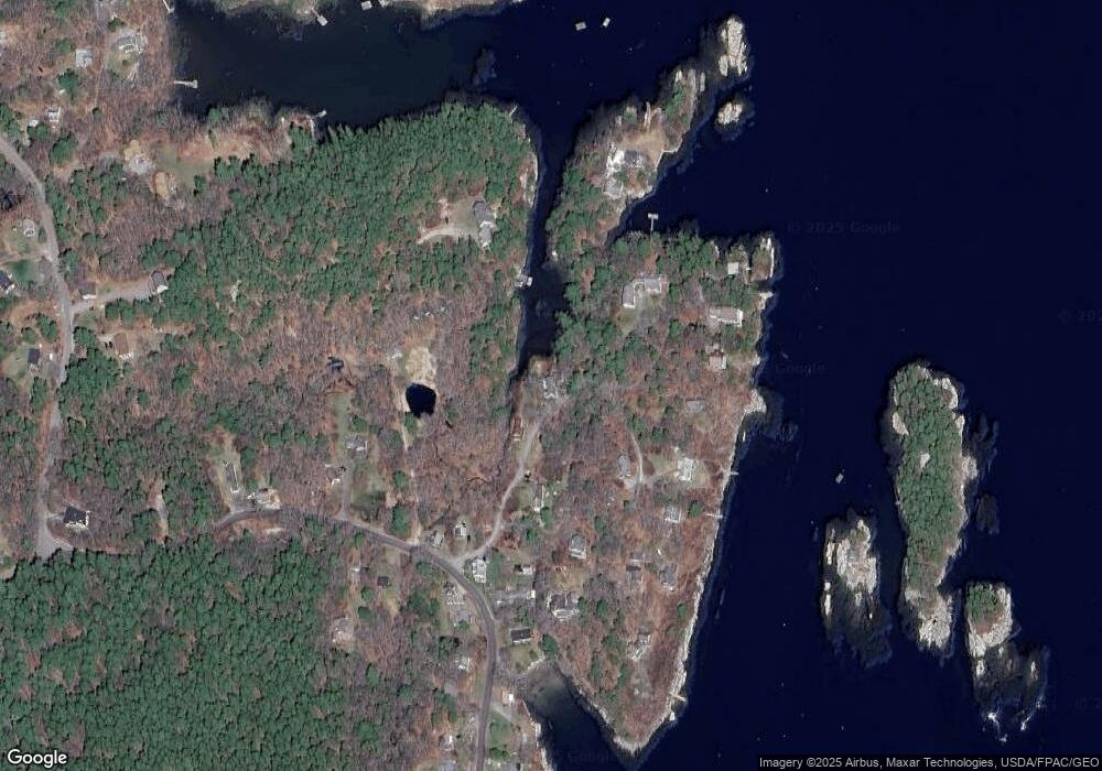
Map
Nearby Homes
- 25 N End Rd
- 15 Blueberry Hill Rd
- 1 Plum Ln Unit D
- 12 Spruce Gum Ln
- 68 Narrows Way
- Lot 17A Snowman Ln
- 461 Hendricks Hill Rd
- 14 Pinkie Ln
- 119 Knubble Bay Rd
- 11 Youngs Rd
- 124 Main Rd
- 129 Five Islands Rd
- Lot 3 Osprey Landing Dr
- Lot 2 Osprey Landing Dr
- 17 Cedar Ln Unit 17
- 3 Cedar Ln Unit 3
- 1 Cedar Ln Unit 1
- 44-4 Windrush Ln
- 1020 Hendricks Hill Rd
- 22 Gray Rd
- Lot 19 Lewis Rd
- 18 Lewis Rd
- Lot 35 Lewis Rd
- Lot 23, 24 Misty Lane & Lot 35 Lewis Rd
- 0 Lewis Rd Unit 389563
- 0 Lewis Rd Unit 1217343
- 0 Lewis Rd Unit 1256117
- 0 Lewis Rd Unit 1298220
- 35 Lewis Rd
- 9 Lewis Rd
- 28 Lewis Rd
- 37 Lewis Rd
- 7 Blue Heron Ln
- 36 Lewis Rd
- 8 Son Rae Ln
- 8 Son Rae Ln
- 8 Son Rae Ln
- 4 Lewis Rd
- 7 Lewis Rd
- 11 Blue Heron Ln