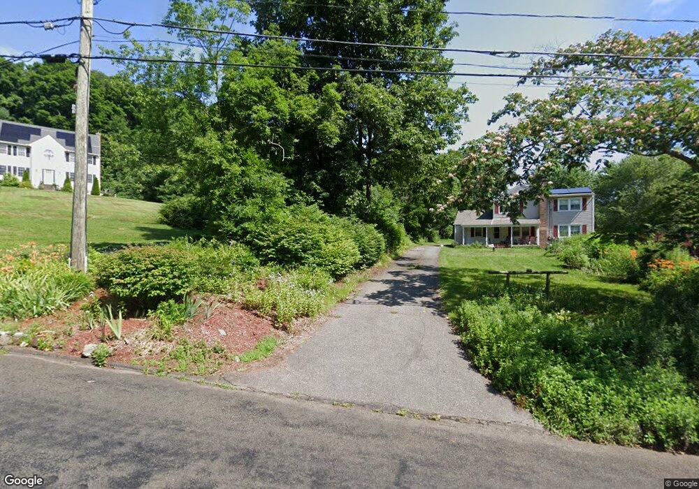
22 Mack Rd Middlefield, CT 06455
Estimated Value: $591,000 - $619,000
3
Beds
3
Baths
2,726
Sq Ft
$222/Sq Ft
Est. Value
About This Home
This home is located at 22 Mack Rd, Middlefield, CT 06455 and is currently estimated at $605,560, approximately $222 per square foot. 22 Mack Rd is a home located in Middlesex County with nearby schools including Frank Ward Strong School, Coginchaug Regional High School, and The Independent Day School.
Ownership History
Date
Name
Owned For
Owner Type
Purchase Details
Closed on
Jun 4, 2001
Sold by
Bldrs Cw
Bought by
Janis Daryl
Current Estimated Value
Home Financials for this Owner
Home Financials are based on the most recent Mortgage that was taken out on this home.
Original Mortgage
$187,500
Interest Rate
7.09%
Create a Home Valuation Report for This Property
The Home Valuation Report is an in-depth analysis detailing your home's value as well as a comparison with similar homes in the area
Home Values in the Area
Average Home Value in this Area
Purchase History
| Date | Buyer | Sale Price | Title Company |
|---|---|---|---|
| Janis Daryl | $325,000 | -- | |
| Cw Bldrs & Dev | $37,500 | -- |
Source: Public Records
Mortgage History
| Date | Status | Borrower | Loan Amount |
|---|---|---|---|
| Open | Cw Bldrs & Dev | $164,000 | |
| Closed | Cw Bldrs & Dev | $187,500 |
Source: Public Records
Tax History
| Year | Tax Paid | Tax Assessment Tax Assessment Total Assessment is a certain percentage of the fair market value that is determined by local assessors to be the total taxable value of land and additions on the property. | Land | Improvement |
|---|---|---|---|---|
| 2025 | $9,235 | $309,900 | $104,400 | $205,500 |
| 2024 | $8,696 | $309,900 | $104,400 | $205,500 |
| 2023 | $8,752 | $309,900 | $104,400 | $205,500 |
| 2022 | $8,541 | $309,900 | $104,400 | $205,500 |
| 2021 | $7,650 | $240,400 | $88,800 | $151,600 |
| 2020 | $7,748 | $240,400 | $88,800 | $151,600 |
| 2019 | $7,806 | $240,400 | $88,800 | $151,600 |
| 2018 | $8,291 | $240,400 | $88,800 | $151,600 |
| 2017 | $8,801 | $240,400 | $88,800 | $151,600 |
| 2016 | $8,670 | $264,000 | $88,800 | $175,200 |
| 2015 | $8,889 | $264,000 | $88,800 | $175,200 |
| 2014 | $8,955 | $264,000 | $88,800 | $175,200 |
Source: Public Records
Map
Nearby Homes
- 31 High St Unit Lot 2
- 31 High St Unit Lot 3
- 0 Baileyville Rd
- 5 Race Track Hollow
- 30 Cherry Ridge Rd
- 88 Powder Hill Rd
- (Map 12, Lot 80A) Hubbard St
- 9 Sunset Dr
- 26 Collindale Dr
- 1561 E Main St Unit 13
- 40 Sylvan Ridge
- 672 Laurel Grove Rd
- 109 Red Clover Cir
- 198 Mildred Rd
- 2 Yellow Orange Cir
- 5 Lorraine Terrace
- 797 Long Hill Rd Unit B
- 183 Aston Ln
- 361 Pomeroy Ave
- 1274 E Main St Unit D27
- 26 Mack Rd
- 78 Toad Ridge Rd
- 80 Toad Ridge Rd
- 68 Toad Ridge Rd
- 23 Mack Rd
- 84 Toad Ridge Rd
- 34 Mack Rd
- 64 Toad Ridge Rd
- 19 Mack Rd
- 33 Mack Rd
- 369 Jackson Hill Rd
- 367 Jackson Hill Rd
- 11 Mack Rd
- 377 Jackson Hill Rd
- 73 Toad Ridge Rd
- 0 Toad Ridge Rd Unit N325381
- 62 Toad Ridge Rd
- 361 Jackson Hill Rd
- 77 Toad Ridge Rd
Your Personal Tour Guide
Ask me questions while you tour the home.