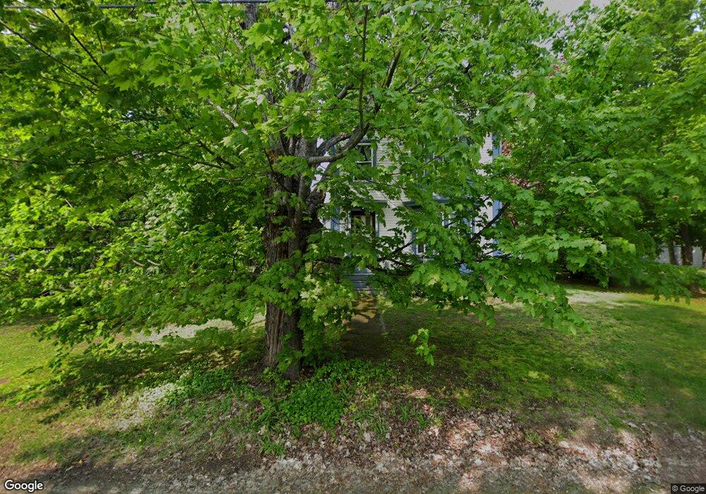
22 Maple Ave Freeport, ME 04032
Estimated Value: $645,000 - $985,000
4
Beds
3
Baths
2,403
Sq Ft
$322/Sq Ft
Est. Value
About This Home
This home is located at 22 Maple Ave, Freeport, ME 04032 and is currently estimated at $774,442, approximately $322 per square foot. 22 Maple Ave is a home located in Cumberland County with nearby schools including Morse Street School, Mast Landing School, and Freeport Middle School.
Create a Home Valuation Report for This Property
The Home Valuation Report is an in-depth analysis detailing your home's value as well as a comparison with similar homes in the area
Home Values in the Area
Average Home Value in this Area
Tax History
| Year | Tax Paid | Tax Assessment Tax Assessment Total Assessment is a certain percentage of the fair market value that is determined by local assessors to be the total taxable value of land and additions on the property. | Land | Improvement |
|---|---|---|---|---|
| 2025 | $6,845 | $494,200 | $174,300 | $319,900 |
| 2024 | $6,487 | $485,900 | $166,000 | $319,900 |
| 2023 | $5,889 | $428,300 | $150,900 | $277,400 |
| 2022 | $5,625 | $412,100 | $134,700 | $277,400 |
| 2021 | $5,502 | $412,100 | $134,700 | $277,400 |
| 2020 | $5,396 | $385,400 | $124,700 | $260,700 |
| 2019 | $5,152 | $360,300 | $117,700 | $242,600 |
| 2018 | $5,048 | $335,400 | $110,900 | $224,500 |
| 2017 | $4,730 | $316,400 | $108,300 | $208,100 |
| 2016 | $4,595 | $290,800 | $97,800 | $193,000 |
| 2015 | $4,355 | $259,200 | $89,300 | $169,900 |
| 2014 | $4,095 | $259,200 | $89,300 | $169,900 |
| 2013 | $4,343 | $274,000 | $89,300 | $184,700 |
Source: Public Records
Map
Nearby Homes
- 212 Main St
- 10 Durham Rd
- 5 Holbrook St
- 42 Durham Rd
- 11 Orchard Hill Rd
- 67 Farmview Ln
- 15 Linwood Rd Unit 15
- 39 Hunter Rd
- 8 Statler Ln
- 1 Wardtown Rd
- 1260 Us Route 1
- 10 Prout Rd
- 26 Harvest Ridge Rd Unit 24
- 15 Tinkers Way
- 20 Harvest Ridge Rd Unit 23
- 143 Bragdon Rd
- 52 Birch Point Rd
- 21 Renee Rd
- 0 Prout Rd
- 4 Harper's Trail
Your Personal Tour Guide
Ask me questions while you tour the home.