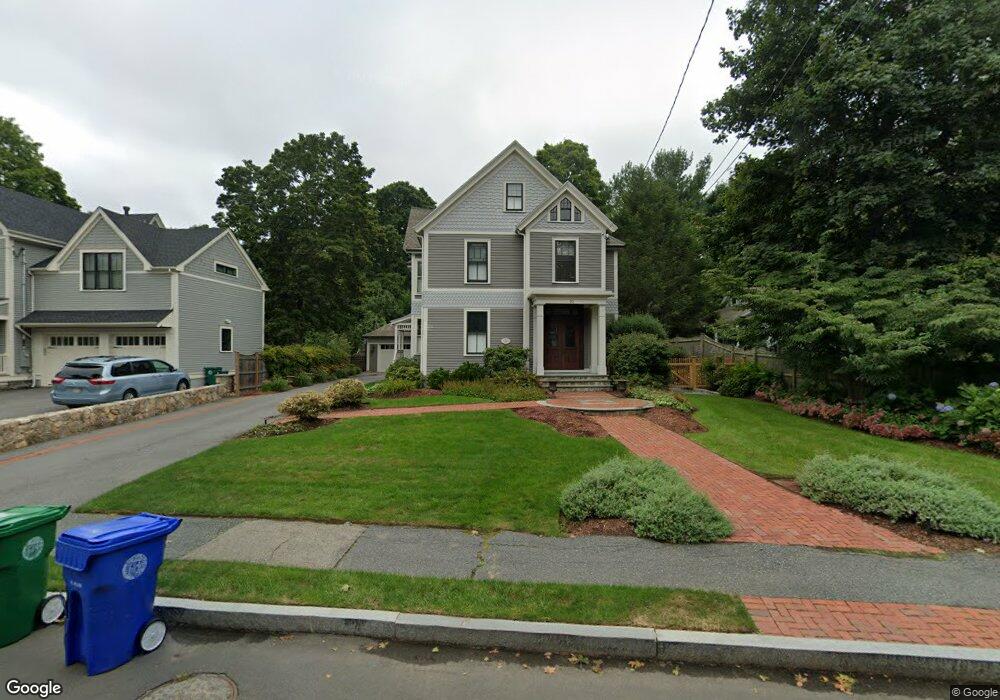
22 Maple St Auburndale, MA 02466
Auburndale NeighborhoodEstimated Value: $1,941,017 - $2,289,000
5
Beds
3
Baths
3,431
Sq Ft
$603/Sq Ft
Est. Value
About This Home
This home is located at 22 Maple St, Auburndale, MA 02466 and is currently estimated at $2,068,004, approximately $602 per square foot. 22 Maple St is a home located in Middlesex County with nearby schools including Williams Elementary School, Charles E Brown Middle School, and Newton South High School.
Ownership History
Date
Name
Owned For
Owner Type
Purchase Details
Closed on
Mar 21, 2005
Sold by
Betsey S Williams Ft
Bought by
Carey Elizabeth A and Carey Jonathan A
Current Estimated Value
Home Financials for this Owner
Home Financials are based on the most recent Mortgage that was taken out on this home.
Original Mortgage
$644,000
Outstanding Balance
$327,140
Interest Rate
5.64%
Mortgage Type
Purchase Money Mortgage
Estimated Equity
$1,740,864
Create a Home Valuation Report for This Property
The Home Valuation Report is an in-depth analysis detailing your home's value as well as a comparison with similar homes in the area
Home Values in the Area
Average Home Value in this Area
Purchase History
| Date | Buyer | Sale Price | Title Company |
|---|---|---|---|
| Carey Elizabeth A | $805,000 | -- |
Source: Public Records
Mortgage History
| Date | Status | Borrower | Loan Amount |
|---|---|---|---|
| Open | Carey Elizabeth A | $644,000 |
Source: Public Records
Tax History Compared to Growth
Tax History
| Year | Tax Paid | Tax Assessment Tax Assessment Total Assessment is a certain percentage of the fair market value that is determined by local assessors to be the total taxable value of land and additions on the property. | Land | Improvement |
|---|---|---|---|---|
| 2025 | $14,805 | $1,510,700 | $1,006,700 | $504,000 |
| 2024 | $14,315 | $1,466,700 | $977,400 | $489,300 |
| 2023 | $13,580 | $1,334,000 | $755,200 | $578,800 |
| 2022 | $12,994 | $1,235,200 | $699,300 | $535,900 |
| 2021 | $12,539 | $1,165,300 | $659,700 | $505,600 |
| 2020 | $12,166 | $1,165,300 | $659,700 | $505,600 |
| 2019 | $11,823 | $1,131,400 | $640,500 | $490,900 |
| 2018 | $11,688 | $1,080,200 | $579,600 | $500,600 |
| 2017 | $11,332 | $1,019,100 | $546,800 | $472,300 |
| 2016 | $10,838 | $952,400 | $511,000 | $441,400 |
| 2015 | $10,334 | $890,100 | $477,600 | $412,500 |
Source: Public Records
Map
Nearby Homes
- 224 Auburn St Unit 224
- 224 Auburn St Unit A
- 226 Auburn St Unit 226
- 13 Weir St
- 62-64 Rowe St Unit B
- 283 Melrose St
- 51 Bourne St
- 17 Gilbert St
- 1639 Washington St
- 17 Lasell St
- 283 Woodland Rd
- 17 Crescent St
- 10 Crescent St Unit 1
- 10 Crescent St Unit 2
- 0 Duncan Rd Unit 72925240
- 1754 Washington St
- 2202 Commonwealth Ave Unit 2
- 2202 Commonwealth Ave Unit 1
- 160 Pine St Unit 12
- 27 Oakwood Rd
- 12 Maple St
- 26 Maple St
- 49 Central St
- 8 Maple St Unit 2
- 8 Maple St Unit 1
- 43 Central St
- 186 Auburn St
- 25 Maple St Unit 1
- 61 Central St
- 17 Maple St Unit 19
- 17 Maple St Unit 17
- 17 Maple St Unit 2
- 17-19 Maple St Unit 1
- 17-19 Maple St Unit 2
- 23 Maple St
- 23 Maple St
- 9 Maple St Unit 11
- 9 Maple St Unit 9
- 4 Maple St
- 19 Maple St Unit 19