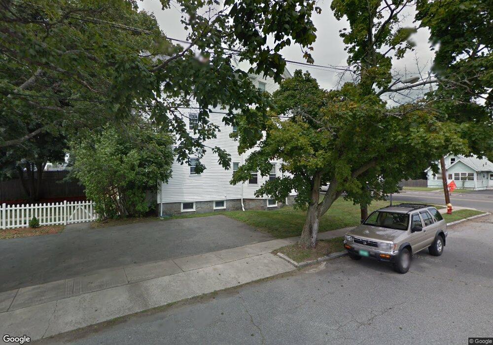
22 Margin St Unit C Peabody, MA 01960
Peabody Town Center NeighborhoodEstimated Value: $380,000 - $419,379
2
Beds
1
Bath
1,050
Sq Ft
$387/Sq Ft
Est. Value
About This Home
This home is located at 22 Margin St Unit C, Peabody, MA 01960 and is currently estimated at $405,845, approximately $386 per square foot. 22 Margin St Unit C is a home located in Essex County with nearby schools including Peabody Veterans Memorial High School, St John The Baptist School, and The Phoenix School.
Ownership History
Date
Name
Owned For
Owner Type
Purchase Details
Closed on
Apr 23, 2020
Sold by
Deming Jacqueline
Bought by
Vaccaro Cynthia A
Current Estimated Value
Purchase Details
Closed on
Dec 17, 2007
Sold by
Orourke Ian and Orourke Kimberly
Bought by
Deming Jacqueline
Home Financials for this Owner
Home Financials are based on the most recent Mortgage that was taken out on this home.
Original Mortgage
$194,000
Interest Rate
6.3%
Mortgage Type
Purchase Money Mortgage
Create a Home Valuation Report for This Property
The Home Valuation Report is an in-depth analysis detailing your home's value as well as a comparison with similar homes in the area
Home Values in the Area
Average Home Value in this Area
Purchase History
| Date | Buyer | Sale Price | Title Company |
|---|---|---|---|
| Vaccaro Cynthia A | $311,598 | None Available | |
| Deming Jacqueline | $227,000 | -- |
Source: Public Records
Mortgage History
| Date | Status | Borrower | Loan Amount |
|---|---|---|---|
| Previous Owner | Deming Jacqueline | $181,600 | |
| Previous Owner | Deming Jacqueline | $194,000 |
Source: Public Records
Tax History Compared to Growth
Tax History
| Year | Tax Paid | Tax Assessment Tax Assessment Total Assessment is a certain percentage of the fair market value that is determined by local assessors to be the total taxable value of land and additions on the property. | Land | Improvement |
|---|---|---|---|---|
| 2025 | $3,498 | $377,700 | $0 | $377,700 |
| 2024 | $3,352 | $367,500 | $0 | $367,500 |
| 2023 | $3,021 | $317,300 | $0 | $317,300 |
| 2022 | $3,020 | $299,000 | $0 | $299,000 |
| 2021 | $3,009 | $286,800 | $0 | $286,800 |
| 2020 | $2,753 | $256,300 | $0 | $256,300 |
| 2019 | $2,688 | $244,100 | $0 | $244,100 |
| 2018 | $2,727 | $238,000 | $0 | $238,000 |
| 2017 | $2,727 | $231,900 | $0 | $231,900 |
| 2016 | $2,619 | $219,700 | $0 | $219,700 |
| 2015 | $2,402 | $195,300 | $0 | $195,300 |
Source: Public Records
Map
Nearby Homes
- 14 Margin St
- 8 Newcastle Rd
- 19 Cushing St
- 25 Northend St
- 4 Northend St
- 36 Irving St Unit B
- 27 Appleton St
- 26 Elm St
- 27 Pulaski St
- 55 Pulaski St
- 46 Walnut St
- 4 Elm St Unit 3
- 8 Walnut St Unit 209
- 29R Upham St
- 29R Upham St Unit 29R
- 11 A Endicott St Unit 3
- 145 Boston St
- 128 Boston St Unit 4
- 5 Larchmont Rd Unit 3
- 41 Dearborn St
- 22 Margin St Unit B
- 22 Margin St Unit A
- 22 Margin St Unit 2
- 22 Margin St Unit 1
- 22 Margin St Unit 3
- 24 Margin St
- 26 Margin St
- 18 Margin St
- 2 Kirkland Rd
- 19 Margin St
- 4 Kirkland Rd
- 17 Margin St
- 23 Margin St
- 1 Sheldon Rd
- 6 Sheldon Rd
- 16 Margin St
- 25 Margin St
- 6 Kirkland Rd
- 30 & 70 Margin St
- 8 Sheldon Rd