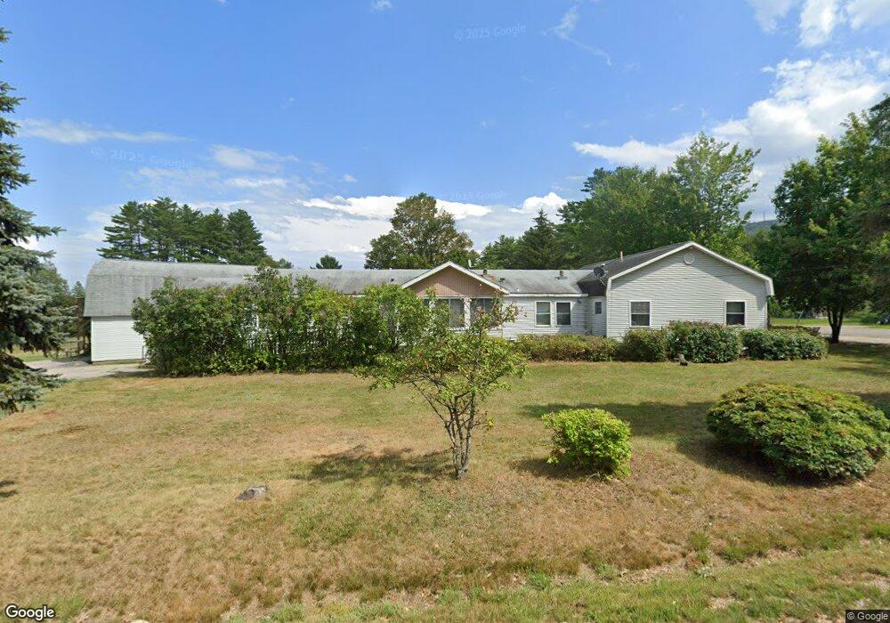
22 May's Way Tamworth, NH 03890
Estimated Value: $966,940
6
Beds
3
Baths
4,377
Sq Ft
$221/Sq Ft
Est. Value
About This Home
This home is located at 22 May's Way, Tamworth, NH 03890 and is currently estimated at $966,940, approximately $220 per square foot. 22 May's Way is a home located in Carroll County with nearby schools including Kenneth A. Brett School and Bear Camp Valley School.
Ownership History
Date
Name
Owned For
Owner Type
Purchase Details
Closed on
Jun 30, 2016
Sold by
Community Living For E
Bought by
22 May Way Llc
Current Estimated Value
Purchase Details
Closed on
Jan 11, 2008
Sold by
Geary Paul F
Bought by
Community Living Elder
Home Financials for this Owner
Home Financials are based on the most recent Mortgage that was taken out on this home.
Original Mortgage
$633,000
Interest Rate
6.21%
Mortgage Type
Commercial
Create a Home Valuation Report for This Property
The Home Valuation Report is an in-depth analysis detailing your home's value as well as a comparison with similar homes in the area
Home Values in the Area
Average Home Value in this Area
Purchase History
| Date | Buyer | Sale Price | Title Company |
|---|---|---|---|
| 22 May Way Llc | $438,000 | -- | |
| Community Living Elder | $425,000 | -- |
Source: Public Records
Mortgage History
| Date | Status | Borrower | Loan Amount |
|---|---|---|---|
| Previous Owner | Community Living Elder | $633,000 |
Source: Public Records
Tax History Compared to Growth
Tax History
| Year | Tax Paid | Tax Assessment Tax Assessment Total Assessment is a certain percentage of the fair market value that is determined by local assessors to be the total taxable value of land and additions on the property. | Land | Improvement |
|---|---|---|---|---|
| 2024 | $10,501 | $727,700 | $185,000 | $542,700 |
| 2023 | $12,249 | $485,500 | $121,900 | $363,600 |
| 2022 | $11,540 | $485,500 | $121,900 | $363,600 |
| 2021 | $10,753 | $485,700 | $121,900 | $363,800 |
| 2020 | $10,919 | $485,700 | $121,900 | $363,800 |
| 2019 | $10,462 | $485,700 | $121,900 | $363,800 |
| 2018 | $8,991 | $389,900 | $31,600 | $358,300 |
| 2017 | $8,851 | $389,900 | $31,600 | $358,300 |
| 2016 | $8,944 | $389,900 | $31,600 | $358,300 |
| 2015 | $8,909 | $389,900 | $31,600 | $358,300 |
| 2013 | $8,134 | $406,700 | $36,400 | $370,300 |
Source: Public Records
Map
Nearby Homes
- Map 206 Lot 28 Whittier Rd
- 1785 White Mountain Hwy
- 0 Poco Dr Unit 5067927
- 51 Poco Dr
- 10 Margo Ln
- 255 Summit View Dr
- 23 Summit View Dr
- Lot 18.1 White Mountain Hwy
- 24 Flynn Ln
- 78 Berry Ln
- 17 Amidon Ln
- 190 Whittier Rd
- 80 Elliot Ln
- 1118 Turkey St
- 20 Pine Lane Rd
- 96 Bryant Mill Rd
- 137 Durrell Rd
- 4 Whittier Rd
- 527 Tamworth Rd
- 34 Old Mill Rd
- 1197 Whittier Rd
- 10 May's Way Unit 4
- 1174 Whittier Rd
- 1192 Whittier Rd
- 15 May's Way
- 15 Mays Way
- 39 May's Way
- 1160 Whittier Rd
- 66 May's Way
- 1140 Whittier Rd
- 71 May's Way
- 1140 Whittier Rd
- 74 May's Way
- 1124 Whittier Rd
- 100 Ossipee Mountain Hwy
- 1117 Whittier Rd
- 84 Gilman Valley Rd
- 1066 Whittier Rd
- 118 Gilman Valley Rd
- 136 Gilman Valley Rd