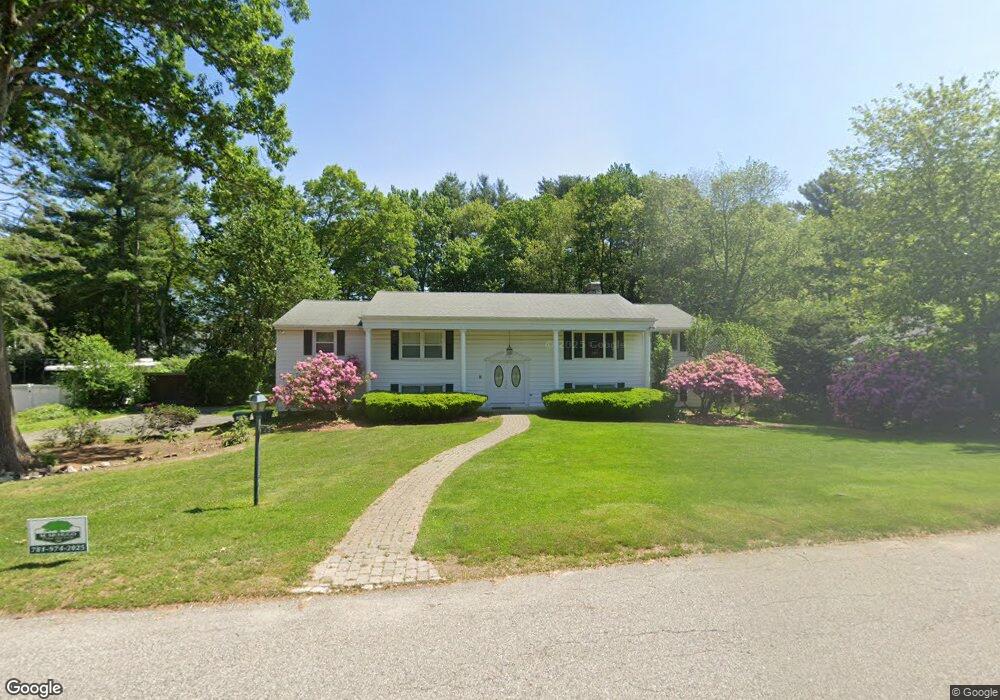
22 Mohawk Rd Canton, MA 02021
Estimated Value: $1,039,564 - $1,321,000
3
Beds
3
Baths
3,085
Sq Ft
$388/Sq Ft
Est. Value
About This Home
This home is located at 22 Mohawk Rd, Canton, MA 02021 and is currently estimated at $1,197,141, approximately $388 per square foot. 22 Mohawk Rd is a home located in Norfolk County with nearby schools including Canton High School, St. John the Evangelist School, and Beacon Scholastic Academy.
Ownership History
Date
Name
Owned For
Owner Type
Purchase Details
Closed on
Nov 28, 1997
Sold by
Psarros John T and Psarros Athena
Bought by
Galinsky Leonard and Galinsky Robin
Current Estimated Value
Create a Home Valuation Report for This Property
The Home Valuation Report is an in-depth analysis detailing your home's value as well as a comparison with similar homes in the area
Home Values in the Area
Average Home Value in this Area
Purchase History
| Date | Buyer | Sale Price | Title Company |
|---|---|---|---|
| Galinsky Leonard | $332,000 | -- |
Source: Public Records
Mortgage History
| Date | Status | Borrower | Loan Amount |
|---|---|---|---|
| Open | Galinsky Leonard | $100,000 | |
| Open | Galinsky Leonard | $214,600 | |
| Closed | Galinsky Leonard | $214,600 |
Source: Public Records
Tax History
| Year | Tax Paid | Tax Assessment Tax Assessment Total Assessment is a certain percentage of the fair market value that is determined by local assessors to be the total taxable value of land and additions on the property. | Land | Improvement |
|---|---|---|---|---|
| 2025 | $8,915 | $901,400 | $372,200 | $529,200 |
| 2024 | $8,724 | $875,000 | $357,900 | $517,100 |
| 2023 | $8,497 | $803,900 | $357,900 | $446,000 |
| 2022 | $8,069 | $710,900 | $340,800 | $370,100 |
| 2021 | $7,854 | $643,800 | $309,800 | $334,000 |
| 2020 | $7,503 | $613,500 | $295,100 | $318,400 |
| 2019 | $7,433 | $599,400 | $268,200 | $331,200 |
| 2018 | $7,353 | $592,000 | $268,600 | $323,400 |
| 2017 | $7,485 | $585,200 | $263,400 | $321,800 |
| 2016 | $7,700 | $602,000 | $287,800 | $314,200 |
| 2015 | $7,513 | $586,000 | $279,500 | $306,500 |
Source: Public Records
Map
Nearby Homes
- 22 Elm St
- 30 Green Lodge St
- 1904 Washington St
- 1 Sassamon St
- 2253 Washington St Unit 2
- 35 Turnpike St
- 1649 Washington St
- 59 Turnpike St
- 26 Wentworth Rd
- 42 Oakdale Rd
- 22 Oakdale Rd
- 2204 Davenport Ave Unit 2204
- 78 Cedarcrest Rd
- 130 University Ave Unit 1405
- 25 Edward St
- 36 Cedarcrest Rd
- 360 Blue Hill Dr
- 350 Blue Hill Dr
- 300 Chapman St
- 33 Kelly Way Unit 33
Your Personal Tour Guide
Ask me questions while you tour the home.