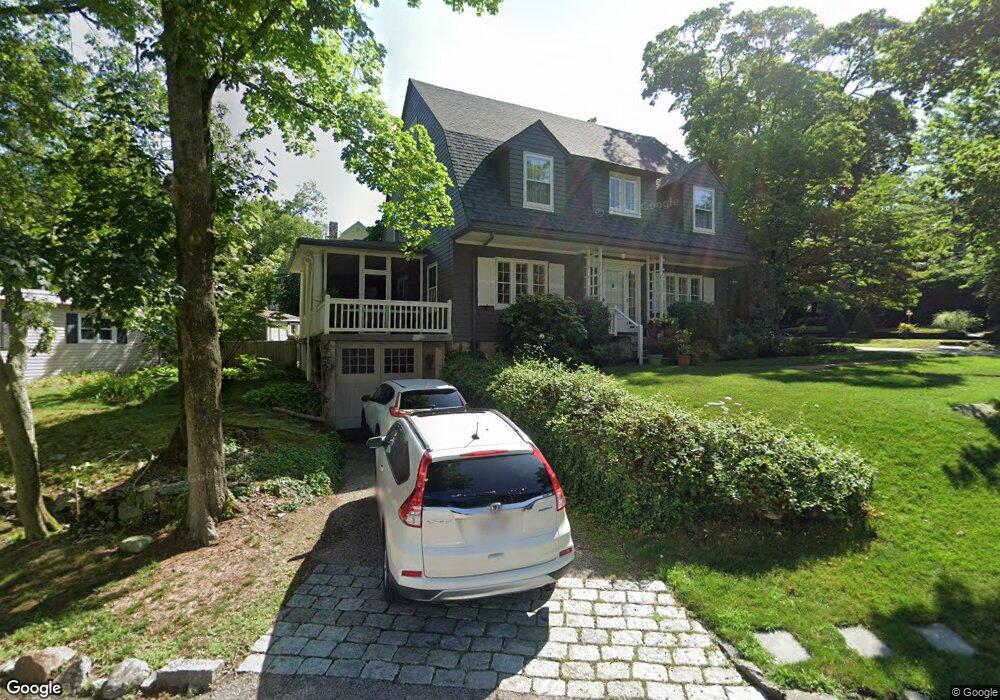
22 Morton Rd Milton, MA 02186
Columbine Cliffs NeighborhoodEstimated Value: $1,160,000 - $2,656,000
3
Beds
3
Baths
2,057
Sq Ft
$791/Sq Ft
Est. Value
About This Home
This home is located at 22 Morton Rd, Milton, MA 02186 and is currently estimated at $1,626,199, approximately $790 per square foot. 22 Morton Rd is a home located in Norfolk County with nearby schools including Milton High School, Conservatory Lab Upper School, and Saint John Paul II Catholic Academy.
Ownership History
Date
Name
Owned For
Owner Type
Purchase Details
Closed on
Dec 29, 2000
Sold by
Dwyer Rt
Bought by
Loria Thomas W
Current Estimated Value
Home Financials for this Owner
Home Financials are based on the most recent Mortgage that was taken out on this home.
Original Mortgage
$304,000
Interest Rate
7.7%
Mortgage Type
Purchase Money Mortgage
Create a Home Valuation Report for This Property
The Home Valuation Report is an in-depth analysis detailing your home's value as well as a comparison with similar homes in the area
Home Values in the Area
Average Home Value in this Area
Purchase History
| Date | Buyer | Sale Price | Title Company |
|---|---|---|---|
| Loria Thomas W | $380,000 | -- |
Source: Public Records
Mortgage History
| Date | Status | Borrower | Loan Amount |
|---|---|---|---|
| Open | Loria Thomas W | $254,000 | |
| Closed | Loria Thomas W | $275,000 | |
| Closed | Loria Thomas W | $304,000 |
Source: Public Records
Tax History
| Year | Tax Paid | Tax Assessment Tax Assessment Total Assessment is a certain percentage of the fair market value that is determined by local assessors to be the total taxable value of land and additions on the property. | Land | Improvement |
|---|---|---|---|---|
| 2025 | $11,790 | $1,063,100 | $559,800 | $503,300 |
| 2024 | $11,319 | $1,036,500 | $533,200 | $503,300 |
| 2023 | $11,069 | $971,000 | $507,800 | $463,200 |
| 2022 | $10,824 | $868,000 | $507,800 | $360,200 |
| 2021 | $10,251 | $780,700 | $403,500 | $377,200 |
| 2020 | $10,054 | $766,300 | $395,900 | $370,400 |
| 2019 | $9,542 | $724,000 | $384,400 | $339,600 |
| 2018 | $9,766 | $707,200 | $335,900 | $371,300 |
| 2017 | $9,139 | $674,000 | $319,900 | $354,100 |
| 2016 | $8,995 | $666,300 | $319,900 | $346,400 |
| 2015 | $8,880 | $637,000 | $298,600 | $338,400 |
Source: Public Records
Map
Nearby Homes
- 1241-1255 Adams St Unit F213
- 1241-1255 Adams St Unit B302
- 1245 Adams St Unit B503
- 32-32R Temple St
- 88 Wharf St Unit 105
- 67 Idaho St
- 14 Avondale St
- 35 Standard St
- 72 Columbine Rd
- 259 Central Ave
- 260 Canton Ave
- 30 Pleasant Hill Ave Unit 32
- 23 Maryknoll St
- 44 Allen Cir
- 85 Forbes Rd
- 14 Valley Rd
- 2089 Dorchester Ave Unit 1
- 56 Fairmount St Unit 2
- 27-29 Brookvale St
- 988 Morton St
- 20 Morton Rd
- 6 Morton Terrace
- 38 Morton Rd
- 3 Morton Terrace
- 19 Morton Rd
- 35 Morton Rd
- 5 Morton Terrace
- 7 Morton Terrace
- 11 Morton Rd
- 10 Morton Rd
- 8 Morton Terrace
- 41 Morton Rd
- 36 W Side Rd
- 30 Brook Hill Rd
- 7 Morton Rd
- 9 Morton Terrace
- 9 Morton Terrace Unit 1
- 40 W Side Rd
- 10 Morton Terrace
- 45 Morton Rd
Your Personal Tour Guide
Ask me questions while you tour the home.