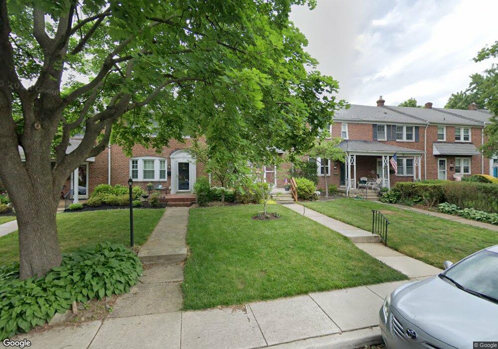
22 Murdock Rd Baltimore, MD 21212
Estimated Value: $374,000 - $445,000
3
Beds
2
Baths
1,200
Sq Ft
$336/Sq Ft
Est. Value
About This Home
This home is located at 22 Murdock Rd, Baltimore, MD 21212 and is currently estimated at $403,148, approximately $335 per square foot. 22 Murdock Rd is a home located in Baltimore County with nearby schools including Rodgers Forge Elementary School, Dumbarton Middle School, and Towson High Law & Public Policy.
Ownership History
Date
Name
Owned For
Owner Type
Purchase Details
Closed on
Apr 29, 2011
Sold by
Beal Michael D
Bought by
Brennan Margaret B and Brennan Catherine M
Current Estimated Value
Home Financials for this Owner
Home Financials are based on the most recent Mortgage that was taken out on this home.
Original Mortgage
$200,000
Outstanding Balance
$138,991
Interest Rate
4.88%
Mortgage Type
New Conventional
Estimated Equity
$264,157
Purchase Details
Closed on
Apr 26, 2011
Sold by
Beal Michael D
Bought by
Brennan Margaret B and Brennan Catherine M
Home Financials for this Owner
Home Financials are based on the most recent Mortgage that was taken out on this home.
Original Mortgage
$200,000
Outstanding Balance
$138,991
Interest Rate
4.88%
Mortgage Type
New Conventional
Estimated Equity
$264,157
Purchase Details
Closed on
Sep 7, 2001
Sold by
Gerling Nancy Lynn
Bought by
Beal Michael D and Beal Kristen L K
Purchase Details
Closed on
Dec 11, 1987
Sold by
Hurst Thomas L
Bought by
Gerling Nancy Lynn
Create a Home Valuation Report for This Property
The Home Valuation Report is an in-depth analysis detailing your home's value as well as a comparison with similar homes in the area
Home Values in the Area
Average Home Value in this Area
Purchase History
| Date | Buyer | Sale Price | Title Company |
|---|---|---|---|
| Brennan Margaret B | $250,000 | -- | |
| Brennan Margaret B | $250,000 | -- | |
| Beal Michael D | $145,000 | -- | |
| Gerling Nancy Lynn | $90,000 | -- |
Source: Public Records
Mortgage History
| Date | Status | Borrower | Loan Amount |
|---|---|---|---|
| Open | Brennan Margaret B | $200,000 | |
| Closed | Brennan Margaret B | $200,000 |
Source: Public Records
Tax History
| Year | Tax Paid | Tax Assessment Tax Assessment Total Assessment is a certain percentage of the fair market value that is determined by local assessors to be the total taxable value of land and additions on the property. | Land | Improvement |
|---|---|---|---|---|
| 2025 | $4,371 | $295,500 | $99,500 | $196,000 |
| 2024 | $4,371 | $284,333 | $0 | $0 |
| 2023 | $2,075 | $273,167 | $0 | $0 |
| 2022 | $4,000 | $262,000 | $99,500 | $162,500 |
| 2021 | $3,472 | $261,467 | $0 | $0 |
| 2020 | $3,163 | $260,933 | $0 | $0 |
| 2019 | $3,156 | $260,400 | $99,500 | $160,900 |
| 2018 | $3,473 | $245,200 | $0 | $0 |
| 2017 | $2,938 | $230,000 | $0 | $0 |
| 2016 | $3,132 | $214,800 | $0 | $0 |
| 2015 | $3,132 | $214,800 | $0 | $0 |
| 2014 | $3,132 | $214,800 | $0 | $0 |
Source: Public Records
Map
Nearby Homes
- 100 Villabrook Way
- 102 Villabrook Way
- 146 Villabrook Way
- 106 Villabrook Way
- 108 Villabrook Way
- 67 Dunkirk Rd
- 112 Villabrook Way
- 86 Dunkirk Rd
- 6447 Blenheim Rd
- 150 Hopkins Rd
- 111 Dunkirk Rd
- 136 Dumbarton Rd
- 146 Dumbarton Rd
- 318 Hopkins Rd
- 415 Schwartz Ave
- 6306 Canter Way
- 6509 Abbey View Way
- 183 Stanmore Rd
- 335 Old Trail Rd
- 5806 N Charles St
Your Personal Tour Guide
Ask me questions while you tour the home.