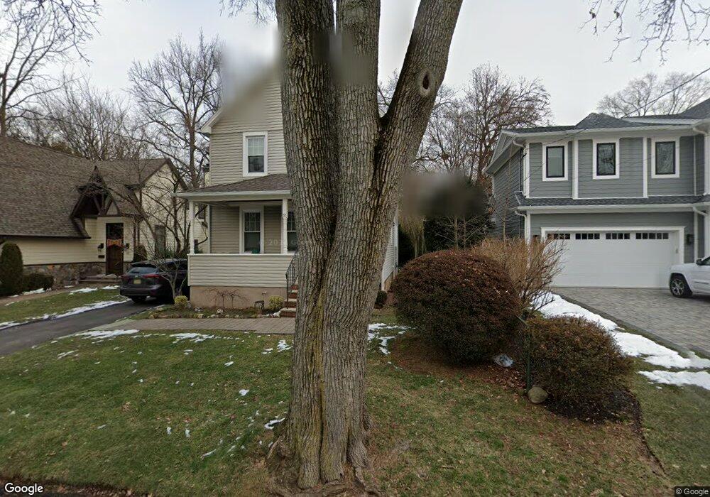
22 N Browning Ave Tenafly, NJ 07670
Estimated Value: $929,013 - $1,145,000
--
Bed
--
Bath
1,988
Sq Ft
$523/Sq Ft
Est. Value
About This Home
This home is located at 22 N Browning Ave, Tenafly, NJ 07670 and is currently estimated at $1,040,253, approximately $523 per square foot. 22 N Browning Ave is a home located in Bergen County with nearby schools including Tenafly Middle School, Tenafly High School, and Lubavitch On The Palisades.
Ownership History
Date
Name
Owned For
Owner Type
Purchase Details
Closed on
Oct 13, 2000
Bought by
May Arthur M
Current Estimated Value
Home Financials for this Owner
Home Financials are based on the most recent Mortgage that was taken out on this home.
Original Mortgage
$25,000
Outstanding Balance
$9,098
Interest Rate
7.89%
Estimated Equity
$1,031,155
Purchase Details
Closed on
Jul 13, 2000
Sold by
Small Madeline
Bought by
May Arthur M and May Robin E
Home Financials for this Owner
Home Financials are based on the most recent Mortgage that was taken out on this home.
Original Mortgage
$130,000
Interest Rate
8.18%
Create a Home Valuation Report for This Property
The Home Valuation Report is an in-depth analysis detailing your home's value as well as a comparison with similar homes in the area
Home Values in the Area
Average Home Value in this Area
Purchase History
| Date | Buyer | Sale Price | Title Company |
|---|---|---|---|
| May Arthur M | -- | -- | |
| May Arthur M | -- | -- | |
| May Arthur M | $216,500 | -- |
Source: Public Records
Mortgage History
| Date | Status | Borrower | Loan Amount |
|---|---|---|---|
| Open | May Arthur M | $25,000 | |
| Closed | May Arthur M | $25,000 | |
| Previous Owner | May Arthur M | $130,000 |
Source: Public Records
Tax History Compared to Growth
Tax History
| Year | Tax Paid | Tax Assessment Tax Assessment Total Assessment is a certain percentage of the fair market value that is determined by local assessors to be the total taxable value of land and additions on the property. | Land | Improvement |
|---|---|---|---|---|
| 2025 | $15,699 | $552,600 | $290,000 | $262,600 |
| 2024 | $15,318 | $552,600 | $290,000 | $262,600 |
| 2023 | $14,948 | $552,600 | $290,000 | $262,600 |
| 2022 | $14,948 | $552,600 | $290,000 | $262,600 |
| 2021 | $14,683 | $552,600 | $290,000 | $262,600 |
| 2020 | $14,467 | $552,600 | $290,000 | $262,600 |
| 2019 | $14,213 | $552,600 | $290,000 | $262,600 |
| 2018 | $13,992 | $552,600 | $290,000 | $262,600 |
| 2017 | $13,942 | $552,600 | $290,000 | $262,600 |
| 2016 | $13,666 | $552,600 | $290,000 | $262,600 |
| 2015 | $13,362 | $552,600 | $290,000 | $262,600 |
| 2014 | $13,113 | $552,600 | $290,000 | $262,600 |
Source: Public Records
Map
Nearby Homes
- 302 W Clinton Ave
- 202 Pleasant Ave
- 174 Pleasant Ave
- 248 E Clinton Ave
- 230 Knickerbocker Rd
- 25 Clinton Park Dr
- 17 Wight Place
- 305 E Main St
- 52 Surrey Ln
- 152 W Clinton Ave
- 20 Dojean Ct
- 44 Bogert Place
- 241 E Main St Unit 1D
- 118 Sunset Ln
- 280 Hickory Ave
- 46 Benjamin Rd
- 151 Mackay Dr
- 57 George St
- 58 Country Club Rd
- 50 S 1st St Unit 3A
- 28 N Browning Ave
- 18 N Browning Ave
- 32 N Browning Ave
- 14 N Browning Ave
- 25 N Lyle Ave
- 21 N Lyle Ave
- 25 N Browning Ave
- 15 N Browning Ave
- 15 N Lyle Ave
- 29 N Lyle Ave
- 29 N Browning Ave
- 11 N Browning Ave
- 11 N Browning Ave Unit 1
- 40 N Browning Ave
- 9 N Lyle Ave
- 6 N Browning Ave
- 33 N Browning Ave
- 35 N Lyle Ave
- 7 N Browning Ave
- 3 N Lyle Ave