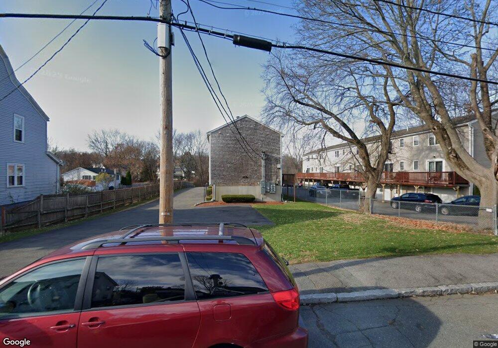
22 N Central St Unit 1 Peabody, MA 01960
Estimated Value: $408,789 - $478,000
2
Beds
2
Baths
1,000
Sq Ft
$436/Sq Ft
Est. Value
About This Home
This home is located at 22 N Central St Unit 1, Peabody, MA 01960 and is currently estimated at $435,947, approximately $435 per square foot. 22 N Central St Unit 1 is a home located in Essex County with nearby schools including Peabody Veterans Memorial High School, St John The Baptist School, and Bishop Fenwick High School.
Ownership History
Date
Name
Owned For
Owner Type
Purchase Details
Closed on
Sep 15, 1995
Sold by
Moran J David and Labonte Stephen
Bought by
Dejadon Cindy and Rohrer Thomas A
Current Estimated Value
Home Financials for this Owner
Home Financials are based on the most recent Mortgage that was taken out on this home.
Original Mortgage
$78,400
Interest Rate
7.81%
Mortgage Type
Purchase Money Mortgage
Create a Home Valuation Report for This Property
The Home Valuation Report is an in-depth analysis detailing your home's value as well as a comparison with similar homes in the area
Home Values in the Area
Average Home Value in this Area
Purchase History
| Date | Buyer | Sale Price | Title Company |
|---|---|---|---|
| Dejadon Cindy | $98,000 | -- |
Source: Public Records
Mortgage History
| Date | Status | Borrower | Loan Amount |
|---|---|---|---|
| Closed | Dejadon Cindy | $78,400 |
Source: Public Records
Tax History Compared to Growth
Tax History
| Year | Tax Paid | Tax Assessment Tax Assessment Total Assessment is a certain percentage of the fair market value that is determined by local assessors to be the total taxable value of land and additions on the property. | Land | Improvement |
|---|---|---|---|---|
| 2025 | $3,388 | $365,900 | $0 | $365,900 |
| 2024 | $3,522 | $386,200 | $0 | $386,200 |
| 2023 | $3,284 | $345,000 | $0 | $345,000 |
| 2022 | $3,017 | $298,700 | $0 | $298,700 |
| 2021 | $2,820 | $268,800 | $0 | $268,800 |
| 2020 | $2,806 | $261,300 | $0 | $261,300 |
| 2019 | $2,713 | $246,400 | $0 | $246,400 |
| 2018 | $2,619 | $228,500 | $0 | $228,500 |
| 2017 | $2,634 | $224,000 | $0 | $224,000 |
| 2016 | $2,457 | $206,100 | $0 | $206,100 |
| 2015 | $2,296 | $186,700 | $0 | $186,700 |
Source: Public Records
Map
Nearby Homes
- 28 Sabino Farm Rd
- 55 Pulaski St
- 26 Colonial Rd
- 8R Elm St Unit 2
- 4 Elm St Unit 3
- 4 Northend St
- 8 Crowninshield St Unit 111
- 158 Lowell St Unit 4
- 130 Lowell St
- 29 Reynolds Rd
- 8 Newcastle Rd
- 26 Elm St
- 25 Northend St
- 21 Emerson St
- 45 Ellsworth Rd
- 48 Franklin St
- 46 Walnut St
- 14 Margin St
- 4R Forest St
- 152 Endicott St
- 22 N Central St Unit 6
- 22 N Central St Unit 5
- 22 N Central St Unit 4
- 22 N Central St Unit 3
- 22 N Central St Unit 2
- 22 N Central St
- 20 N Central St Unit 1-6
- 20 N Central St Unit 6
- 20 N Central St Unit 5
- 20 N Central St Unit 4
- 20 N Central St Unit 3
- 20 N Central St Unit 2
- 20 N Central St Unit 1
- 20 N Central St Unit 20
- 20 N Central St Unit 2413
- 20 N Central St Unit 30
- 20 N Central St Unit 2105
- 20 N Central St Unit 2110
- 20 N Central St Unit 2606
- 20 N Central St Unit 101