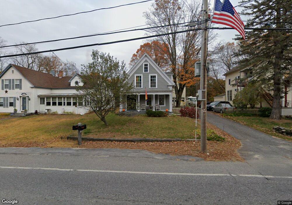
22 N Main St West Boylston, MA 01583
Estimated Value: $470,115 - $593,000
2
Beds
3
Baths
1,724
Sq Ft
$302/Sq Ft
Est. Value
About This Home
This home is located at 22 N Main St, West Boylston, MA 01583 and is currently estimated at $521,279, approximately $302 per square foot. 22 N Main St is a home located in Worcester County with nearby schools including Major Edwards Elementary School and West Boylston Junior/Senior High School.
Ownership History
Date
Name
Owned For
Owner Type
Purchase Details
Closed on
May 31, 1991
Sold by
Obrien Thomas M and Obrien Mary A
Bought by
Peckar Michael A and Peckar Rachel E
Current Estimated Value
Create a Home Valuation Report for This Property
The Home Valuation Report is an in-depth analysis detailing your home's value as well as a comparison with similar homes in the area
Home Values in the Area
Average Home Value in this Area
Purchase History
| Date | Buyer | Sale Price | Title Company |
|---|---|---|---|
| Peckar Michael A | $128,000 | -- |
Source: Public Records
Mortgage History
| Date | Status | Borrower | Loan Amount |
|---|---|---|---|
| Open | Peckar Michael A | $191,200 | |
| Closed | Peckar Michael A | $162,000 | |
| Closed | Peckar Michael A | $75,000 |
Source: Public Records
Tax History Compared to Growth
Tax History
| Year | Tax Paid | Tax Assessment Tax Assessment Total Assessment is a certain percentage of the fair market value that is determined by local assessors to be the total taxable value of land and additions on the property. | Land | Improvement |
|---|---|---|---|---|
| 2025 | $50 | $364,000 | $112,400 | $251,600 |
| 2024 | $5,030 | $340,300 | $112,400 | $227,900 |
| 2023 | $5,280 | $338,900 | $111,100 | $227,800 |
| 2022 | $5,219 | $295,200 | $111,100 | $184,100 |
| 2021 | $4,855 | $263,000 | $105,000 | $158,000 |
| 2020 | $4,619 | $248,600 | $105,000 | $143,600 |
| 2019 | $4,622 | $245,200 | $105,000 | $140,200 |
| 2018 | $4,545 | $242,800 | $105,000 | $137,800 |
| 2017 | $4,521 | $240,500 | $105,000 | $135,500 |
| 2016 | $4,504 | $244,100 | $97,700 | $146,400 |
| 2015 | $4,347 | $237,000 | $96,700 | $140,300 |
Source: Public Records
Map
Nearby Homes
- 16 N Main St
- 20 Winthrop St
- 23 Western Ave
- 136 Sterling St Unit A3
- 287 Laurel St
- 0 Boutelle Rd
- 18 Laurel Ave
- 2 Lakeview Ave
- 156 Prospect St
- 21 Myrtle Ave
- 61 Boutelle Rd
- 0 North St
- 223 Worcester Rd
- Lot 1 Manning St
- 54 Maple St
- 62 Maple St
- 4 Jewett Rd Unit B
- 4 Jewett Rd Unit A
- 39 Davidson Rd
- 15 N Cove Rd
- 24 N Main St
- 18 N Main St
- 23 N Main St
- 14 N Main St
- 0 Laurel St Unit 71338047
- 0 Laurel St Unit 30628939
- 8 High St Unit 8
- 11 N Main St Unit 5
- 11 N Main St Unit 4
- 11 N Main St Unit 3
- 11 N Main St Unit 2
- 11 N Main St Unit 1
- 11 N Main St Unit B
- 11 N Main St
- 12 High St
- 33 N Main St
- 6 Green St
- 6 Laurel St
- 6 Laurel St Unit 3
- 10 Green St