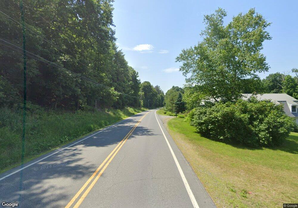
22 Nh Route 12a Cornish, NH 03745
Cornish Colony NeighborhoodEstimated Value: $722,000 - $901,985
3
Beds
3
Baths
4,226
Sq Ft
$186/Sq Ft
Est. Value
About This Home
This home is located at 22 Nh Route 12a, Cornish, NH 03745 and is currently estimated at $785,662, approximately $185 per square foot. 22 Nh Route 12a is a home with nearby schools including Cornish Elementary School, Estabrook Christian School, and Foundations Upper Valley.
Create a Home Valuation Report for This Property
The Home Valuation Report is an in-depth analysis detailing your home's value as well as a comparison with similar homes in the area
Home Values in the Area
Average Home Value in this Area
Tax History Compared to Growth
Tax History
| Year | Tax Paid | Tax Assessment Tax Assessment Total Assessment is a certain percentage of the fair market value that is determined by local assessors to be the total taxable value of land and additions on the property. | Land | Improvement |
|---|---|---|---|---|
| 2024 | $12,125 | $748,905 | $140,505 | $608,400 |
| 2023 | $11,326 | $431,807 | $83,107 | $348,700 |
| 2022 | $10,226 | $432,035 | $83,335 | $348,700 |
| 2021 | $9,816 | $432,244 | $83,544 | $348,700 |
| 2020 | $9,202 | $432,242 | $83,542 | $348,700 |
| 2019 | $8,437 | $432,217 | $83,517 | $348,700 |
| 2018 | $70 | $384,400 | $71,900 | $312,500 |
| 2017 | $8,258 | $383,731 | $71,831 | $311,900 |
| 2016 | $8,211 | $383,697 | $71,797 | $311,900 |
| 2015 | $8,819 | $383,610 | $71,710 | $311,900 |
| 2014 | $8,716 | $383,621 | $92,221 | $291,400 |
| 2013 | $9,121 | $434,938 | $105,238 | $329,700 |
Source: Public Records
Map
Nearby Homes
- 16 Nh Route 12a
- 223 Taylor Dr
- 473 Taylor Dr
- 0 Freeman Rd Unit 22
- 10 Bischoff Ln
- 14 Summarsell Dr Unit 16
- 89 Route 12
- 00 Barber Ln
- 3 MacE Hill Rd
- 68 Jarvis St Unit 70
- 846 New Hampshire 12a
- 56 Mount Hunger Rd
- 3738 Brownsville Hartland Rd
- 282 Skunk Hollow Rd
- 00 Nh Route 12a Unit 7
- 1041 Stage Rd
- 152 Webster Rd
- 00 Tandy Brook Rd Unit 12
- 149 Old County Rd
- 96 Dairy Ln
- 49 Harlakenden Dr
- 13 Nh Route 12a
- 21 Nh Route 12a
- 70 Harlakenden Dr
- 13 Town Line Dr
- 89 Harlakenden Dr
- 54 Nh Route 12a
- 1507 Route 12a
- 25 Town Line Dr
- 41 Ferry Hill Rd
- 1487 New Hampshire 12a
- 1487 Route 12a
- 33 Ferry Hill Rd
- 67 Ferry Hill Rd
- 31 Hildreth Ln
- 1230 River Rd
- 17 Ferry Hill Rd
- 1467 New Hampshire 12a
- 97 Nh Route 12a
- 1491 Route 12a
