Estimated Value: $713,000 - $772,000
3
Beds
2
Baths
2,290
Sq Ft
$319/Sq Ft
Est. Value
About This Home
This home is located at 22 One Stack Dr, Bow, NH 03304 and is currently estimated at $730,709, approximately $319 per square foot. 22 One Stack Dr is a home located in Merrimack County with nearby schools including Bow Elementary School, Bow Memorial School, and Bow High School.
Ownership History
Date
Name
Owned For
Owner Type
Purchase Details
Closed on
Jul 23, 2014
Sold by
Leuchtenberger Cara A
Bought by
Leuchtenberger Michael
Current Estimated Value
Home Financials for this Owner
Home Financials are based on the most recent Mortgage that was taken out on this home.
Original Mortgage
$225,000
Outstanding Balance
$168,993
Interest Rate
4.18%
Mortgage Type
Purchase Money Mortgage
Estimated Equity
$561,716
Purchase Details
Closed on
Jun 29, 2010
Sold by
Morrissey Bourgoine
Bought by
Leuchtenberger Michael and Leuchtenberger Cara A
Home Financials for this Owner
Home Financials are based on the most recent Mortgage that was taken out on this home.
Original Mortgage
$239,600
Interest Rate
4.98%
Mortgage Type
Purchase Money Mortgage
Purchase Details
Closed on
Apr 2, 2003
Sold by
Bell Linda J
Bought by
Bourgoine Peter A
Home Financials for this Owner
Home Financials are based on the most recent Mortgage that was taken out on this home.
Original Mortgage
$160,000
Interest Rate
5.88%
Create a Home Valuation Report for This Property
The Home Valuation Report is an in-depth analysis detailing your home's value as well as a comparison with similar homes in the area
Home Values in the Area
Average Home Value in this Area
Purchase History
| Date | Buyer | Sale Price | Title Company |
|---|---|---|---|
| Leuchtenberger Michael | -- | -- | |
| Leuchtenberger Michael | $299,500 | -- | |
| Bourgoine Peter A | $279,000 | -- |
Source: Public Records
Mortgage History
| Date | Status | Borrower | Loan Amount |
|---|---|---|---|
| Open | Leuchtenberger Michael | $225,000 | |
| Previous Owner | Bourgoine Peter A | $239,600 | |
| Previous Owner | Bourgoine Peter A | $160,000 |
Source: Public Records
Tax History
| Year | Tax Paid | Tax Assessment Tax Assessment Total Assessment is a certain percentage of the fair market value that is determined by local assessors to be the total taxable value of land and additions on the property. | Land | Improvement |
|---|---|---|---|---|
| 2025 | $13,578 | $677,200 | $154,700 | $522,500 |
| 2024 | $13,395 | $677,200 | $154,700 | $522,500 |
| 2023 | $10,242 | $368,300 | $103,300 | $265,000 |
| 2022 | $9,767 | $368,300 | $103,300 | $265,000 |
| 2021 | $8,804 | $345,400 | $103,300 | $242,100 |
| 2020 | $8,835 | $345,400 | $103,300 | $242,100 |
| 2019 | $9,053 | $345,400 | $103,300 | $242,100 |
| 2018 | $8,378 | $301,600 | $94,600 | $207,000 |
| 2017 | $8,503 | $306,200 | $94,600 | $211,600 |
| 2016 | $8,050 | $306,200 | $94,600 | $211,600 |
| 2015 | $7,703 | $269,900 | $94,600 | $175,300 |
| 2014 | $7,965 | $269,900 | $94,600 | $175,300 |
| 2011 | -- | $267,000 | $94,600 | $172,400 |
Source: Public Records
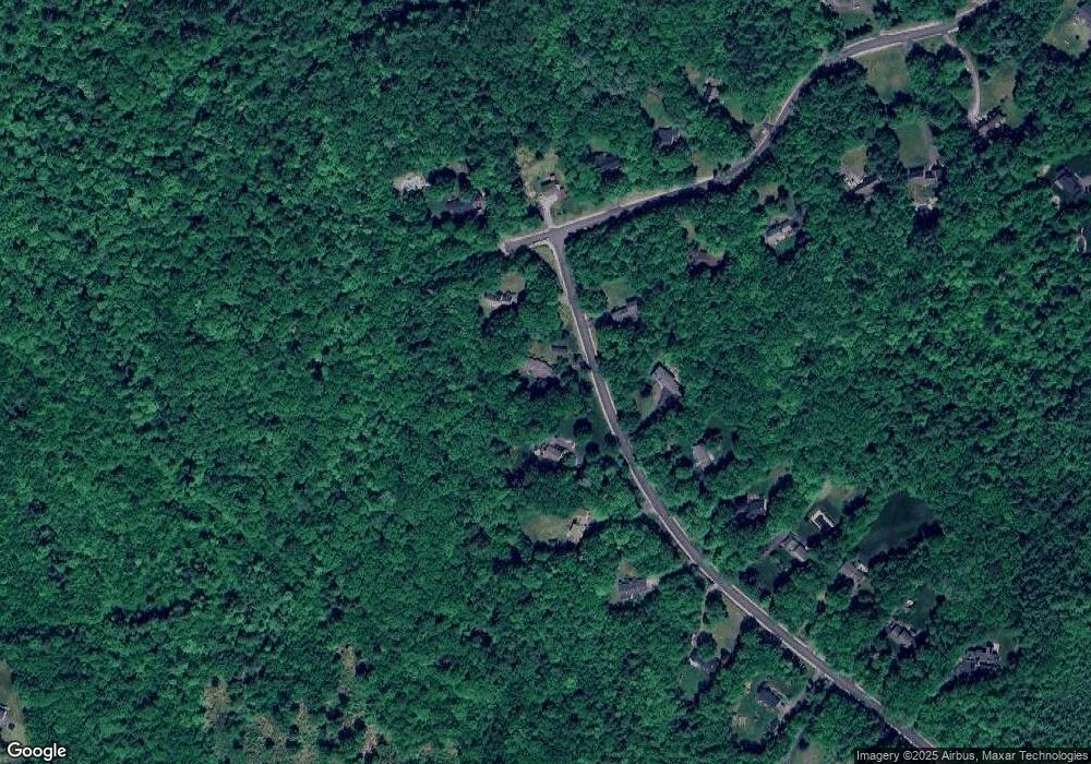
Map
Nearby Homes
- 71 Overlook Dr
- 592 Page Rd
- 4 Cedar Ln
- 120 Hooksett Turnpike
- 21 Hooksett Turnpike
- 8 Longview Dr
- 43 Hampshire Hills Dr
- 244 Page Rd
- 192 Grapevine Rd
- 66 Winslow Rd
- 0 Brown Hill Rd Unit 5032600
- 59 White Rock Hill Rd
- 77 White Rock Hill Rd
- 99 Brown Hill Rd
- 40 Dunbarton Center Rd
- 1003 School St
- 4 Bow Center Rd Unit F2
- 5 Holly Cir
- 5 Windchime Dr
- 6 Reserve Place
Your Personal Tour Guide
Ask me questions while you tour the home.