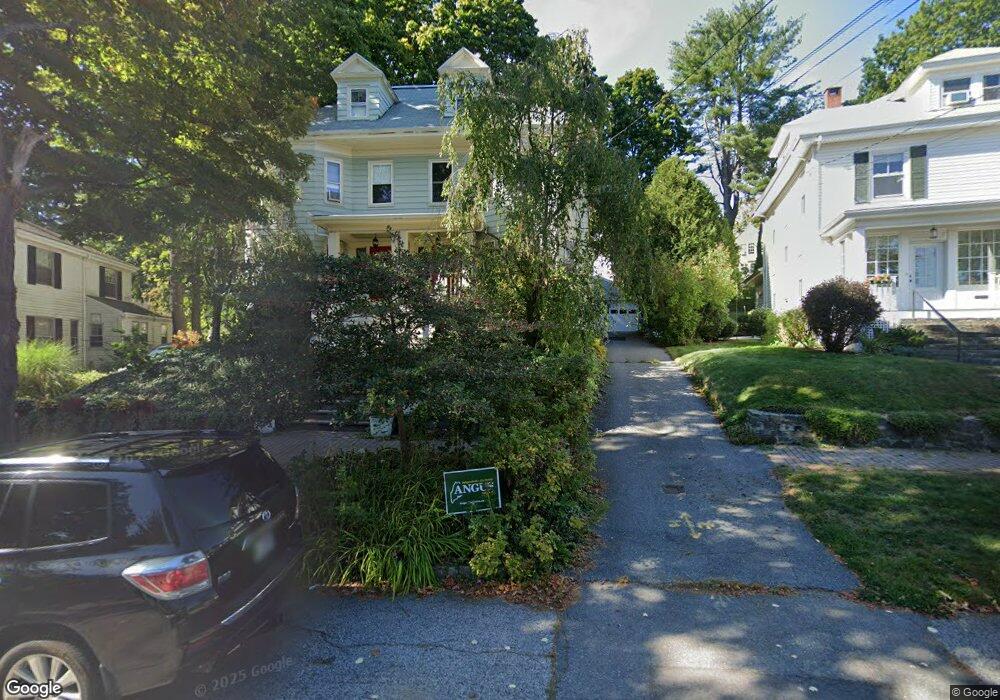
22 Orland St Portland, ME 04103
Deering Center NeighborhoodEstimated Value: $534,000 - $604,000
5
Beds
2
Baths
2,093
Sq Ft
$268/Sq Ft
Est. Value
About This Home
This home is located at 22 Orland St, Portland, ME 04103 and is currently estimated at $561,473, approximately $268 per square foot. 22 Orland St is a home located in Cumberland County with nearby schools including Longfellow School-Portland, Lincoln Middle School, and Levey Day School.
Ownership History
Date
Name
Owned For
Owner Type
Purchase Details
Closed on
Nov 22, 2005
Sold by
Gurney Steven G and Dick Leslie S
Bought by
Lesser Katherine M and Pierce James A
Current Estimated Value
Home Financials for this Owner
Home Financials are based on the most recent Mortgage that was taken out on this home.
Original Mortgage
$284,400
Outstanding Balance
$156,113
Interest Rate
6.07%
Mortgage Type
Purchase Money Mortgage
Estimated Equity
$405,360
Create a Home Valuation Report for This Property
The Home Valuation Report is an in-depth analysis detailing your home's value as well as a comparison with similar homes in the area
Home Values in the Area
Average Home Value in this Area
Purchase History
| Date | Buyer | Sale Price | Title Company |
|---|---|---|---|
| Lesser Katherine M | -- | -- |
Source: Public Records
Mortgage History
| Date | Status | Borrower | Loan Amount |
|---|---|---|---|
| Open | Lesser Katherine M | $284,400 |
Source: Public Records
Tax History Compared to Growth
Tax History
| Year | Tax Paid | Tax Assessment Tax Assessment Total Assessment is a certain percentage of the fair market value that is determined by local assessors to be the total taxable value of land and additions on the property. | Land | Improvement |
|---|---|---|---|---|
| 2024 | $5,980 | $398,400 | $79,680 | $318,720 |
| 2023 | $5,741 | $398,400 | $79,680 | $318,720 |
| 2022 | $5,422 | $398,400 | $79,680 | $318,720 |
| 2021 | $5,175 | $398,400 | $79,680 | $318,720 |
| 2020 | $7,928 | $340,100 | $68,000 | $272,100 |
| 2019 | $7,928 | $340,100 | $68,000 | $272,100 |
| 2018 | $7,645 | $340,100 | $68,000 | $272,100 |
| 2017 | $7,363 | $340,100 | $68,000 | $272,100 |
| 2016 | $7,116 | $337,100 | $67,400 | $269,700 |
| 2015 | $6,954 | $337,100 | $67,400 | $269,700 |
| 2014 | $6,742 | $337,100 | $67,400 | $269,700 |
Source: Public Records
Map
Nearby Homes
- 296 Brighton Ave
- 6 Highland St
- 232 Brighton Ave
- 200 Massachusetts Ave
- 14 Prospect St
- 160 Craigie St
- 48 Ashmont St
- 4 Fairview St
- 18 Stoneledge Dr
- 24 Edwards St
- 61 Deane St
- 44 Pleasant Ave
- 736 Forest Ave
- 44 Hersey St
- 25 Pleasant Ave
- 37 Tremont St
- 55 Payson St Unit 2
- 103 Deerfield Rd
- 147 Pleasant Ave Unit 2
- 7 Twin Knolls Ln