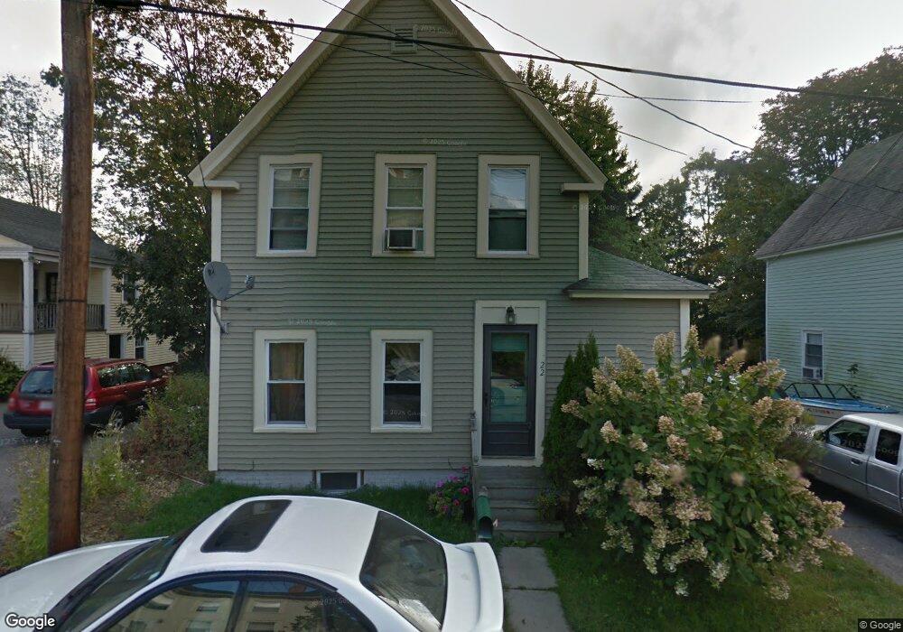
22 Otis Ave Kittery, ME 03904
Estimated Value: $507,926 - $592,000
3
Beds
2
Baths
1,112
Sq Ft
$489/Sq Ft
Est. Value
About This Home
This home is located at 22 Otis Ave, Kittery, ME 03904 and is currently estimated at $544,232, approximately $489 per square foot. 22 Otis Ave is a home with nearby schools including Shapleigh School, Horace Mitchell Primary School, and Robert W Traip Academy.
Ownership History
Date
Name
Owned For
Owner Type
Purchase Details
Closed on
Sep 4, 2012
Sold by
Selden Susan B
Bought by
Dyer Elizabeth H and Dyer Jeffrey N
Current Estimated Value
Create a Home Valuation Report for This Property
The Home Valuation Report is an in-depth analysis detailing your home's value as well as a comparison with similar homes in the area
Home Values in the Area
Average Home Value in this Area
Purchase History
| Date | Buyer | Sale Price | Title Company |
|---|---|---|---|
| Dyer Elizabeth H | -- | -- |
Source: Public Records
Tax History
| Year | Tax Paid | Tax Assessment Tax Assessment Total Assessment is a certain percentage of the fair market value that is determined by local assessors to be the total taxable value of land and additions on the property. | Land | Improvement |
|---|---|---|---|---|
| 2024 | $5,731 | $403,600 | $263,200 | $140,400 |
| 2023 | $5,426 | $398,700 | $263,200 | $135,500 |
| 2022 | $5,374 | $398,700 | $263,200 | $135,500 |
| 2021 | $5,183 | $398,700 | $263,200 | $135,500 |
| 2020 | $5,111 | $396,200 | $263,200 | $133,000 |
| 2019 | $2,821 | $162,100 | $57,200 | $104,900 |
| 2018 | $2,422 | $161,200 | $57,200 | $104,000 |
| 2017 | $2,660 | $161,200 | $57,200 | $104,000 |
| 2016 | $2,587 | $161,200 | $57,200 | $104,000 |
| 2015 | $2,526 | $161,200 | $57,200 | $104,000 |
| 2014 | $2,502 | $161,200 | $57,200 | $104,000 |
| 2013 | $2,453 | $161,200 | $57,200 | $104,000 |
Source: Public Records
Map
Nearby Homes
- 4 Trefethen Ave
- 20 Mendum Ave
- 35 Badgers Island W Unit 203
- 35 Badgers Island W Unit 301
- 35 Badgers Island W Unit 302
- 35 Badgers Island W Unit 103
- 30-3 Regency Cir Unit 3
- 27 Oak Terrace
- 25 Oak Terrace
- 36 State St
- 12 Gillis Dr Unit 3
- 66 State St Unit 202
- 137 Daniel St Unit D302
- 80 State St Unit 302
- 159 State St Unit 1b
- 93 High St Unit 4
- 20 Ladd St Unit K
- 144 Washington St
- 18 Congress St Unit 304
- 18 Congress St Unit 302
Your Personal Tour Guide
Ask me questions while you tour the home.