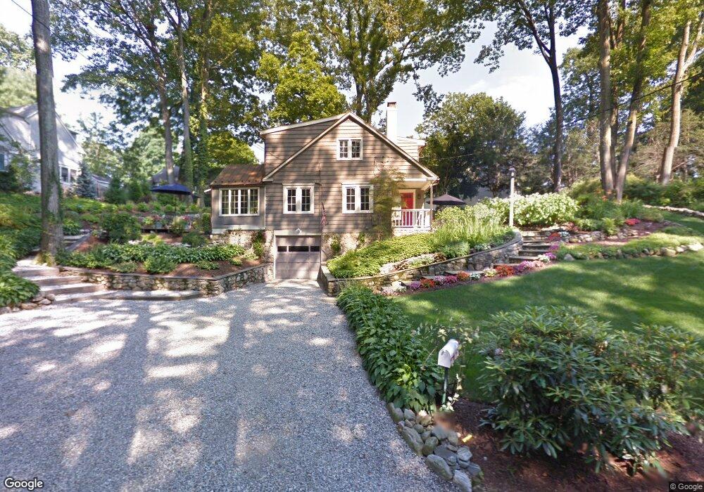
22 Otter Trail Westport, CT 06880
Westport Village NeighborhoodEstimated Value: $1,503,000 - $1,853,000
3
Beds
2
Baths
1,866
Sq Ft
$908/Sq Ft
Est. Value
About This Home
This home is located at 22 Otter Trail, Westport, CT 06880 and is currently estimated at $1,694,825, approximately $908 per square foot. 22 Otter Trail is a home located in Fairfield County with nearby schools including Saugatuck Elementary School, Bedford Middle School, and Staples High School.
Ownership History
Date
Name
Owned For
Owner Type
Purchase Details
Closed on
Sep 29, 2004
Sold by
Benwell-Lejene Peter H
Bought by
Mahony Ellen A
Current Estimated Value
Home Financials for this Owner
Home Financials are based on the most recent Mortgage that was taken out on this home.
Original Mortgage
$667,600
Interest Rate
6.25%
Purchase Details
Closed on
May 11, 1988
Sold by
Harrison Ray
Bought by
Doyle Michaelene
Create a Home Valuation Report for This Property
The Home Valuation Report is an in-depth analysis detailing your home's value as well as a comparison with similar homes in the area
Home Values in the Area
Average Home Value in this Area
Purchase History
| Date | Buyer | Sale Price | Title Company |
|---|---|---|---|
| Mahony Ellen A | $834,550 | -- | |
| Mahony Ellen A | $834,550 | -- | |
| Doyle Michaelene | $340,000 | -- |
Source: Public Records
Mortgage History
| Date | Status | Borrower | Loan Amount |
|---|---|---|---|
| Open | Doyle Michaelene | $870,000 | |
| Closed | Doyle Michaelene | $667,600 | |
| Closed | Doyle Michaelene | $166,950 |
Source: Public Records
Tax History Compared to Growth
Tax History
| Year | Tax Paid | Tax Assessment Tax Assessment Total Assessment is a certain percentage of the fair market value that is determined by local assessors to be the total taxable value of land and additions on the property. | Land | Improvement |
|---|---|---|---|---|
| 2025 | $12,085 | $640,800 | $413,000 | $227,800 |
| 2024 | $11,932 | $640,800 | $413,000 | $227,800 |
| 2023 | $11,511 | $627,300 | $413,000 | $214,300 |
| 2022 | $11,335 | $627,300 | $413,000 | $214,300 |
| 2021 | $5,490 | $616,500 | $413,000 | $203,500 |
| 2020 | $12,582 | $601,900 | $420,000 | $181,900 |
| 2019 | $10,148 | $601,900 | $420,000 | $181,900 |
| 2018 | $10,148 | $601,900 | $420,000 | $181,900 |
| 2017 | $5,445 | $601,900 | $420,000 | $181,900 |
| 2016 | $10,148 | $601,900 | $420,000 | $181,900 |
| 2015 | $9,293 | $513,700 | $337,400 | $176,300 |
| 2014 | $9,216 | $513,700 | $337,400 | $176,300 |
Source: Public Records
Map
Nearby Homes
- 3 Laurel Ln
- 5 Franklin Ave
- 23 Bridge St
- 171 & 169 Compo Rd S
- 171 Compo Rd S
- 102 Compo Rd S
- 26 Treadwell Ave
- 5A Sunrise Rd
- 42 Kings Hwy S
- 202 Bradley Ln Unit 202
- 21 Wright St
- 13 Hills Ln
- 7 Renzulli Rd
- 14 Strathmore Ln
- 6 Stony Point Rd
- 15 Renzulli Rd
- 11 Manitou Ct
- 60 Wilton Rd Unit 2C
- 110 William St
- 33 Pequot Trail