22 Palomino Cir Mantua, NJ 08051
Mantua Township NeighborhoodEstimated Value: $661,000 - $792,000
4
Beds
3
Baths
2,869
Sq Ft
$254/Sq Ft
Est. Value
About This Home
This home is located at 22 Palomino Cir, Mantua, NJ 08051 and is currently estimated at $729,273, approximately $254 per square foot. 22 Palomino Cir is a home located in Gloucester County with nearby schools including Centre City School, J. Mason Tomlin Elementary School, and Clearview Regional Middle School.
Ownership History
Date
Name
Owned For
Owner Type
Purchase Details
Closed on
Jul 1, 2010
Sold by
Suncrest Communities At Mantua Llc
Bought by
Caveng Rocco F and Caveng Jennifer L
Current Estimated Value
Home Financials for this Owner
Home Financials are based on the most recent Mortgage that was taken out on this home.
Original Mortgage
$415,262
Outstanding Balance
$276,361
Interest Rate
4.75%
Mortgage Type
FHA
Estimated Equity
$452,912
Purchase Details
Closed on
Dec 20, 2007
Sold by
Tindall Homes At Mantua Llc
Bought by
Suncrest Communities At Mantua Llc
Home Financials for this Owner
Home Financials are based on the most recent Mortgage that was taken out on this home.
Original Mortgage
$7,190,520
Interest Rate
6.21%
Mortgage Type
Purchase Money Mortgage
Create a Home Valuation Report for This Property
The Home Valuation Report is an in-depth analysis detailing your home's value as well as a comparison with similar homes in the area
Home Values in the Area
Average Home Value in this Area
Purchase History
| Date | Buyer | Sale Price | Title Company |
|---|---|---|---|
| Caveng Rocco F | $427,500 | Foundation Title Llc | |
| Suncrest Communities At Mantua Llc | $4,408,000 | Transnation Title Ins Co |
Source: Public Records
Mortgage History
| Date | Status | Borrower | Loan Amount |
|---|---|---|---|
| Open | Caveng Rocco F | $415,262 | |
| Previous Owner | Suncrest Communities At Mantua Llc | $7,190,520 |
Source: Public Records
Tax History Compared to Growth
Tax History
| Year | Tax Paid | Tax Assessment Tax Assessment Total Assessment is a certain percentage of the fair market value that is determined by local assessors to be the total taxable value of land and additions on the property. | Land | Improvement |
|---|---|---|---|---|
| 2025 | $14,394 | $596,000 | $132,000 | $464,000 |
| 2024 | $14,243 | $559,000 | $132,000 | $427,000 |
| 2023 | $14,243 | $559,000 | $132,000 | $427,000 |
| 2022 | $14,048 | $401,600 | $112,000 | $289,600 |
| 2021 | $14,152 | $401,600 | $112,000 | $289,600 |
| 2020 | $14,040 | $401,600 | $112,000 | $289,600 |
| 2019 | $13,803 | $401,600 | $112,000 | $289,600 |
| 2018 | $13,606 | $401,600 | $112,000 | $289,600 |
| 2017 | $13,401 | $401,600 | $112,000 | $289,600 |
| 2016 | $13,249 | $401,600 | $112,000 | $289,600 |
| 2015 | $12,898 | $400,800 | $111,200 | $289,600 |
| 2014 | $12,465 | $400,800 | $111,200 | $289,600 |
Source: Public Records
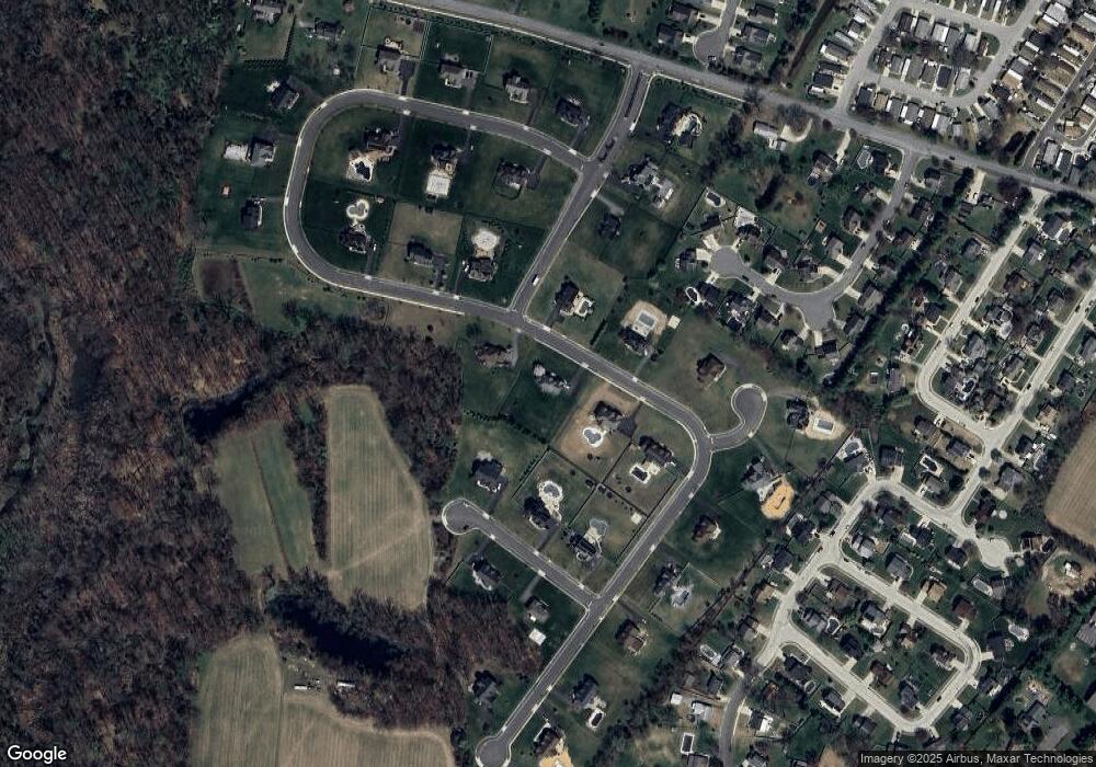
Map
Nearby Homes
- 155 Whippoorwill Way
- 190 Mockingbird Ln
- 36 Bluebird Rd
- 27 Kristen Ln
- 485 Harrison Ave
- 131 Firth Dr
- 204 W Landing Rd
- 261 Tony Cir
- 811 Sunflower Way
- 22 Marathon Dr
- 465 Berkley Rd
- 106 Firth Dr
- 101 Firth Dr
- 26 Woodstream Ct
- 433 Berkley Rd
- 530 Galahad Ct
- 1410 Tristram Cir Unit 1410
- 1415 Tristram Cir Unit 1415
- 119 Monroe Ave
- 325 Bridgeton Pike