22 Palomino Trail Reed Point, MT 59069
Estimated Value: $686,000 - $830,968
4
Beds
3
Baths
3,536
Sq Ft
$215/Sq Ft
Est. Value
About This Home
This home is located at 22 Palomino Trail, Reed Point, MT 59069 and is currently estimated at $758,484, approximately $214 per square foot. 22 Palomino Trail is a home located in Stillwater County with nearby schools including Reed Point Elementary School, Reed Point 7-8, and Reed Point High School.
Ownership History
Date
Name
Owned For
Owner Type
Purchase Details
Closed on
Nov 8, 2013
Sold by
Anthony L Anthony L and Simpson Lisa B
Bought by
Wagnild Seth and Wagnild Kara
Current Estimated Value
Home Financials for this Owner
Home Financials are based on the most recent Mortgage that was taken out on this home.
Original Mortgage
$252,700
Outstanding Balance
$166,328
Interest Rate
1.5%
Mortgage Type
New Conventional
Estimated Equity
$592,156
Purchase Details
Closed on
Jul 24, 2009
Sold by
Simpson Rondall B and Simpson Frances R
Bought by
Simpson Anthony L and Simpson Lisa B
Purchase Details
Closed on
Jul 1, 2005
Sold by
Simpson Anthony L and Simpson Frances R
Bought by
Simpson Anthony L and Simpson Lisa B
Purchase Details
Closed on
Jun 28, 2005
Sold by
West Lagretta L
Bought by
Simpson Anthony L and Simpson Frances R
Create a Home Valuation Report for This Property
The Home Valuation Report is an in-depth analysis detailing your home's value as well as a comparison with similar homes in the area
Home Values in the Area
Average Home Value in this Area
Purchase History
| Date | Buyer | Sale Price | Title Company |
|---|---|---|---|
| Wagnild Seth | -- | -- | |
| Simpson Anthony L | -- | -- | |
| Simpson Anthony L | -- | -- | |
| Simpson Anthony L | -- | -- |
Source: Public Records
Mortgage History
| Date | Status | Borrower | Loan Amount |
|---|---|---|---|
| Open | Wagnild Seth | $252,700 |
Source: Public Records
Tax History Compared to Growth
Tax History
| Year | Tax Paid | Tax Assessment Tax Assessment Total Assessment is a certain percentage of the fair market value that is determined by local assessors to be the total taxable value of land and additions on the property. | Land | Improvement |
|---|---|---|---|---|
| 2025 | $3,897 | $786,805 | $0 | $0 |
| 2024 | $3,917 | $595,627 | $0 | $0 |
| 2023 | $3,959 | $595,627 | $0 | $0 |
| 2022 | $2,793 | $385,612 | $0 | $0 |
| 2021 | $2,685 | $385,612 | $0 | $0 |
| 2020 | $3,024 | $406,779 | $0 | $0 |
| 2019 | $3,077 | $393,659 | $0 | $0 |
| 2018 | $2,348 | $325,055 | $0 | $0 |
| 2017 | $2,299 | $325,055 | $0 | $0 |
| 2016 | $2,276 | $300,147 | $0 | $0 |
| 2015 | $2,101 | $300,147 | $0 | $0 |
| 2014 | $1,803 | $137,402 | $0 | $0 |
Source: Public Records
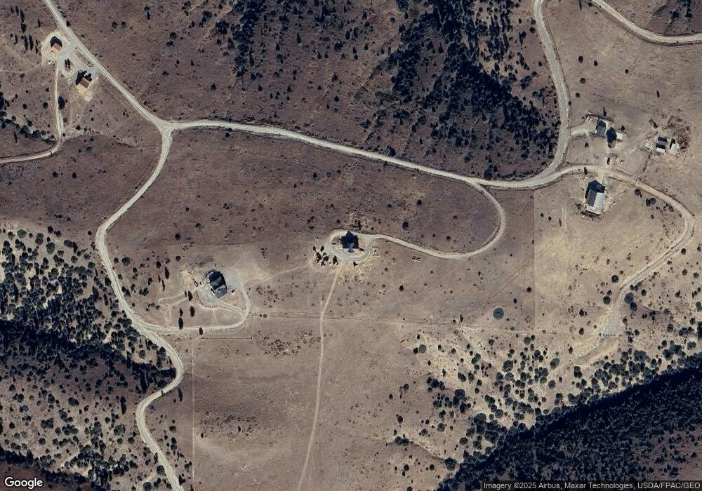
Map
Nearby Homes
- TBD Brumfield RD Brumfield Rd
- 9 Lost Cache Rd
- 27 Kestel Trail
- 20 Elkhorn Rd
- 88 Cougar Trail
- 51 Haystack Coulee Rd
- 94 Owl Canyon Rd
- TBD Lot#222 Coyote Pass
- LOT 215 Coyote Pass
- TBD lot #201 Coyote Pass
- 564a Countryman Creek Rd
- TBD Sunrise Dr
- 26 O'Dare Dr
- NHN Pelican Point
- 26 Yates Rd
- 30 Bear Wolf
- TBD Frontage Rd
- Lot 56 Hearts & Diamonds 2
- 74 Hwy 10 E
- 8 Division St N
- 203 Wild Horse Run
- 5 Palomino Trail
- 33 Palomino Trail
- 160 Wild Horse Run
- 203 Wild Horse Run
- 176 Wild Horse Run
- 223 Wild Horse Run
- YRR-41 Wild Horse Rd
- TBD Buckskin Trail
- 28 Wild Horse Run
- TBD Wild Horse
- 00 Buckskin Trail
- 36 Lost Cache Rd
- TBD Brumfield Rd
- 00 Brumfield Rd
- 29 Northern Harrier Rd
- LOT 52 Lost Cache Rd
- LOT 52 Lost Chache Rd
- Lot 227 Yellowstone River Ranch
- Lot # 54 Lost Cache Rd