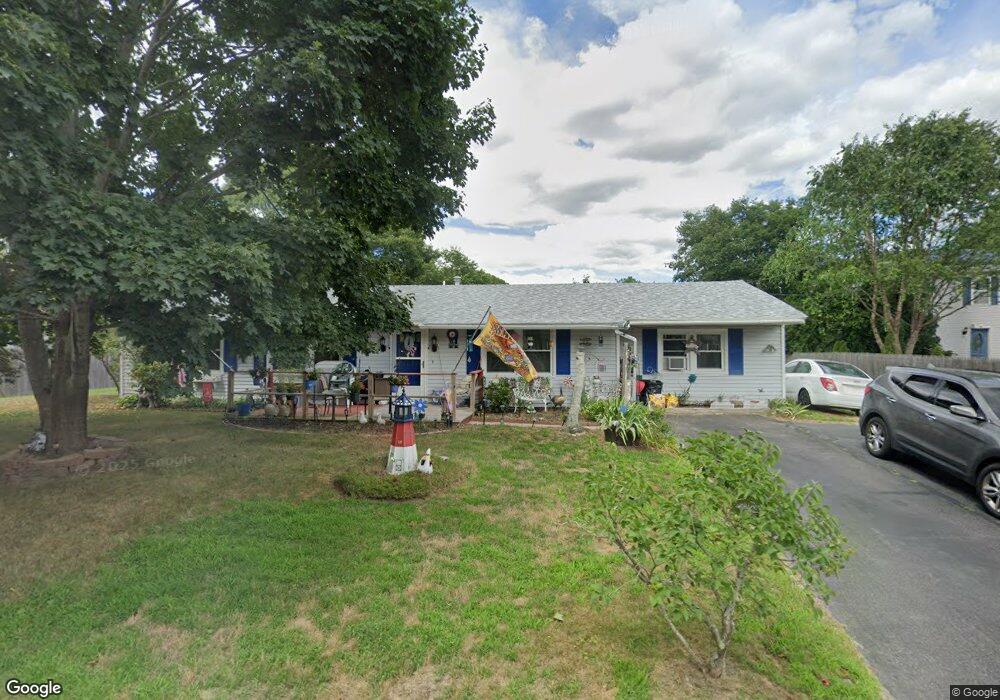
22 Parker Dr Wareham, MA 02571
Weweantic NeighborhoodEstimated Value: $459,000 - $562,000
3
Beds
1
Bath
1,412
Sq Ft
$347/Sq Ft
Est. Value
About This Home
This home is located at 22 Parker Dr, Wareham, MA 02571 and is currently estimated at $490,026, approximately $347 per square foot. 22 Parker Dr is a home located in Plymouth County with nearby schools including Tabor Academy.
Ownership History
Date
Name
Owned For
Owner Type
Purchase Details
Closed on
Nov 9, 2006
Sold by
Haskell Charles E
Bought by
Haskell Charales E and Haskell Holly A
Current Estimated Value
Create a Home Valuation Report for This Property
The Home Valuation Report is an in-depth analysis detailing your home's value as well as a comparison with similar homes in the area
Home Values in the Area
Average Home Value in this Area
Purchase History
| Date | Buyer | Sale Price | Title Company |
|---|---|---|---|
| Haskell Charales E | -- | -- | |
| Haskell Charales E | -- | -- |
Source: Public Records
Mortgage History
| Date | Status | Borrower | Loan Amount |
|---|---|---|---|
| Previous Owner | Haskell Charales E | $50,000 | |
| Previous Owner | Haskell Charales E | $34,000 | |
| Previous Owner | Haskell Charales E | $27,000 |
Source: Public Records
Tax History
| Year | Tax Paid | Tax Assessment Tax Assessment Total Assessment is a certain percentage of the fair market value that is determined by local assessors to be the total taxable value of land and additions on the property. | Land | Improvement |
|---|---|---|---|---|
| 2025 | $3,812 | $365,800 | $109,800 | $256,000 |
| 2024 | $3,951 | $351,800 | $85,800 | $266,000 |
| 2023 | $3,786 | $314,700 | $78,000 | $236,700 |
| 2022 | $3,282 | $249,000 | $78,000 | $171,000 |
| 2021 | $3,243 | $241,100 | $78,000 | $163,100 |
| 2020 | $3,022 | $227,900 | $78,000 | $149,900 |
| 2019 | $2,795 | $210,300 | $75,000 | $135,300 |
| 2018 | $2,635 | $193,300 | $75,000 | $118,300 |
| 2017 | $2,436 | $181,100 | $75,000 | $106,100 |
| 2016 | $2,220 | $164,100 | $72,500 | $91,600 |
| 2015 | $2,145 | $164,100 | $72,500 | $91,600 |
| 2014 | $2,136 | $166,200 | $68,900 | $97,300 |
Source: Public Records
Map
Nearby Homes
Your Personal Tour Guide
Ask me questions while you tour the home.