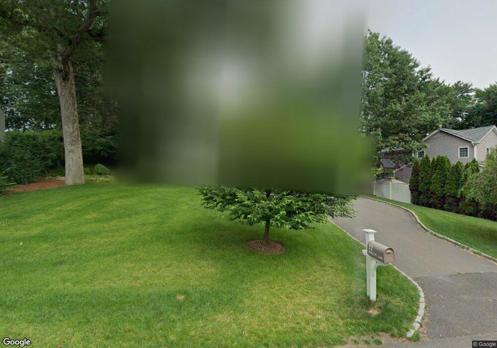
22 Phillips Ln Darien, CT 06820
Estimated Value: $1,627,000 - $2,524,000
4
Beds
3
Baths
3,796
Sq Ft
$571/Sq Ft
Est. Value
About This Home
This home is located at 22 Phillips Ln, Darien, CT 06820 and is currently estimated at $2,168,327, approximately $571 per square foot. 22 Phillips Ln is a home located in Fairfield County with nearby schools including Holmes Elementary School, Middlesex Middle School, and Darien High School.
Ownership History
Date
Name
Owned For
Owner Type
Purchase Details
Closed on
Sep 11, 2006
Sold by
Dunn Lyman Gerald and Dunn Judith B
Bought by
Kane Clifford S and Tan Stephanie Y
Current Estimated Value
Purchase Details
Closed on
Jan 23, 1998
Sold by
Cook Andrew W and Cook Janiece V
Bought by
Dunn Lyman G and Dunn Judith B
Purchase Details
Closed on
Aug 9, 1996
Sold by
Gomez Gale G
Bought by
Cook Andrew W and Cook Janiece
Purchase Details
Closed on
Jul 19, 1991
Sold by
Zilliox Thomas and Zilliox Christine
Bought by
Gomez Gale and Gomez Luis
Create a Home Valuation Report for This Property
The Home Valuation Report is an in-depth analysis detailing your home's value as well as a comparison with similar homes in the area
Home Values in the Area
Average Home Value in this Area
Purchase History
| Date | Buyer | Sale Price | Title Company |
|---|---|---|---|
| Kane Clifford S | $856,000 | -- | |
| Dunn Lyman G | $439,500 | -- | |
| Cook Andrew W | $375,000 | -- | |
| Gomez Gale | $320,000 | -- |
Source: Public Records
Mortgage History
| Date | Status | Borrower | Loan Amount |
|---|---|---|---|
| Open | Gomez Gale | $571,000 | |
| Closed | Gomez Gale | $649,000 |
Source: Public Records
Tax History
| Year | Tax Paid | Tax Assessment Tax Assessment Total Assessment is a certain percentage of the fair market value that is determined by local assessors to be the total taxable value of land and additions on the property. | Land | Improvement |
|---|---|---|---|---|
| 2025 | $18,976 | $1,225,840 | $673,050 | $552,790 |
| 2024 | $18,008 | $1,225,840 | $673,050 | $552,790 |
| 2023 | $16,378 | $930,020 | $480,760 | $449,260 |
| 2022 | $16,024 | $930,020 | $480,760 | $449,260 |
| 2021 | $15,662 | $930,020 | $480,760 | $449,260 |
| 2020 | $15,187 | $930,020 | $480,760 | $449,260 |
| 2019 | $15,317 | $930,020 | $480,760 | $449,260 |
| 2018 | $13,882 | $863,310 | $446,670 | $416,640 |
| 2017 | $9,027 | $558,600 | $446,670 | $111,930 |
| 2016 | $8,809 | $558,600 | $446,670 | $111,930 |
| 2015 | $8,575 | $558,600 | $446,670 | $111,930 |
| 2014 | $8,385 | $558,600 | $446,670 | $111,930 |
Source: Public Records
Map
Nearby Homes
- 17 Sunnyside Ave
- 19 Georgian Ln
- 455 Hope St Unit 4B
- 100 Maple Tree Ave Unit 7
- 7 Barnstable Ln
- 35 Maple Tree Ave Unit 1
- 76 Deepwood Rd
- 22 Radio Place Unit 10
- 34 Crescent St Unit 2D
- 71 Deleo Dr
- 144 Toms Rd
- 98 Scofield Ave
- 15 Waterbury Ln
- 910 Hope St Unit 5B
- 20 Norman Rd
- 24 Haig Ave
- 114 Pine Hill Ave
- 168 Belltown Rd Unit 31
- 13 Patton Dr
- 10 Turner Rd
Your Personal Tour Guide
Ask me questions while you tour the home.