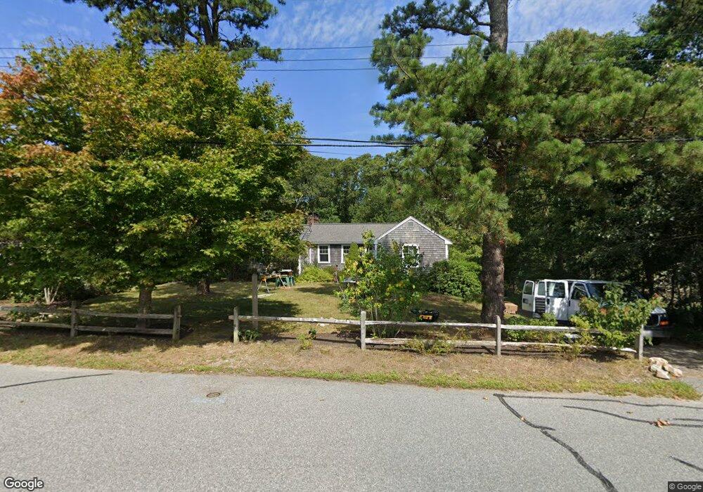
22 Pine Bluff Rd Brewster, MA 02631
Estimated Value: $510,000 - $785,000
2
Beds
1
Bath
1,001
Sq Ft
$620/Sq Ft
Est. Value
About This Home
This home is located at 22 Pine Bluff Rd, Brewster, MA 02631 and is currently estimated at $620,239, approximately $619 per square foot. 22 Pine Bluff Rd is a home located in Barnstable County with nearby schools including Stony Brook Elementary School, Eddy Elementary School, and Nauset Regional Middle School.
Ownership History
Date
Name
Owned For
Owner Type
Purchase Details
Closed on
Oct 26, 1999
Sold by
Sallack Marilyn J
Bought by
Toadvine Sarah L
Current Estimated Value
Create a Home Valuation Report for This Property
The Home Valuation Report is an in-depth analysis detailing your home's value as well as a comparison with similar homes in the area
Home Values in the Area
Average Home Value in this Area
Purchase History
| Date | Buyer | Sale Price | Title Company |
|---|---|---|---|
| Toadvine Sarah L | $137,500 | -- |
Source: Public Records
Mortgage History
| Date | Status | Borrower | Loan Amount |
|---|---|---|---|
| Open | Toadvine Sarah L | $55,000 | |
| Open | Toadvine Sarah L | $109,000 | |
| Closed | Toadvine Sarah L | $105,000 | |
| Closed | Toadvine Sarah L | $99,000 |
Source: Public Records
Tax History
| Year | Tax Paid | Tax Assessment Tax Assessment Total Assessment is a certain percentage of the fair market value that is determined by local assessors to be the total taxable value of land and additions on the property. | Land | Improvement |
|---|---|---|---|---|
| 2025 | $3,309 | $480,900 | $246,500 | $234,400 |
| 2024 | $3,228 | $474,000 | $252,700 | $221,300 |
| 2023 | $2,981 | $426,400 | $225,600 | $200,800 |
| 2022 | $2,793 | $355,800 | $188,000 | $167,800 |
| 2021 | $2,676 | $311,900 | $163,400 | $148,500 |
| 2020 | $2,515 | $291,800 | $150,300 | $141,500 |
| 2019 | $2,448 | $276,700 | $138,300 | $138,400 |
| 2018 | $2,241 | $271,300 | $138,300 | $133,000 |
| 2017 | $2,144 | $255,500 | $138,300 | $117,200 |
| 2016 | $2,009 | $238,300 | $123,300 | $115,000 |
| 2015 | $1,939 | $234,700 | $120,800 | $113,900 |
Source: Public Records
Map
Nearby Homes
- 32 Pine Bluff Rd
- 8 Pine Bluff Rd
- 10 Pine Bluff Rd
- 738 Great Fields Rd
- 15 Pine Bluff Rd
- 33 Pine Bluff Rd
- 720 Great Fields Rd
- 19 Brook Trail Rd
- 52 Pine Bluff Rd
- 7 Derrick Rd
- 47 Pine Bluff Rd
- 772 Great Fields Rd Unit 774
- 772 Great Fields Rd Unit 1 & 2
- 10 Derrick Rd
- 735 Great Fields Rd
- 24 Brook Trail Rd
- 772-774 Great Fields Rd
- 0 Deer Meadow Ln Unit 70998904
- 0 Deer Meadow Ln Unit 71246814
- 0 Deer Meadow Ln Unit 20609446
Your Personal Tour Guide
Ask me questions while you tour the home.