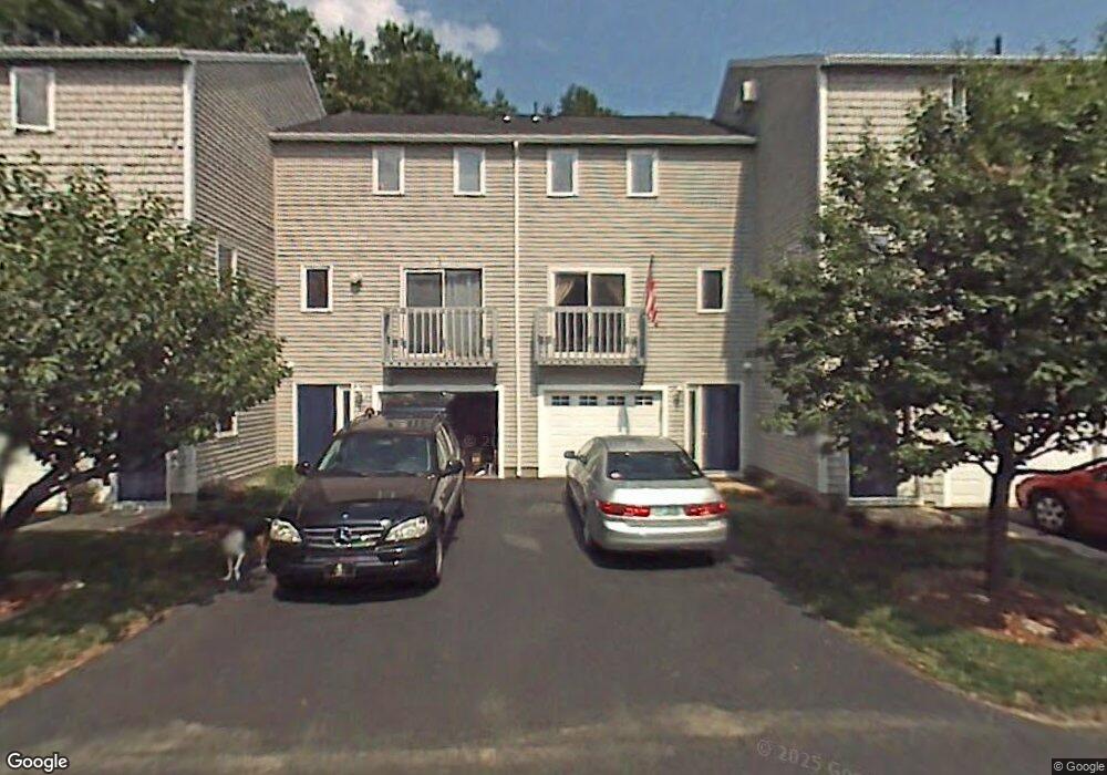
22 Profile Cir Nashua, NH 03063
Northwest Nashua NeighborhoodEstimated Value: $330,059 - $417,000
2
Beds
1
Bath
1,039
Sq Ft
$345/Sq Ft
Est. Value
About This Home
This home is located at 22 Profile Cir, Nashua, NH 03063 and is currently estimated at $358,265, approximately $344 per square foot. 22 Profile Cir is a home located in Hillsborough County with nearby schools including Charlotte Ave Elementary School, Pennichuck Middle School, and Nashua High School North.
Ownership History
Date
Name
Owned For
Owner Type
Purchase Details
Closed on
Aug 18, 2015
Sold by
Khanna Pooja
Bought by
Khanna Achla
Current Estimated Value
Purchase Details
Closed on
Oct 1, 1997
Sold by
Stjean Katherine
Bought by
Khanna Narinder Kimar
Home Financials for this Owner
Home Financials are based on the most recent Mortgage that was taken out on this home.
Original Mortgage
$44,800
Interest Rate
7.41%
Create a Home Valuation Report for This Property
The Home Valuation Report is an in-depth analysis detailing your home's value as well as a comparison with similar homes in the area
Home Values in the Area
Average Home Value in this Area
Purchase History
| Date | Buyer | Sale Price | Title Company |
|---|---|---|---|
| Khanna Achla | -- | -- | |
| Khanna Narinder Kimar | $56,000 | -- |
Source: Public Records
Mortgage History
| Date | Status | Borrower | Loan Amount |
|---|---|---|---|
| Previous Owner | Khanna Narinder Kimar | $44,800 |
Source: Public Records
Tax History Compared to Growth
Tax History
| Year | Tax Paid | Tax Assessment Tax Assessment Total Assessment is a certain percentage of the fair market value that is determined by local assessors to be the total taxable value of land and additions on the property. | Land | Improvement |
|---|---|---|---|---|
| 2024 | $5,005 | $314,800 | $0 | $314,800 |
| 2023 | $4,975 | $272,900 | $0 | $272,900 |
| 2022 | $4,931 | $272,900 | $0 | $272,900 |
| 2021 | $3,913 | $168,500 | $0 | $168,500 |
| 2020 | $3,810 | $168,500 | $0 | $168,500 |
| 2019 | $3,667 | $168,500 | $0 | $168,500 |
| 2018 | $3,574 | $168,500 | $0 | $168,500 |
| 2017 | $3,268 | $126,700 | $0 | $126,700 |
| 2016 | $3,176 | $126,700 | $0 | $126,700 |
| 2015 | $3,108 | $126,700 | $0 | $126,700 |
| 2014 | $3,047 | $126,700 | $0 | $126,700 |
Source: Public Records
Map
Nearby Homes
- 58 Profile Cir
- 74 Profile Cir
- 123 Cannongate III
- 33 Ferry Rd
- 7 Robert Dr
- 3 Wright Rd
- 19 Dunloggin Rd
- 3 Paddington Place
- 22 Berkshire Rd
- 17 Danbury Rd
- 38 Highbridge Hill Rd Unit 186
- 31 Ashland St
- 11 Amherst Terrace
- 5 Chatfield Dr Unit U18
- 4 Jared Cir Unit U21
- 239 Broad St
- 26 Andover Down Unit 276
- 3 Opal Way Unit 3
- 1 Opal Way Unit 1
- 2 Opal Way Unit 2
- 21 Profile Cir
- 23 Profile Cir
- 24 Profile Cir
- 24 Profile Cir Unit 24
- 20 Profile Cir
- 19 Profile Cir
- 18 Profile Cir
- 50 Profile Cir
- 49 Profile Cir
- 51 Profile Cir
- 52 Profile Cir
- 48 Profile Cir
- 16 Profile Cir
- 46 Profile Cir
- 15 Profile Cir
- 45 Profile Cir
- 44 Profile Cir
- 53 Profile Cir
- 14 Profile Cir
- 43 Profile Cir