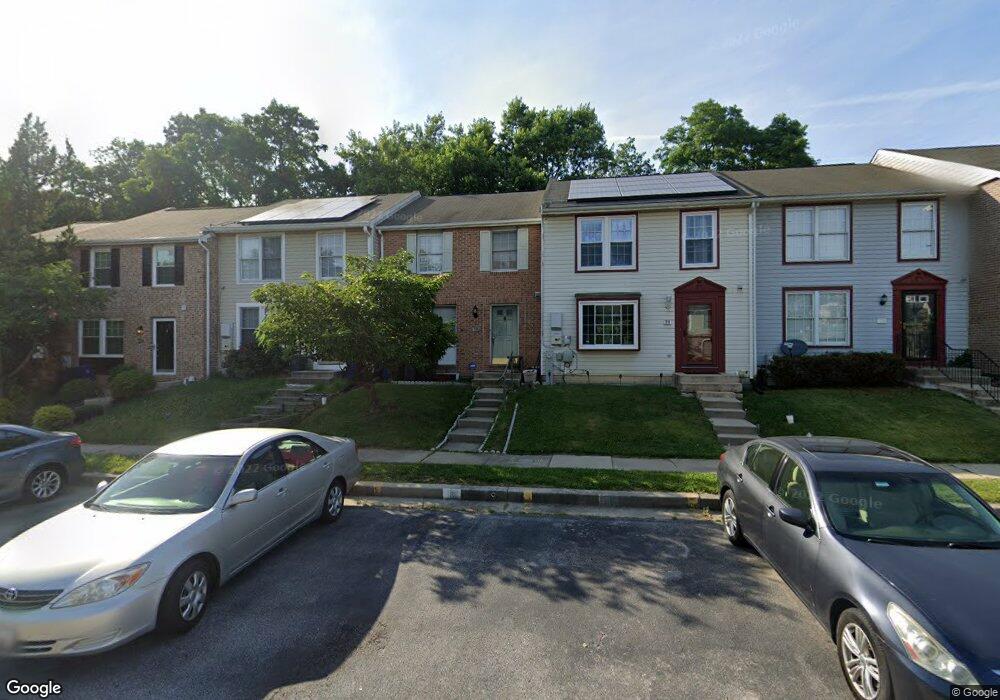
22 Ramsgate Ct Halethorpe, MD 21227
Estimated Value: $268,000 - $369,000
Studio
2
Baths
1,220
Sq Ft
$255/Sq Ft
Est. Value
About This Home
This home is located at 22 Ramsgate Ct, Halethorpe, MD 21227 and is currently estimated at $311,369, approximately $255 per square foot. 22 Ramsgate Ct is a home located in Baltimore County with nearby schools including Relay Elementary School, Arbutus Middle School, and Lansdowne High School.
Ownership History
Date
Name
Owned For
Owner Type
Purchase Details
Closed on
May 31, 2005
Sold by
Wright Wendy
Bought by
Fowler Joseph
Current Estimated Value
Home Financials for this Owner
Home Financials are based on the most recent Mortgage that was taken out on this home.
Original Mortgage
$108,000
Outstanding Balance
$55,913
Interest Rate
5.83%
Mortgage Type
New Conventional
Estimated Equity
$255,456
Purchase Details
Closed on
Jun 18, 1998
Sold by
Nazem Ahmad
Bought by
Wright Wendy
Create a Home Valuation Report for This Property
The Home Valuation Report is an in-depth analysis detailing your home's value as well as a comparison with similar homes in the area
Home Values in the Area
Average Home Value in this Area
Purchase History
| Date | Buyer | Sale Price | Title Company |
|---|---|---|---|
| Fowler Joseph | $135,000 | -- | |
| Wright Wendy | $92,000 | -- |
Source: Public Records
Mortgage History
| Date | Status | Borrower | Loan Amount |
|---|---|---|---|
| Open | Fowler Joseph | $108,000 | |
| Closed | Fowler Joseph | $20,150 |
Source: Public Records
Tax History
| Year | Tax Paid | Tax Assessment Tax Assessment Total Assessment is a certain percentage of the fair market value that is determined by local assessors to be the total taxable value of land and additions on the property. | Land | Improvement |
|---|---|---|---|---|
| 2025 | $3,187 | $240,933 | -- | -- |
| 2024 | $3,187 | $218,800 | $60,000 | $158,800 |
| 2023 | $1,534 | $209,700 | $0 | $0 |
| 2022 | $2,918 | $200,600 | $0 | $0 |
| 2021 | $2,689 | $191,500 | $60,000 | $131,500 |
| 2020 | $2,689 | $183,367 | $0 | $0 |
| 2019 | $2,569 | $175,233 | $0 | $0 |
| 2018 | $2,447 | $167,100 | $60,000 | $107,100 |
| 2017 | $2,393 | $166,467 | $0 | $0 |
| 2016 | $2,633 | $165,833 | $0 | $0 |
| 2015 | $2,633 | $165,200 | $0 | $0 |
| 2014 | $2,633 | $165,200 | $0 | $0 |
Source: Public Records
Map
Nearby Homes
- 933 Elm Rd
- 927 Grovehill Rd
- 1027 Downton Rd
- 17 Lanhill Ct
- 1078 Downton Rd
- 1207 Brewster St
- 25 W W End Ct
- 19 Piedmont Ct
- 5405 Highridge St
- 5402 Council St
- 5522 Ashbourne Rd
- 5816 Richardson Mews Square
- 1204 Birch Ave
- 5521 Willys Ave
- 1222 Locust Ave
- 5605 Oregon Ave
- 1211 Poplar Ave
- 1811 Wind Gate Rd
- 4624 Magnolia Ave
- 4606 Ridge Ave
- 11 Ramsgate Ct
- 18 Ramsgate Ct
- 9 Ramsgate Ct
- 26 Ramsgate Ct
- 13 Ramsgate Ct
- 7 Ramsgate Ct
- 29 Ramsgate Ct
- 15 Ramsgate Ct
- 5 Ramsgate Ct
- 3 Ramsgate Ct
- 17 Ramsgate Ct
- 19 Ramsgate Ct
- 1 Ramsgate Ct
- 16 Red Hearth Ct
- 18 Red Hearth Ct
- 14 Red Hearth Ct
- 20 Red Hearth Ct
- 12 Red Hearth Ct
- 10 Red Hearth Ct
- 8 Red Hearth Ct
Your Personal Tour Guide
Ask me questions while you tour the home.