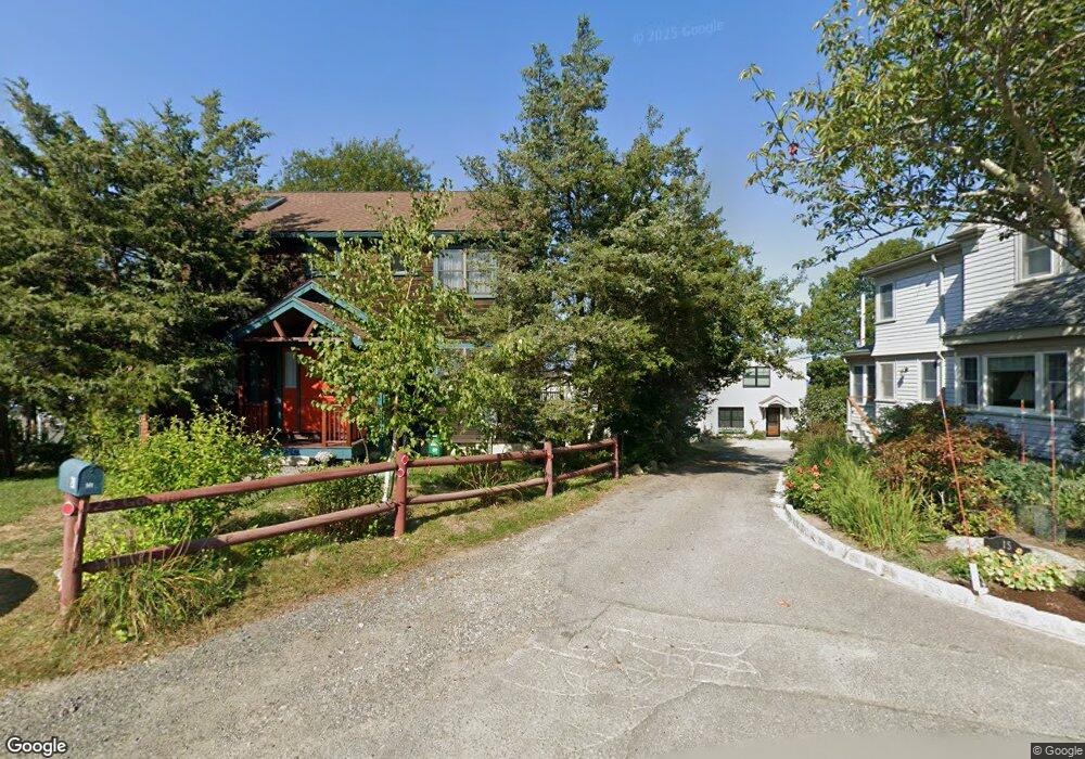
22 Riggs Point Rd Gloucester, MA 01930
Estimated Value: $647,000 - $1,167,089
2
Beds
3
Baths
1,092
Sq Ft
$899/Sq Ft
Est. Value
About This Home
This home is located at 22 Riggs Point Rd, Gloucester, MA 01930 and is currently estimated at $982,030, approximately $899 per square foot. 22 Riggs Point Rd is a home located in Essex County with nearby schools including Plum Cove School, Ralph B O'maley Middle School, and Gloucester High School.
Ownership History
Date
Name
Owned For
Owner Type
Purchase Details
Closed on
Oct 28, 1992
Sold by
Mccarthy Christopher J and Mccarthy John J
Bought by
Farina Thomas J and Forina Shirley E
Current Estimated Value
Home Financials for this Owner
Home Financials are based on the most recent Mortgage that was taken out on this home.
Original Mortgage
$75,000
Interest Rate
7.85%
Mortgage Type
Purchase Money Mortgage
Create a Home Valuation Report for This Property
The Home Valuation Report is an in-depth analysis detailing your home's value as well as a comparison with similar homes in the area
Purchase History
| Date | Buyer | Sale Price | Title Company |
|---|---|---|---|
| Farina Thomas J | $152,000 | -- |
Source: Public Records
Mortgage History
| Date | Status | Borrower | Loan Amount |
|---|---|---|---|
| Closed | Farina Thomas J | $75,000 |
Source: Public Records
Tax History
| Year | Tax Paid | Tax Assessment Tax Assessment Total Assessment is a certain percentage of the fair market value that is determined by local assessors to be the total taxable value of land and additions on the property. | Land | Improvement |
|---|---|---|---|---|
| 2025 | $10,897 | $1,121,100 | $793,400 | $327,700 |
| 2024 | $10,492 | $1,078,300 | $755,700 | $322,600 |
| 2023 | $10,040 | $948,100 | $644,600 | $303,500 |
| 2022 | $9,583 | $817,000 | $560,700 | $256,300 |
| 2021 | $9,549 | $767,600 | $509,600 | $258,000 |
| 2020 | $9,146 | $741,800 | $509,600 | $232,200 |
| 2019 | $8,899 | $701,300 | $485,900 | $215,400 |
| 2018 | $8,741 | $676,000 | $474,100 | $201,900 |
| 2017 | $8,502 | $644,600 | $451,500 | $193,100 |
| 2016 | $8,105 | $595,500 | $431,800 | $163,700 |
| 2015 | $7,928 | $580,800 | $422,000 | $158,800 |
Source: Public Records
Map
Nearby Homes
- 2 Breezy Point Rd
- 672 Washington St
- 3 Deacon Farm Ln
- 13 Honeysuckle Rd
- 31 Echo Ave
- 226 Atlantic St
- 178 Atlantic St
- 167 Atlantic St
- 136 Leonard St
- 4 Ciaramitaro Ct
- 13 Mystic Ave
- 8 Mystic Ave
- 3 Rockland St
- 6 Monroe Ct
- 98 Maplewood Ave
- 12 Arthur St
- 9 Cleveland Place
- 40 Sargent St
- 19 Trask St Unit 2
- 50 Warner St
- 24 Riggs Point Road Winter
- 24 Riggs Point Road Winter Unit WINTER
- 24 Riggs Point Rd
- 24 Riggs Point Rd Unit WINTER
- 18 Riggs Point Rd
- 28 Riggs Point Rd
- 26 Riggs Point Rd
- 16 Riggs Point Rd
- 20 Riggs Point Rd
- 15 Riggs Point Rd
- 14 Riggs Point Rd
- 90 Riggs Point Rd
- 12 Riggs Point Rd
- 19 Riggs Point Rd
- 17 Riggs Point Rd
- 50 Vine St
- 10 Riggs Point Rd
- 47 Vine St
- 48 Vine St
- 21 Riggs Point Rd
Your Personal Tour Guide
Ask me questions while you tour the home.