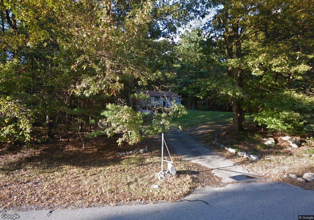
22 Royal Ln Londonderry, NH 03053
Estimated Value: $524,933 - $540,000
3
Beds
1
Bath
1,316
Sq Ft
$406/Sq Ft
Est. Value
About This Home
This home is located at 22 Royal Ln, Londonderry, NH 03053 and is currently estimated at $534,733, approximately $406 per square foot. 22 Royal Ln is a home located in Rockingham County with nearby schools including North Londonderry Elementary School, Londonderry Middle School, and Londonderry Senior High School.
Ownership History
Date
Name
Owned For
Owner Type
Purchase Details
Closed on
Dec 27, 2011
Sold by
Bundzinski Christopher and Bundzinski Mylene S
Bought by
Didomenico Patrick and Didomenico Marion L
Current Estimated Value
Home Financials for this Owner
Home Financials are based on the most recent Mortgage that was taken out on this home.
Original Mortgage
$144,799
Outstanding Balance
$99,317
Interest Rate
3.99%
Estimated Equity
$435,416
Create a Home Valuation Report for This Property
The Home Valuation Report is an in-depth analysis detailing your home's value as well as a comparison with similar homes in the area
Home Values in the Area
Average Home Value in this Area
Purchase History
| Date | Buyer | Sale Price | Title Company |
|---|---|---|---|
| Didomenico Patrick | $181,000 | -- |
Source: Public Records
Mortgage History
| Date | Status | Borrower | Loan Amount |
|---|---|---|---|
| Open | Didomenico Patrick | $144,799 | |
| Previous Owner | Didomenico Patrick | $253,500 |
Source: Public Records
Tax History Compared to Growth
Tax History
| Year | Tax Paid | Tax Assessment Tax Assessment Total Assessment is a certain percentage of the fair market value that is determined by local assessors to be the total taxable value of land and additions on the property. | Land | Improvement |
|---|---|---|---|---|
| 2024 | $6,848 | $424,300 | $199,900 | $224,400 |
| 2023 | $6,800 | $434,500 | $199,900 | $234,600 |
| 2022 | $6,525 | $353,100 | $149,800 | $203,300 |
| 2021 | $6,490 | $353,100 | $149,800 | $203,300 |
| 2020 | $6,238 | $310,200 | $121,100 | $189,100 |
| 2019 | $6,015 | $310,200 | $121,100 | $189,100 |
| 2018 | $5,308 | $243,500 | $100,200 | $143,300 |
| 2017 | $5,262 | $243,500 | $100,200 | $143,300 |
| 2016 | $5,235 | $243,500 | $100,200 | $143,300 |
| 2015 | $5,118 | $243,500 | $100,200 | $143,300 |
| 2014 | $5,135 | $243,500 | $100,200 | $143,300 |
| 2011 | -- | $246,700 | $100,200 | $146,500 |
Source: Public Records
Map
Nearby Homes
- 5 Hickory Hill Dr
- 90 High Range Rd
- 88 High Range Rd
- 12 Wiley Hill Rd
- 16 Wiley Hill Rd
- 6 Wiley Hill Rd
- 13 Woodbine Dr
- 23 Wiley Hill Rd
- 4 Woodbine Dr
- 11 Elise Ave Unit Lot 91
- 7 Currier Dr
- 4 Rockwood Ln
- 29 Rolling Ridge Rd
- 10 Jason Dr
- 35 Red Deer Rd
- 10 Manasquan Cir
- 15 Alan Cir
- 4 Delphi Way
- 6 Delphi Way
- 3 Delphi Way