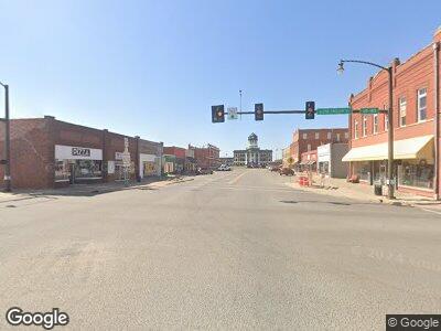
22 Rr 1 Cordell, OK 73632
Estimated Value: $257,075 - $378,000
4
Beds
2
Baths
2,640
Sq Ft
$115/Sq Ft
Est. Value
About This Home
This home is located at 22 Rr 1, Cordell, OK 73632 and is currently estimated at $302,769, approximately $114 per square foot. 22 Rr 1 is a home located in Washita County with nearby schools including Cordell Elementary School, Cordell Junior High School, and Cordell High School.
Ownership History
Date
Name
Owned For
Owner Type
Purchase Details
Closed on
Dec 13, 2013
Sold by
Bonham Brett and Bonham Anna
Bought by
Bonham Fred and Bonham Brenda
Current Estimated Value
Purchase Details
Closed on
Feb 21, 2008
Sold by
Hill Greg and Hill Deana
Bought by
Bonham Anna and Giblet Vance
Purchase Details
Closed on
Oct 18, 1996
Sold by
Ramsey Connie and Ramsey Bevwely
Bought by
Hill Greg and Hill Deana
Purchase Details
Closed on
Feb 7, 1996
Sold by
Southwest State Bank
Bought by
Ramsey Connie
Create a Home Valuation Report for This Property
The Home Valuation Report is an in-depth analysis detailing your home's value as well as a comparison with similar homes in the area
Home Values in the Area
Average Home Value in this Area
Purchase History
| Date | Buyer | Sale Price | Title Company |
|---|---|---|---|
| Bonham Fred | -- | -- | |
| Bonham Anna | -- | -- | |
| Hill Greg | $62,500 | -- | |
| Ramsey Connie | $51,500 | -- |
Source: Public Records
Mortgage History
| Date | Status | Borrower | Loan Amount |
|---|---|---|---|
| Closed | Unbridled Resources Llc | $0 |
Source: Public Records
Tax History Compared to Growth
Tax History
| Year | Tax Paid | Tax Assessment Tax Assessment Total Assessment is a certain percentage of the fair market value that is determined by local assessors to be the total taxable value of land and additions on the property. | Land | Improvement |
|---|---|---|---|---|
| 2024 | $1,159 | $13,797 | $6,710 | $7,087 |
| 2023 | $1,323 | $15,736 | $4,950 | $10,786 |
| 2022 | $1,345 | $15,736 | $4,950 | $10,786 |
| 2021 | $1,356 | $15,736 | $4,950 | $10,786 |
| 2020 | $1,374 | $16,057 | $4,950 | $11,107 |
| 2019 | $1,378 | $16,041 | $4,950 | $11,091 |
| 2018 | $1,378 | $16,356 | $4,950 | $11,406 |
| 2017 | $1,366 | $16,670 | $4,950 | $11,720 |
| 2016 | $1,456 | $17,181 | $4,950 | $12,231 |
| 2015 | $1,440 | $16,958 | $4,950 | $12,008 |
| 2014 | $1,440 | $16,510 | $4,950 | $11,560 |
Source: Public Records
Map
Nearby Homes
- 132 Florence Dr
- 118 N SyMcOx St
- 721 S Middle Ave
- 519 N SyMcOx St
- 515 N Fleming St
- 603 E Cavalry St
- 301 E Caddo St
- 717 E 11th St
- 802 E 8th St
- 311 S Linwood St
- 209 S Linwood St
- 1407 Mallard Way
- 1413 Mallard Way
- 1401 Pheasant Run Ct
- 603 N College St
- 607 N College St
- 512 N College St
- 215 N Market St
- 117 W 6th St
- 519 N West St
