22 Saint Andrews Ln Bluffton, SC 29909
Sun City Hilton Head NeighborhoodEstimated Value: $463,176 - $584,000
2
Beds
3
Baths
2,300
Sq Ft
$216/Sq Ft
Est. Value
About This Home
This home is located at 22 Saint Andrews Ln, Bluffton, SC 29909 and is currently estimated at $497,794, approximately $216 per square foot. 22 Saint Andrews Ln is a home located in Beaufort County with nearby schools including Okatie Elementary School, Bluffton Middle School, and May River High School.
Ownership History
Date
Name
Owned For
Owner Type
Purchase Details
Closed on
May 15, 2023
Sold by
Reinhard William G
Bought by
Belleniot Paul and Lange Diane
Current Estimated Value
Home Financials for this Owner
Home Financials are based on the most recent Mortgage that was taken out on this home.
Original Mortgage
$230,000
Outstanding Balance
$223,605
Interest Rate
6.39%
Mortgage Type
New Conventional
Estimated Equity
$274,189
Purchase Details
Closed on
Feb 7, 2018
Sold by
Reinhard William G and Reinhard Patricia B
Bought by
Reinhard William G and Reinhard Patricia B
Create a Home Valuation Report for This Property
The Home Valuation Report is an in-depth analysis detailing your home's value as well as a comparison with similar homes in the area
Home Values in the Area
Average Home Value in this Area
Purchase History
| Date | Buyer | Sale Price | Title Company |
|---|---|---|---|
| Belleniot Paul | $430,000 | None Listed On Document | |
| Reinhard William G | -- | None Available |
Source: Public Records
Mortgage History
| Date | Status | Borrower | Loan Amount |
|---|---|---|---|
| Open | Belleniot Paul | $230,000 |
Source: Public Records
Tax History Compared to Growth
Tax History
| Year | Tax Paid | Tax Assessment Tax Assessment Total Assessment is a certain percentage of the fair market value that is determined by local assessors to be the total taxable value of land and additions on the property. | Land | Improvement |
|---|---|---|---|---|
| 2024 | $6,385 | $25,800 | $0 | $0 |
| 2023 | $6,385 | $10,840 | $0 | $0 |
| 2022 | $1,053 | $11,036 | $2,080 | $8,956 |
| 2021 | $1,042 | $11,036 | $2,080 | $8,956 |
| 2020 | $1,038 | $11,036 | $2,080 | $8,956 |
| 2019 | $1,012 | $11,036 | $2,080 | $8,956 |
| 2018 | $979 | $9,430 | $0 | $0 |
| 2017 | $836 | $8,200 | $0 | $0 |
| 2016 | $823 | $8,200 | $0 | $0 |
| 2014 | $790 | $8,200 | $0 | $0 |
Source: Public Records
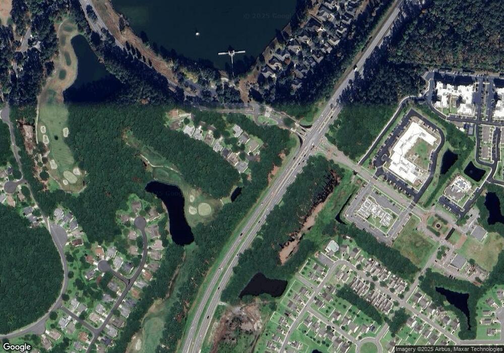
Map
Nearby Homes
- 20 St Andrews Ln
- 20 Saint Andrews Ln
- 18 Saint Andrews Ln
- 21 Saint Andrews Ln
- 19 Saint Andrews Ln
- 16 Saint Andrews Ln
- 17 Saint Andrews Ln
- 14 Saint Andrews Ln
- 15 Saint Andrews Ln
- 12 Saint Andrews Ln
- 10 Saint Andrews Ln
- 110 Seagrass Station Rd
- 8 Saint Andrews Ln
- 6 Saint Andrews Ln
- 4 Saint Andrews Ln
- 38 Raymond Rd
- 129 Lake Somerset Cir
- 132 Lake Somerset Cir
- 36 Raymond Rd
- 105 Seagrass Station Rd