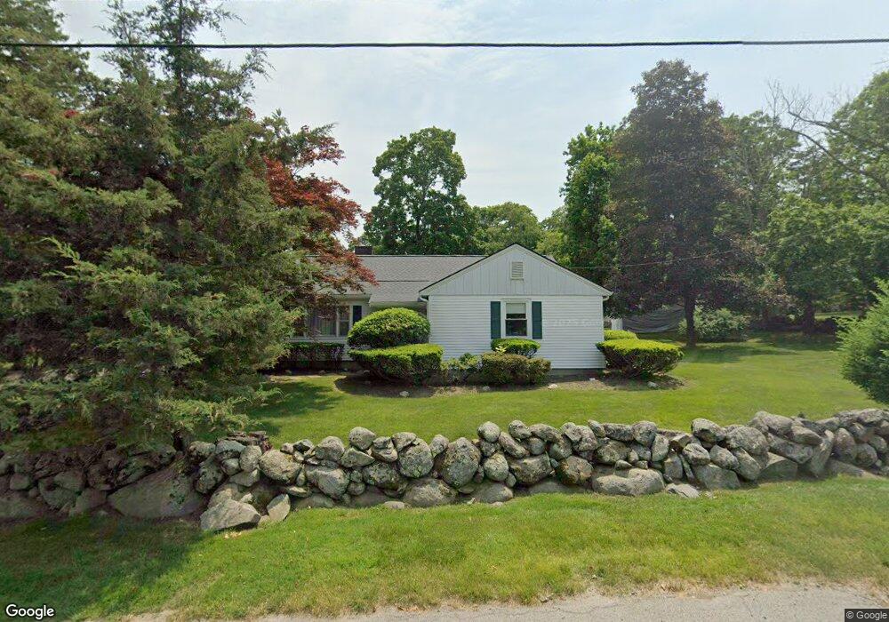
22 Samuel Ave Brockton, MA 02301
Campello NeighborhoodEstimated Value: $440,000 - $554,000
2
Beds
2
Baths
1,275
Sq Ft
$395/Sq Ft
Est. Value
About This Home
This home is located at 22 Samuel Ave, Brockton, MA 02301 and is currently estimated at $503,356, approximately $394 per square foot. 22 Samuel Ave is a home located in Plymouth County with nearby schools including Davis K-8 School, John F. Kennedy Elementary School, and South Middle School.
Ownership History
Date
Name
Owned For
Owner Type
Purchase Details
Closed on
Dec 15, 2008
Sold by
James Robert C
Bought by
James Robert C and Stankus-James Dalia M
Current Estimated Value
Purchase Details
Closed on
Jan 31, 1994
Sold by
James Elinor M
Bought by
James Robert C
Home Financials for this Owner
Home Financials are based on the most recent Mortgage that was taken out on this home.
Original Mortgage
$76,000
Interest Rate
7.11%
Mortgage Type
Purchase Money Mortgage
Create a Home Valuation Report for This Property
The Home Valuation Report is an in-depth analysis detailing your home's value as well as a comparison with similar homes in the area
Home Values in the Area
Average Home Value in this Area
Purchase History
| Date | Buyer | Sale Price | Title Company |
|---|---|---|---|
| James Robert C | -- | -- | |
| James Robert C | $80,000 | -- |
Source: Public Records
Mortgage History
| Date | Status | Borrower | Loan Amount |
|---|---|---|---|
| Previous Owner | James Robert C | $62,300 | |
| Previous Owner | James Robert C | $76,000 |
Source: Public Records
Tax History Compared to Growth
Tax History
| Year | Tax Paid | Tax Assessment Tax Assessment Total Assessment is a certain percentage of the fair market value that is determined by local assessors to be the total taxable value of land and additions on the property. | Land | Improvement |
|---|---|---|---|---|
| 2025 | $5,710 | $471,500 | $162,700 | $308,800 |
| 2024 | $5,480 | $455,900 | $162,700 | $293,200 |
| 2023 | $5,461 | $420,700 | $128,900 | $291,800 |
| 2022 | $5,093 | $364,600 | $117,700 | $246,900 |
| 2021 | $4,918 | $339,200 | $106,200 | $233,000 |
| 2020 | $4,724 | $311,800 | $101,700 | $210,100 |
| 2019 | $4,591 | $295,400 | $94,600 | $200,800 |
| 2018 | $4,137 | $257,600 | $94,600 | $163,000 |
| 2017 | $4,020 | $249,700 | $94,600 | $155,100 |
| 2016 | $4,128 | $237,800 | $91,200 | $146,600 |
| 2015 | $3,893 | $214,500 | $91,200 | $123,300 |
| 2014 | $3,800 | $209,600 | $91,200 | $118,400 |
Source: Public Records
Map
Nearby Homes
- 15 Fieldstone Dr
- 13 Finny's Way
- 358 Copeland St
- 1 Fairway Dr
- 15 Longworth Ave Unit 231
- 21 Roosevelt Ave
- 35 Longworth Ave Unit 17
- 47 Southworth St
- 16 Friendship Dr
- 57 Copeland St
- 18 American Ave
- 115 Leach Ave
- 115 Market St
- 163 S Leyden St
- 1036 Ash St
- Lot 1 Jeffrey Ln
- 6 Maddison
- 65 Tremont St
- 223 Clinton St Unit 10
- 223 Clinton St Unit 3
- 9 Fieldstone Dr
- 15 Samuel Ave
- 29 Samuel Ave
- 10 Samuel Ave
- 463 Copeland St
- 429 Copeland St
- 46 Samuel Ave
- 8 Fieldstone Dr
- 450 Copeland St
- 438 Copeland St
- 468 Copeland St
- 489 Copeland St
- 430 Copeland St
- 476 Copeland St
- 424 Copeland St
- 74 Samuel Ave
- 60 Susan Rd
- 482 Copeland St
- 49 Susan Rd
- 418 Copeland St