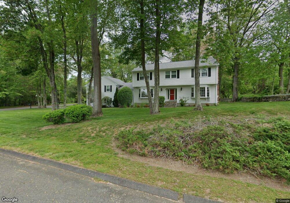
22 Skytop Dr Trumbull, CT 06611
Daniel Farm District NeighborhoodEstimated Value: $829,000 - $1,049,000
4
Beds
3
Baths
3,674
Sq Ft
$249/Sq Ft
Est. Value
About This Home
This home is located at 22 Skytop Dr, Trumbull, CT 06611 and is currently estimated at $913,812, approximately $248 per square foot. 22 Skytop Dr is a home located in Fairfield County with nearby schools including Daniels Farm School, Hillcrest Middle School, and Trumbull High School.
Ownership History
Date
Name
Owned For
Owner Type
Purchase Details
Closed on
Apr 2, 1992
Sold by
Migala Thomas and Colt Carolyn
Bought by
Macura Dennis A and Macura Laurel A
Current Estimated Value
Purchase Details
Closed on
May 10, 1990
Sold by
Phh Homequity Corp
Bought by
Migala Thomas
Purchase Details
Closed on
Feb 5, 1990
Sold by
Donnelly Gerald
Bought by
Phh Homequity Corp
Create a Home Valuation Report for This Property
The Home Valuation Report is an in-depth analysis detailing your home's value as well as a comparison with similar homes in the area
Home Values in the Area
Average Home Value in this Area
Purchase History
| Date | Buyer | Sale Price | Title Company |
|---|---|---|---|
| Macura Dennis A | $345,000 | -- | |
| Migala Thomas | $310,000 | -- | |
| Phh Homequity Corp | $426,000 | -- |
Source: Public Records
Mortgage History
| Date | Status | Borrower | Loan Amount |
|---|---|---|---|
| Open | Phh Homequity Corp | $373,000 | |
| Closed | Phh Homequity Corp | $441,100 | |
| Closed | Phh Homequity Corp | $475,000 |
Source: Public Records
Tax History Compared to Growth
Tax History
| Year | Tax Paid | Tax Assessment Tax Assessment Total Assessment is a certain percentage of the fair market value that is determined by local assessors to be the total taxable value of land and additions on the property. | Land | Improvement |
|---|---|---|---|---|
| 2025 | $14,798 | $400,820 | $146,930 | $253,890 |
| 2024 | $14,393 | $400,820 | $146,930 | $253,890 |
| 2023 | $14,161 | $400,820 | $146,930 | $253,890 |
| 2022 | $13,935 | $400,820 | $146,930 | $253,890 |
| 2021 | $13,187 | $360,850 | $133,630 | $227,220 |
| 2020 | $12,936 | $360,850 | $133,630 | $227,220 |
| 2018 | $12,617 | $360,850 | $133,630 | $227,220 |
| 2017 | $12,363 | $360,850 | $133,630 | $227,220 |
| 2016 | $12,114 | $360,850 | $133,630 | $227,220 |
| 2015 | $12,583 | $370,500 | $140,200 | $230,300 |
| 2014 | $12,212 | $367,500 | $140,200 | $227,300 |
Source: Public Records
Map
Nearby Homes
- Lot 31 Valley View Rd
- 33 Enclave Dr Unit 33
- 184 Putting Green Rd
- 33 Rexview Cir
- 17 Rainbow Dr
- 75 Roosevelt Dr
- 11 Laurel St
- 58 Daniels Farm Rd
- 7 Manor Dr
- 60 Lillian Dr
- 8 Moorland Rd
- 253 Mayfield Dr Unit 253
- 283 Mayfield Dr
- 93 Putting Green Rd N
- 121 Paugusett Cir
- 50 Hemlock Trail
- 122 Paugusett Cir
- 0 Main St
- 57 Gray Rock Rd
- 244 Strobel Rd