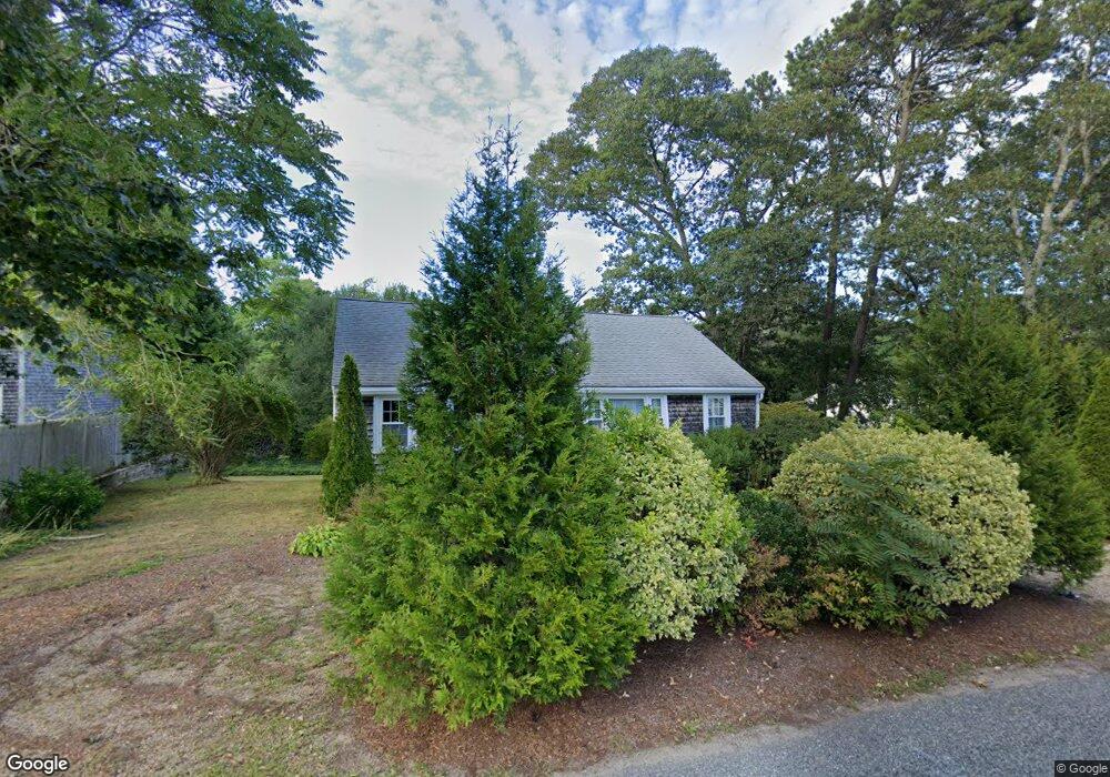
22 Smith St Dennis Port, MA 02639
Dennis Port NeighborhoodEstimated Value: $444,000 - $535,000
3
Beds
1
Bath
936
Sq Ft
$510/Sq Ft
Est. Value
About This Home
This home is located at 22 Smith St, Dennis Port, MA 02639 and is currently estimated at $477,102, approximately $509 per square foot. 22 Smith St is a home located in Barnstable County with nearby schools including Dennis-Yarmouth Regional High School and St. Pius X. School.
Ownership History
Date
Name
Owned For
Owner Type
Purchase Details
Closed on
Sep 16, 2025
Sold by
Wall Brian J and Wall Peter S
Bought by
22 Smith Street Llc
Current Estimated Value
Purchase Details
Closed on
Aug 29, 2025
Sold by
Marshall Margaret A
Bought by
Wall Brian J and Wall Peter S
Purchase Details
Closed on
Jun 9, 2017
Sold by
22 Smith St Rt and Wall
Bought by
Wall Karen K
Purchase Details
Closed on
Jan 9, 2014
Sold by
Wall Karen K
Bought by
22 Smith Street Rt and Wall
Purchase Details
Closed on
Oct 16, 1987
Sold by
Borner Thomas S
Bought by
Wall Karen K
Home Financials for this Owner
Home Financials are based on the most recent Mortgage that was taken out on this home.
Original Mortgage
$45,000
Interest Rate
10.63%
Mortgage Type
Purchase Money Mortgage
Create a Home Valuation Report for This Property
The Home Valuation Report is an in-depth analysis detailing your home's value as well as a comparison with similar homes in the area
Home Values in the Area
Average Home Value in this Area
Purchase History
| Date | Buyer | Sale Price | Title Company |
|---|---|---|---|
| 22 Smith Street Llc | -- | -- | |
| Wall Brian J | $133,333 | -- | |
| Wall Karen K | -- | -- | |
| 22 Smith Street Rt | -- | -- | |
| Wall Karen K | $72,500 | -- |
Source: Public Records
Mortgage History
| Date | Status | Borrower | Loan Amount |
|---|---|---|---|
| Previous Owner | Wall Karen K | $25,000 | |
| Previous Owner | Wall Karen K | $45,000 |
Source: Public Records
Tax History Compared to Growth
Tax History
| Year | Tax Paid | Tax Assessment Tax Assessment Total Assessment is a certain percentage of the fair market value that is determined by local assessors to be the total taxable value of land and additions on the property. | Land | Improvement |
|---|---|---|---|---|
| 2025 | $1,542 | $356,100 | $129,100 | $227,000 |
| 2024 | $1,470 | $334,800 | $131,500 | $203,300 |
| 2023 | $1,421 | $304,300 | $119,500 | $184,800 |
| 2022 | $1,449 | $258,800 | $119,600 | $139,200 |
| 2021 | $2,388 | $219,900 | $105,500 | $114,400 |
| 2020 | $1,277 | $209,300 | $105,500 | $103,800 |
| 2019 | $1,215 | $197,000 | $103,500 | $93,500 |
| 2018 | $5,612 | $183,500 | $98,500 | $85,000 |
| 2017 | $5,471 | $185,400 | $98,500 | $86,900 |
| 2016 | $1,122 | $171,800 | $109,400 | $62,400 |
| 2015 | $1,100 | $171,800 | $109,400 | $62,400 |
| 2014 | $1,022 | $161,000 | $87,600 | $73,400 |
Source: Public Records
Map
Nearby Homes
- 11 Lane Rd
- 91 Depot Rd W
- 47 Telegraph Rd Unit 1
- 9 Country Ln
- 141 Division St
- 141 Division St
- 24 Indian Trail
- 78 Upper County Rd Unit A&B
- 78 Upper County Rd
- 12 Candlewood Ln Unit 2-9
- 10 Candlewood Ln Unit 2-1
- 9 Bells Neck Rd Unit 10
- 45 Route 28
- 537 Depot St
- 9 Mansion St
- 40 Willow St
- 79 Massachusetts 28
- 64 Smith St
- 73 Division St
- 20 Aunt Debbys Rd