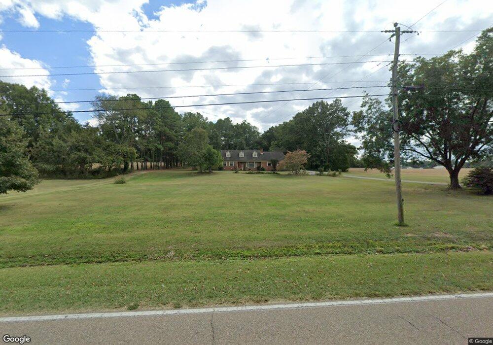
22 State Route 420 Unit 22 Humboldt, TN 38343
Estimated Value: $229,000 - $330,000
--
Bed
3
Baths
3,211
Sq Ft
$87/Sq Ft
Est. Value
About This Home
This home is located at 22 State Route 420 Unit 22, Humboldt, TN 38343 and is currently estimated at $279,956, approximately $87 per square foot. 22 State Route 420 Unit 22 is a home located in Gibson County with nearby schools including South Gibson County Elementary School, South Gibson County Middle School, and South Gibson County High School.
Ownership History
Date
Name
Owned For
Owner Type
Purchase Details
Closed on
Aug 18, 2016
Sold by
Shelton Robert M
Bought by
Shelton Robert Meeks and Shelton Virginia Lee
Current Estimated Value
Purchase Details
Closed on
Jul 13, 2007
Sold by
Shelton Robert M
Bought by
Comer Melissa
Purchase Details
Closed on
Sep 23, 1997
Sold by
Shelton Robert A
Bought by
Jones John R
Purchase Details
Closed on
Apr 27, 1996
Sold by
Booth Jo A
Bought by
Shelton Robert A
Purchase Details
Closed on
Mar 21, 1966
Bought by
Booth John W and Booth Jo A
Create a Home Valuation Report for This Property
The Home Valuation Report is an in-depth analysis detailing your home's value as well as a comparison with similar homes in the area
Home Values in the Area
Average Home Value in this Area
Purchase History
| Date | Buyer | Sale Price | Title Company |
|---|---|---|---|
| Shelton Robert Meeks | -- | -- | |
| Comer Melissa | -- | -- | |
| Jones John R | -- | -- | |
| Shelton Robert A | $170,000 | -- | |
| Booth John W | -- | -- |
Source: Public Records
Tax History Compared to Growth
Tax History
| Year | Tax Paid | Tax Assessment Tax Assessment Total Assessment is a certain percentage of the fair market value that is determined by local assessors to be the total taxable value of land and additions on the property. | Land | Improvement |
|---|---|---|---|---|
| 2025 | $1,368 | $63,750 | $0 | $0 |
| 2024 | $1,368 | $63,750 | $6,250 | $57,500 |
| 2023 | $1,229 | $39,475 | $2,400 | $37,075 |
| 2022 | $1,201 | $39,475 | $2,400 | $37,075 |
| 2021 | $1,201 | $39,475 | $2,400 | $37,075 |
| 2020 | $1,201 | $39,475 | $2,400 | $37,075 |
| 2019 | $1,201 | $39,475 | $2,400 | $37,075 |
| 2018 | $1,263 | $39,975 | $2,400 | $37,575 |
| 2017 | $1,243 | $39,975 | $2,400 | $37,575 |
| 2016 | $1,243 | $39,975 | $2,400 | $37,575 |
| 2015 | -- | $39,975 | $2,400 | $37,575 |
| 2014 | -- | $39,975 | $2,400 | $37,575 |
Source: Public Records
Map
Nearby Homes
- 0 Trenton Hwy
- 99 Fruitland Rd
- 290 Tennessee 420
- 00 Mag Duffy St
- 116 Gale Faucett Rd
- 00 N Central Ave
- 195 Old Jackson Rd
- 1532 Mag Duffy St
- 2834 N Central Ave
- 2820 N Central Ave
- 0 Harpers Chapel Rd
- 36 Casey Rd
- 2998 N Central Ave
- 00 Central Ave
- 340 Gibson Hwy
- 0 Viking Dr
- 00 Daisy Donaldson Rd
- 1730 Stallings Rd
- 0 Highway 45 Bypass
- 00 Humboldt Gibson Hwy