22 Stumpfield Rd Contoocook, NH 03229
Estimated Value: $568,000 - $669,000
3
Beds
2
Baths
2,798
Sq Ft
$222/Sq Ft
Est. Value
About This Home
This home is located at 22 Stumpfield Rd, Contoocook, NH 03229 and is currently estimated at $620,219, approximately $221 per square foot. 22 Stumpfield Rd is a home located in Merrimack County with nearby schools including Harold Martin School, Maple Street Elementary School, and Hopkinton Middle School.
Ownership History
Date
Name
Owned For
Owner Type
Purchase Details
Closed on
Jan 29, 2025
Sold by
Dominic Kimberly and Dominic Steven
Bought by
Castelot Allison and Castelot William
Current Estimated Value
Purchase Details
Closed on
Feb 17, 2019
Sold by
Martin Dorothy E and Martin Michael J
Bought by
Castelot Allison and Castelot William
Home Financials for this Owner
Home Financials are based on the most recent Mortgage that was taken out on this home.
Original Mortgage
$294,025
Interest Rate
4.4%
Mortgage Type
New Conventional
Create a Home Valuation Report for This Property
The Home Valuation Report is an in-depth analysis detailing your home's value as well as a comparison with similar homes in the area
Home Values in the Area
Average Home Value in this Area
Purchase History
| Date | Buyer | Sale Price | Title Company |
|---|---|---|---|
| Castelot Allison | $630,000 | None Available | |
| Castelot Allison | $309,533 | -- | |
| Castelot Allison | $309,533 | -- |
Source: Public Records
Mortgage History
| Date | Status | Borrower | Loan Amount |
|---|---|---|---|
| Previous Owner | Castelot Allison | $294,025 |
Source: Public Records
Tax History Compared to Growth
Tax History
| Year | Tax Paid | Tax Assessment Tax Assessment Total Assessment is a certain percentage of the fair market value that is determined by local assessors to be the total taxable value of land and additions on the property. | Land | Improvement |
|---|---|---|---|---|
| 2024 | $9,633 | $440,085 | $190,885 | $249,200 |
| 2023 | $9,583 | $273,635 | $89,035 | $184,600 |
| 2022 | $8,838 | $274,045 | $89,445 | $184,600 |
| 2020 | $8,031 | $274,549 | $89,949 | $184,600 |
| 2019 | $7,951 | $273,049 | $89,949 | $183,100 |
| 2018 | $8,719 | $250,985 | $76,885 | $174,100 |
| 2017 | $8,530 | $248,773 | $76,473 | $172,300 |
| 2016 | $8,346 | $248,773 | $76,473 | $172,300 |
| 2015 | $8,364 | $248,774 | $76,474 | $172,300 |
| 2014 | $8,104 | $248,896 | $83,396 | $165,500 |
| 2013 | $7,435 | $258,705 | $110,505 | $148,200 |
Source: Public Records
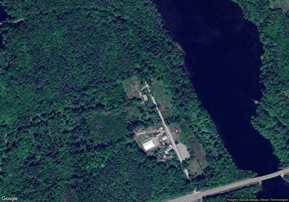
Map
Nearby Homes
- 0 Bound Tree Rd Unit 50 5060705
- 256 Irish Hill Rd
- 464 Irish Hill Rd
- 105 Clement Hill Rd
- 455 Maple St
- 89 Old Henniker Rd
- 541 South Rd
- 430 Highland Dr
- 108 Maple St
- 93-1 Pine St
- 0 Pine St Unit 38 5061613
- 0 Pine St Unit 50 5060731
- 56 Maple St Unit C
- 38 Woodwells Garrison Rd
- 732 Concord Stage Rd Unit 5
- 0 Old Concord Rd Unit 551-A 5014211
- 256-0-17 Jewett Rd
- 1035 Hopkinton Rd
- 470 Jewett Rd
- 0 Als Dr Unit 196
- 64 Stumpfield Rd
- 180 Stumpfield Rd
- 214 Stumpfield Rd
- 247 Stumpfield Rd
- 242 Stumpfield Rd
- 295 Stumpfield Rd
- 310 Stumpfield Rd
- 113 Apple Tree Ln
- 351 Stumpfield Rd
- 136 Tucker Dr
- 144 Tucker Dr
- 352 Stumpfield Rd
- 135 Tucker Dr
- 120 Tucker Dr
- 115 Tucker Dr
- 110 Tucker Dr
- L2 Little Frost Rd
- 0 Little Frost Rd Unit 2
- 167 Tucker Dr
- 107 Tucker Dr