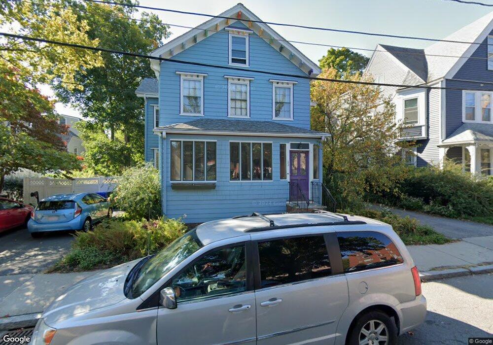
22 Vernon St Brookline, MA 02446
Coolidge Corner NeighborhoodEstimated Value: $2,468,000 - $3,269,000
--
Bed
4
Baths
--
Sq Ft
6,534
Sq Ft Lot
About This Home
This home is located at 22 Vernon St, Brookline, MA 02446 and is currently estimated at $2,885,651. 22 Vernon St is a home located in Norfolk County with nearby schools including Pierce School, St. Mary of the Assumption Elementary School, and Maimonides School.
Ownership History
Date
Name
Owned For
Owner Type
Purchase Details
Closed on
Jun 25, 1999
Sold by
Zuckerman Georgette
Bought by
Baker Jean C and Baker Tania A
Current Estimated Value
Home Financials for this Owner
Home Financials are based on the most recent Mortgage that was taken out on this home.
Original Mortgage
$393,000
Outstanding Balance
$106,001
Interest Rate
7.09%
Mortgage Type
Purchase Money Mortgage
Estimated Equity
$2,779,650
Create a Home Valuation Report for This Property
The Home Valuation Report is an in-depth analysis detailing your home's value as well as a comparison with similar homes in the area
Home Values in the Area
Average Home Value in this Area
Purchase History
| Date | Buyer | Sale Price | Title Company |
|---|---|---|---|
| Baker Jean C | $765,000 | -- |
Source: Public Records
Mortgage History
| Date | Status | Borrower | Loan Amount |
|---|---|---|---|
| Open | Baker Jean C | $393,000 |
Source: Public Records
Tax History Compared to Growth
Tax History
| Year | Tax Paid | Tax Assessment Tax Assessment Total Assessment is a certain percentage of the fair market value that is determined by local assessors to be the total taxable value of land and additions on the property. | Land | Improvement |
|---|---|---|---|---|
| 2025 | $21,831 | $2,211,900 | $1,254,500 | $957,400 |
| 2024 | $20,769 | $2,125,800 | $1,206,200 | $919,600 |
| 2023 | $19,413 | $1,947,100 | $997,700 | $949,400 |
| 2022 | $18,896 | $1,854,400 | $950,200 | $904,200 |
| 2021 | $17,474 | $1,783,100 | $913,700 | $869,400 |
| 2020 | $16,065 | $1,700,000 | $830,600 | $869,400 |
| 2019 | $15,170 | $1,619,000 | $791,000 | $828,000 |
| 2018 | $13,708 | $1,449,000 | $642,000 | $807,000 |
| 2017 | $13,506 | $1,367,000 | $605,700 | $761,300 |
| 2016 | $13,313 | $1,277,600 | $566,000 | $711,600 |
| 2015 | $12,238 | $1,145,900 | $480,900 | $665,000 |
| 2014 | $12,261 | $1,076,500 | $437,200 | $639,300 |
Source: Public Records
Map
Nearby Homes
- 24 Auburn St Unit 1
- 24 Auburn St Unit 2
- 24 Auburn St Unit 3
- 5 Auburn Ct Unit 1
- 80 Park St Unit 23
- 57 Harvard Ave Unit 1
- 80 Vernon St Unit 1-A
- 80 Vernon St Unit 2B
- 80 Vernon St Unit PHA
- 80 Vernon St Unit 3A
- 80 Vernon St Unit 3B
- 30 Stearns Rd Unit 302
- 89 Marion St
- 45 Longwood Ave Unit 812
- 45 Longwood Ave Unit PHA
- 120 Brook St Unit 1
- 106 Brook St
- 60 Longwood Ave Unit 802
- 60 Longwood Ave Unit 307
- 60 Longwood Ave Unit 403
- 22 Vernon St Unit 45-215
- 22 Vernon St Unit 45-507
- 22 Vernon St Unit 613
- 22 Vernon St
- 22 Vernon St Unit 412
- 18 Vernon St
- 26 Vernon St Unit 28
- 26 Vernon St Unit 3
- 26 Vernon St Unit 1
- 26 Vernon St
- 26 Vernon St Unit 23
- 28 Vernon St Unit 1
- 32 Vernon St
- 32 Vernon St Unit 306
- 32 Vernon St Unit 2 (top)
- 32 Vernon St Unit 412
- 32 Vernon St Unit 203
- 32 Vernon St Unit 2
- 32 Vernon St Unit 406
- 32 Vernon St