22 Wilson Rd Pownal, ME 04069
Estimated Value: $526,014 - $678,000
3
Beds
2
Baths
1,550
Sq Ft
$386/Sq Ft
Est. Value
About This Home
This home is located at 22 Wilson Rd, Pownal, ME 04069 and is currently estimated at $598,005, approximately $385 per square foot. 22 Wilson Rd is a home with nearby schools including Freeport High School.
Create a Home Valuation Report for This Property
The Home Valuation Report is an in-depth analysis detailing your home's value as well as a comparison with similar homes in the area
Home Values in the Area
Average Home Value in this Area
Tax History Compared to Growth
Tax History
| Year | Tax Paid | Tax Assessment Tax Assessment Total Assessment is a certain percentage of the fair market value that is determined by local assessors to be the total taxable value of land and additions on the property. | Land | Improvement |
|---|---|---|---|---|
| 2024 | $5,576 | $328,000 | $109,100 | $218,900 |
| 2023 | $5,146 | $273,000 | $90,900 | $182,100 |
| 2022 | $4,914 | $273,000 | $90,900 | $182,100 |
| 2021 | $4,914 | $273,000 | $90,900 | $182,100 |
| 2020 | $4,914 | $273,000 | $90,900 | $182,100 |
| 2019 | $4,996 | $273,000 | $90,900 | $182,100 |
| 2018 | $8,892 | $273,000 | $90,900 | $182,100 |
| 2017 | $318 | $273,000 | $90,900 | $182,100 |
| 2016 | $287 | $273,000 | $90,900 | $182,100 |
| 2015 | $2,808 | $83,200 | $21,100 | $62,100 |
| 2014 | $2,870 | $83,200 | $21,100 | $62,100 |
| 2013 | $2,891 | $83,200 | $21,100 | $62,100 |
Source: Public Records
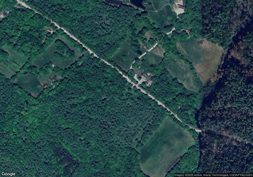
Map
Nearby Homes
- 890 Elmwood Rd
- 284 Allen Rd
- 850 Lawrence Rd
- 244 Allen Rd
- 026-01 Dow Ln
- 99 Rangdale Rd
- 238 Hallowell Rd
- 79 Birchwood Terrace
- 0 New Gloucester Rd
- 200 Woodman Rd
- 118 Royal Rd
- 162 Merrill Rd
- 395 New Gloucester Rd
- 1 Mattie Ln
- 4 Harper's Trail
- 160 Gloucester Hill Rd
- 155 & 151 Gloucester Hill Rd
- 0018-C Gloucester Hill Rd
- 206 Davis Rd
- 10 Cobbs Bridge Rd