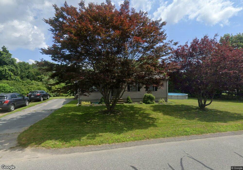
22 Wing Ln Acushnet, MA 02743
Estimated Value: $424,589 - $547,000
3
Beds
1
Bath
1,008
Sq Ft
$483/Sq Ft
Est. Value
About This Home
This home is located at 22 Wing Ln, Acushnet, MA 02743 and is currently estimated at $486,897, approximately $483 per square foot. 22 Wing Ln is a home located in Bristol County with nearby schools including Acushnet Elementary School, Albert F Ford Middle School, and Alma Del Mar Charter School.
Ownership History
Date
Name
Owned For
Owner Type
Purchase Details
Closed on
Feb 26, 1996
Sold by
Gadbois Wilfred J and Gadbois Leola G
Bought by
Lafleur Lori L and Lafleur Brian H
Current Estimated Value
Create a Home Valuation Report for This Property
The Home Valuation Report is an in-depth analysis detailing your home's value as well as a comparison with similar homes in the area
Home Values in the Area
Average Home Value in this Area
Purchase History
| Date | Buyer | Sale Price | Title Company |
|---|---|---|---|
| Lafleur Lori L | $114,900 | -- |
Source: Public Records
Mortgage History
| Date | Status | Borrower | Loan Amount |
|---|---|---|---|
| Open | Lafleur Lori L | $52,238 | |
| Open | Lafleur Lori L | $200,000 | |
| Closed | Lafleur Lori L | $200,000 |
Source: Public Records
Tax History
| Year | Tax Paid | Tax Assessment Tax Assessment Total Assessment is a certain percentage of the fair market value that is determined by local assessors to be the total taxable value of land and additions on the property. | Land | Improvement |
|---|---|---|---|---|
| 2025 | $37 | $346,300 | $127,600 | $218,700 |
| 2024 | $3,658 | $320,600 | $120,900 | $199,700 |
| 2023 | $3,547 | $295,600 | $109,700 | $185,900 |
| 2022 | $3,546 | $267,200 | $103,000 | $164,200 |
| 2021 | $3,449 | $249,400 | $103,000 | $146,400 |
| 2020 | $3,171 | $227,500 | $96,300 | $131,200 |
| 2019 | $3,039 | $214,300 | $91,800 | $122,500 |
| 2018 | $2,943 | $204,100 | $91,800 | $112,300 |
| 2017 | $2,842 | $196,800 | $91,800 | $105,000 |
| 2016 | $2,801 | $192,800 | $91,800 | $101,000 |
| 2015 | $2,660 | $186,300 | $91,800 | $94,500 |
Source: Public Records
Map
Nearby Homes
- 0 Hathaway Rd Unit 73469544
- 12 White St
- 14 Hayes St Unit 1
- 12 Hayes St Unit 1
- 11 Boylston St
- 23 Oliveira Ave
- 25 Pershing Ave
- 91 S Main St
- 41 Chershire Ave
- 112 Lawson Ave
- 363 Main St
- 20 Jake Ln
- 4 Sam St
- 122 Truro St
- 81 Sylvia St
- 53 Howard Ave
- 5 William St
- 759 Belleville Ave
- 489 Main St
- 7 Deerfield Ln
Your Personal Tour Guide
Ask me questions while you tour the home.